编目地图
Derbyshire LVI - OS Six-Inch Map
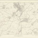

完整标题:Derbyshire LVI - OS Six-Inch Map
描述:1913
发布日期:1921
出版商:Ordnance Survey
物理尺寸:20 x 30 cm
地图比例尺:1:10 560
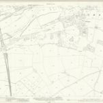
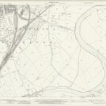
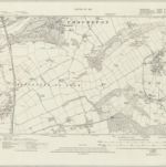
Derbyshire LVI.11 (includes: Gotham; Lockington Hemington; Long Eaton; Ratcliffe on Soar; Thrumpton) - 25 Inch Map
1919
Ordnance Survey
1:3k
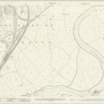
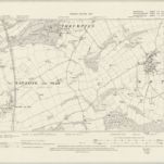
Nottinghamshire XLV.11 (includes: Gotham; Lockington Hemington; Long Eaton; Ratcliffe On Soar; Thrumpton) - 25 Inch Map
1899
Ordnance Survey
1:3k
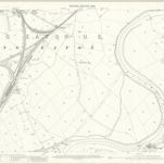
Nottinghamshire XLV.11 (includes: Gotham; Lockington Hemington; Long Eaton; Ratcliffe On Soar; Thrumpton) - 25 Inch Map
1882
Ordnance Survey
1:3k
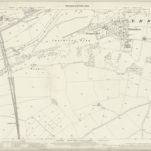
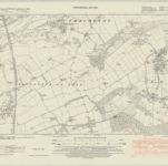
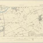
Derbyshire LVI.7 (includes: Barton in Fabis; Long Eaton; Thrumpton) - 25 Inch Map
1938
Ordnance Survey
1:3k
Derbyshire LVI.7 (includes: Barton in Fabis; Long Eaton; Thrumpton) - 25 Inch Map
1913
Ordnance Survey
1:3k
Derbyshire LVI.7 (includes: Barton in Fabis; Long Eaton; Thrumpton) - 25 Inch Map
1899
Ordnance Survey
1:3k

Derbyshire LVI.7 (includes: Barton in Fabis; Long Eaton; Thrumpton) - 25 Inch Map
1882
Ordnance Survey
1:3k
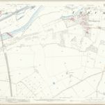
Derbyshire LVI.SE - OS Six-Inch Map
1938
Ordnance Survey
1:11k
Derbyshire LVI.SE - OS Six-Inch Map
1919
Ordnance Survey
1:11k
Derbyshire LVI.SE - OS Six-Inch Map
1899
Ordnance Survey
1:11k
Nottinghamshire XLV.SE - OS Six-Inch Map
1881
Ordnance Survey
1:11k