Mapa catalogado
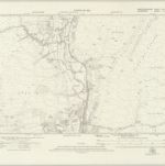
Glamorgan XIX.SW - OS Six-Inch Map
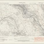

Título completo:Glamorgan XIX.SW - OS Six-Inch Map
Año de ilustración:1938
Fecha de publicación:1947
Editorial:Ordnance Survey
Tamaño físico:20 x 30 cm
Escala del mapa:1:10 560
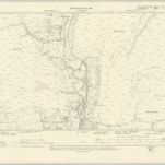
SO00 - OS 1:25,000 Provisional Series Map
1938
Ordnance Survey
1:25k
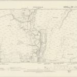
Brecknockshire LI - OS Six-Inch Map
1914
Ordnance Survey
1:11k
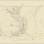
Glamorgan XII - OS Six-Inch Map
1868
Ordnance Survey
1:11k
Brecknockshire XLVI - OS Six-Inch Map
1914
Ordnance Survey
1:11k
Glamorgan XIX - OS Six-Inch Map
1868
Ordnance Survey
1:11k
Glamorgan XIX - OS Six-Inch Map
1914
Ordnance Survey
1:11k
Brecknockshire XLVI.NW - OS Six-Inch Map
1948
Ordnance Survey
1:11k
Brecknockshire XLVI.NW - OS Six-Inch Map
1914
Ordnance Survey
1:11k
Brecknockshire XLVI.NW - OS Six-Inch Map
1903
Ordnance Survey
1:11k
Glamorgan VI.NW - OS Six-Inch Map
1897
Ordnance Survey
1:11k
Brecknockshire XLVI.NW - OS Six-Inch Map
1885
Ordnance Survey
1:11k