Cataloged map
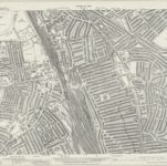
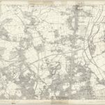
London (Edition of 1894-96) XII (includes: Hornsey St Mary; Tottenham; Wood Green) - 25 Inch Map

Full title:London (Edition of 1894-96) XII (includes: Hornsey St Mary; Tottenham; Wood Green) - 25 Inch Map
Depicted:1893 - 1894
Pubdate:1896
Publisher:Ordnance Survey
Physical Size:20 x 30 cm
Map scale:1:2 500
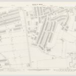
London III.45 - OS London Town Plan
1893
Ordnance Survey
1:1k
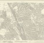
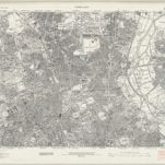
Middlesex XII.6 (includes: Hornsey St Mary; Tottenham; Wood Green) - 25 Inch Map
1935
Ordnance Survey
1:3k
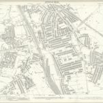
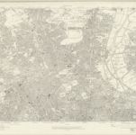
Middlesex XII.6 (includes: Hornsey St Mary; Tottenham; Wood Green) - 25 Inch Map
1912
Ordnance Survey
1:3k
London (Edition of 1894-96) XII (includes: Hornsey St Mary; Tottenham; Wood Green) - 25 Inch Map
1894
Ordnance Survey
1:3k
An exact survey of the city's of London Westminster , V
1761
John Rocque
Essex nLXXVII - OS Six-Inch Map
1938
Ordnance Survey
1:11k
London Sheet G - OS Six-Inch Map
1912
Ordnance Survey
1:11k
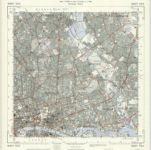
Middlesex XII - OS Six-Inch Map
1863
Ordnance Survey
1:11k
TQ38 - OS 1:25,000 Provisional Series Map
1938
Ordnance Survey
1:25k
Plan of the roads and main objects on the eastern part of London : as connected with the tunnel excavating under the Thames from Rotherhithe to Wapping
1827
Brunel, Marc Isambard, Sir, 1769-1849
1:48k