Mapa catalogado
Staffordshire LXII.NW - OS Six-Inch Map

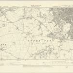
Título completo:Staffordshire LXII.NW - OS Six-Inch Map
Año de ilustración:1886
Fecha de publicación:1886
Editorial:Ordnance Survey
Tamaño físico:20 x 30 cm
Escala del mapa:1:10 560

Staffordshire LXII - OS Six-Inch Map
1919
Ordnance Survey
1:11k
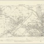
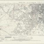
Staffordshire LXII.NW - OS Six-Inch Map
1938
Ordnance Survey
1:11k
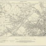
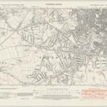
Staffordshire LXII.NW - OS Six-Inch Map
1919
Ordnance Survey
1:11k
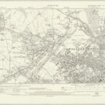
Staffordshire LXII.NW - OS Six-Inch Map
1913
Ordnance Survey
1:11k
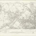
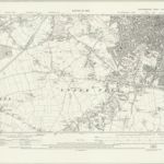
Staffordshire LXII.NW - OS Six-Inch Map
1900
Ordnance Survey
1:11k

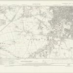
Staffordshire LXII.NW - OS Six-Inch Map
1886
Ordnance Survey
1:11k
Staffordshire LXII.SW - OS Six-Inch Map
1938
Ordnance Survey
1:11k
Staffordshire LXII.SW - OS Six-Inch Map
1938
Ordnance Survey
1:11k
Staffordshire LXII.SW - OS Six-Inch Map
1919
Ordnance Survey
1:11k
Staffordshire LXII.SW - OS Six-Inch Map
1919
Ordnance Survey
1:11k

Staffordshire LXII.SW - OS Six-Inch Map
1919
Ordnance Survey
1:11k
Staffordshire LXII.SW - OS Six-Inch Map
1900
Ordnance Survey
1:11k

Staffordshire LXII.SW - OS Six-Inch Map
1885
Ordnance Survey
1:11k