Cataloged map
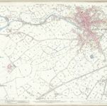
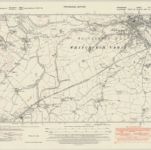
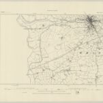
Shropshire VIII.NW - OS Six-Inch Map
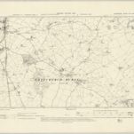

Full title:Shropshire VIII.NW - OS Six-Inch Map
Depicted:1899
Pubdate:1902
Publisher:Ordnance Survey
Physical Size:20 x 30 cm
Map scale:1:10 560
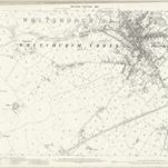
Shropshire VII.4 (includes: Whitchurch Urban) - 25 Inch Map
1937
Ordnance Survey
1:3k
Shropshire VII.4 (includes: Whitchurch Urban) - 25 Inch Map
1924
Ordnance Survey
1:3k
Shropshire VII.4 (includes: Whitchurch Urban) - 25 Inch Map
1899
Ordnance Survey
1:3k
Shropshire VII.4 (includes: Whitchurch Urban) - 25 Inch Map
1879
Ordnance Survey
1:3k
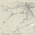
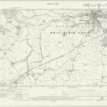
Shropshire VIII.1 (includes: Whitchurch Rural; Whitchurch Urban) - 25 Inch Map
1937
Ordnance Survey
1:3k
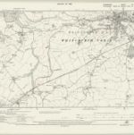
Shropshire VIII.1 (includes: Whitchurch Rural; Whitchurch Urban) - 25 Inch Map
1924
Ordnance Survey
1:3k
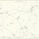
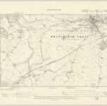
Shropshire VIII.1 (includes: Whitchurch Rural; Whitchurch Urban) - 25 Inch Map
1899
Ordnance Survey
1:3k
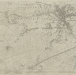
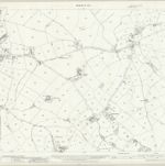
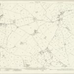
Shropshire VII.NE - OS Six-Inch Map
1937
Ordnance Survey
1:11k
Shropshire VII.NE - OS Six-Inch Map
1924
Ordnance Survey
1:11k
Shropshire VII.NE - OS Six-Inch Map
1924
Ordnance Survey
1:11k
Shropshire VII.NE - OS Six-Inch Map
1899
Ordnance Survey
1:11k
Shropshire VII.NE - OS Six-Inch Map
1879
Ordnance Survey
1:11k