Cataloged map
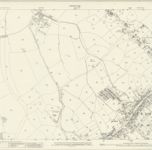
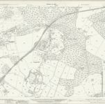
Essex nLX.NE - OS Six-Inch Map
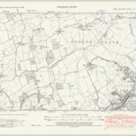

Full title:Essex nLX.NE - OS Six-Inch Map
Depicted:1938
Pubdate:1946
Publisher:Ordnance Survey
Physical Size:20 x 30 cm
Map scale:1:10 560
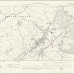
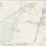
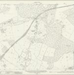
Essex L.SW - OS Six-Inch Map
1895
Ordnance Survey
1:11k
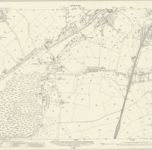
Essex (1st Ed/Rev 1862-96) L.14 (includes: Epping; Theydon Garnon) - 25 Inch Map
1895
Ordnance Survey
1:3k
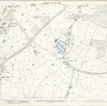
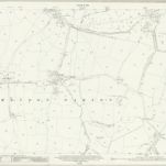
Essex (New Series 1913-) n LX.8 (includes: Epping; Epping Upland) - 25 Inch Map
1936
Ordnance Survey
1:3k
Essex (New Series 1913-) n LX.8 (includes: Epping; Epping Upland) - 25 Inch Map
1915
Ordnance Survey
1:3k
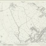
Essex (New Series 1913-) n LX.12 (includes: Epping; Epping Upland; Theydon Bois; Theydon Garnon) - 25 Inch Map
1937
Ordnance Survey
1:3k
Essex (New Series 1913-) n LX.12 (includes: Epping; Epping Upland; Theydon Bois; Theydon Garnon) - 25 Inch Map
1915
Ordnance Survey
1:3k
Essex (New Series 1913-) n LXI.9 (includes: Epping; Theydon Garnon; Theydon Mount) - 25 Inch Map
1915
Ordnance Survey
1:3k
Essex (New Series 1913-) n LXI.5 (includes: Epping; North Weald Bassett; Theydon Garnon) - 25 Inch Map
1936
Ordnance Survey
1:3k
Essex (New Series 1913-) n LXI.5 (includes: Epping; North Weald Bassett; Theydon Garnon) - 25 Inch Map
1915
Ordnance Survey
1:3k
Essex (1st Ed/Rev 1862-96) L.13 (includes: Epping; Epping Upland; Theydon Bois) - 25 Inch Map
1895
Ordnance Survey
1:3k