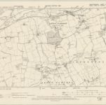
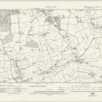
Mapa catalogado
Essex L.NW - OS Six-Inch Map
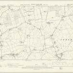

Título completo:Essex L.NW - OS Six-Inch Map
Año de ilustración:1895
Fecha de publicación:1898
Editorial:Ordnance Survey
Tamaño físico:20 x 30 cm
Escala del mapa:1:10 560
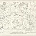
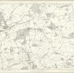
Essex XLI.SW - OS Six-Inch Map
1895
Ordnance Survey
1:11k
Essex nLI.NE - OS Six-Inch Map
1938
Ordnance Survey
1:11k
Essex nLI.NE - OS Six-Inch Map
1915
Ordnance Survey
1:11k
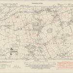
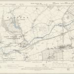
Hertfordshire XXXVII.NE - OS Six-Inch Map
1895
Ordnance Survey
1:11k
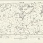
Essex XLI - OS Six-Inch Map
1873
Ordnance Survey
1:11k
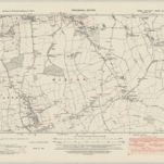
Essex XLI.NW - OS Six-Inch Map
1895
Ordnance Survey
1:11k
Essex nLII.NW - OS Six-Inch Map
1947
Ordnance Survey
1:11k
Essex nLII.NW - OS Six-Inch Map
1915
Ordnance Survey
1:11k
Essex nLII.NW - OS Six-Inch Map
1915
Ordnance Survey
1:11k

Essex (1st Ed/Rev 1862-96) XLI.5 (includes: Eastwick; Gilston; Netteswell) - 25 Inch Map
1896
Ordnance Survey
1:3k