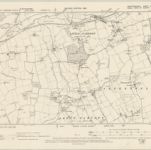
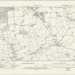
编目地图
Essex XL.NE - OS Six-Inch Map
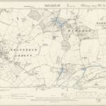

完整标题:Essex XL.NE - OS Six-Inch Map
描述:1895
发布日期:1899
出版商:Ordnance Survey
物理尺寸:20 x 30 cm
地图比例尺:1:10 560
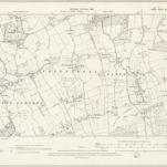
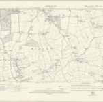
Essex XLI.SW - OS Six-Inch Map
1895
Ordnance Survey
1:11k
Essex nLI.NE - OS Six-Inch Map
1938
Ordnance Survey
1:11k
Essex nLI.NE - OS Six-Inch Map
1915
Ordnance Survey
1:11k
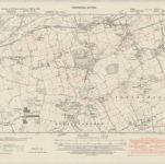
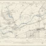
Hertfordshire XXXVII.NE - OS Six-Inch Map
1895
Ordnance Survey
1:11k
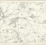
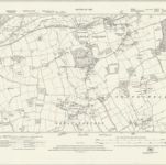
Essex XLI - OS Six-Inch Map
1873
Ordnance Survey
1:11k
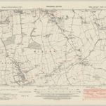
Essex XLI.NW - OS Six-Inch Map
1895
Ordnance Survey
1:11k
Essex nLII.NW - OS Six-Inch Map
1947
Ordnance Survey
1:11k
Essex nLII.NW - OS Six-Inch Map
1915
Ordnance Survey
1:11k
Essex nLII.NW - OS Six-Inch Map
1915
Ordnance Survey
1:11k

Essex (1st Ed/Rev 1862-96) XLI.5 (includes: Eastwick; Gilston; Netteswell) - 25 Inch Map
1896
Ordnance Survey
1:3k