Maps of Aylesbury Vale
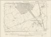
Buckinghamshire XXIX.NW - OS Six-Inch Map
1 : 10560 Topographic maps Ordnance Survey Ordnance Survey
Buckinghamshire XXIX.NW - OS Six-Inch Map
1 : 10560 Topographic maps Ordnance Survey Ordnance Survey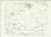
Buckinghamshire XXIX.NW - OS Six-Inch Map
1 : 10560 Topographic maps Ordnance Survey Ordnance Survey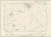
Buckinghamshire XXIX.NW - OS Six-Inch Map
1 : 10560 Topographic maps Ordnance Survey Ordnance Survey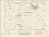
Hertfordshire XVI.SE - OS Six-Inch Map
1 : 10560 Topographic maps Ordnance Survey Ordnance Survey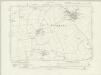
Hertfordshire XVI.SE - OS Six-Inch Map
1 : 10560 Topographic maps Ordnance Survey Ordnance Survey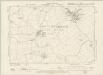
Hertfordshire XVI.SE - OS Six-Inch Map
1 : 10560 Topographic maps Ordnance Survey Ordnance Survey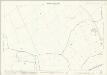
Hertfordshire XVI.16 (includes: Hulcott; Tring Rural; Wingrave with Rowsham) - 25 Inch Map
1 : 2500 Topographic maps Ordnance Survey Ordnance Survey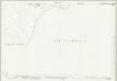
Buckinghamshire XXIX.6 (includes: Tring Rural; Wingrave with Rowsham) - 25 Inch Map
1 : 2500 Topographic maps Ordnance Survey Ordnance Survey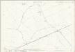
Buckinghamshire XXIX.6 (includes: Tring Rural; Wingrave with Rowsham) - 25 Inch Map
1 : 2500 Topographic maps Ordnance Survey Ordnance Survey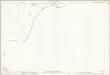
Buckinghamshire XXIX.6 (includes: Tring Rural; Wingrave with Rowsham) - 25 Inch Map
1 : 2500 Topographic maps Ordnance Survey Ordnance Survey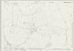
Buckinghamshire XXIX.5 (includes: Bierton with Broughton; Hulcott; Wingrave with Rowsham) - 25 Inch Map
1 : 2500 Topographic maps Ordnance Survey Ordnance Survey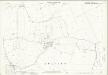
Buckinghamshire XXIX.5 (includes: Bierton with Broughton; Hulcott; Wingrave with Rowsham) - 25 Inch Map
1 : 2500 Topographic maps Ordnance Survey Ordnance Survey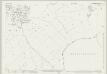
Buckinghamshire XXIX.2 (includes: Tring Rural; Wingrave with Rowsham) - 25 Inch Map
1 : 2500 Topographic maps Ordnance Survey Ordnance Survey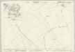
Buckinghamshire XXIX.2 (includes: Tring Rural; Wingrave with Rowsham) - 25 Inch Map
1 : 2500 Topographic maps Ordnance Survey Ordnance Survey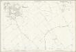
Buckinghamshire XXIX.2 (includes: Tring Rural; Wingrave with Rowsham) - 25 Inch Map
1 : 2500 Topographic maps Ordnance Survey Ordnance Survey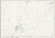
Buckinghamshire XXIX.1 (includes: Aston Abbots; Wingrave with Rowsham) - 25 Inch Map
1 : 2500 Topographic maps Ordnance Survey Ordnance Survey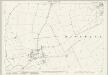
Buckinghamshire XXIX.1 (includes: Aston Abbots; Wingrave with Rowsham) - 25 Inch Map
1 : 2500 Topographic maps Ordnance Survey Ordnance Survey
Hertfordshire XVII.9 & XVI.12 (includes: Mentmore; Tring Rural; Wing; Wingrave with Rowsham) - 25 Inch Map
1 : 2500 Topographic maps Ordnance Survey Ordnance Survey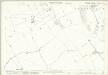
Hertfordshire XVII.9 & XVI.12 (includes: Mentmore; Tring Rural; Wing; Wingrave with Rowsham) - 25 Inch Map
1 : 2500 Topographic maps Ordnance Survey Ordnance Survey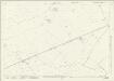
Hertfordshire XVII.13 & 14 (includes: Cheddington; Ivinghoe; Marsworth; Tring Rural; Wing; Wingrave with Rowsham) - 25 Inch Map
1 : 2500 Topographic maps Ordnance Survey Ordnance Survey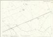
Hertfordshire XVII.13 & 14 (includes: Cheddington; Ivinghoe; Marsworth; Tring Rural; Wing; Wingrave with Rowsham) - 25 Inch Map
1 : 2500 Topographic maps Ordnance Survey Ordnance Survey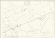
Hertfordshire XVII.13 (includes: Cheddington; Marsworth; Tring Rural; Wing; Wingrave with Rowsham) - 25 Inch Map
1 : 2500 Topographic maps Ordnance Survey Ordnance Survey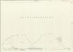
Hertfordshire XVII.9 & XVI.12 (includes: Mentmore; Tring Rural; Wing; Wingrave with Rowsham) - 25 Inch Map
1 : 2500 Topographic maps Ordnance Survey Ordnance Survey
Hertfordshire XVII.9 & XVI.12 (includes: Mentmore; Tring Rural; Wing; Wingrave with Rowsham) - 25 Inch Map
1 : 2500 Topographic maps Ordnance Survey Ordnance Survey
Buckinghamshire XXIX - OS Six-Inch Map
1 : 10560 Topographic maps Ordnance Survey Ordnance Survey
SP81 - OS 1:25,000 Provisional Series Map
1 : 25000 Topographic maps Ordnance Survey Ordnance Survey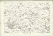
Hertfordshire XXIV (inset XVI) - OS Six-Inch Map
1 : 10560 Topographic maps Ordnance Survey Ordnance Survey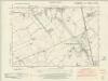
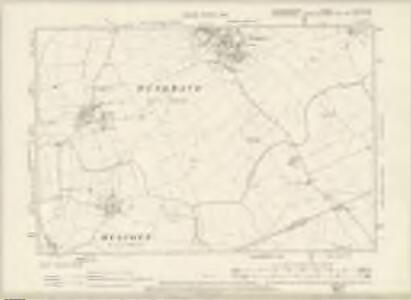
Hertfordshire XVII.SW - OS Six-Inch Map
1 : 10560 Topographic maps Ordnance Survey Ordnance Survey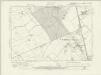
Hertfordshire XVII.SW - OS Six-Inch Map
1 : 10560 Topographic maps Ordnance Survey Ordnance Survey