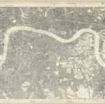
Cataloged map
Surrey III.SE - OS Six-Inch Map
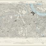

Full title:Surrey III.SE - OS Six-Inch Map
Depicted:1893
Pubdate:1898
Publisher:Ordnance Survey
Physical Size:20 x 30 cm
Map scale:1:10 560
An exact survey of the city's of London Westminster , VII
1761
John Rocque
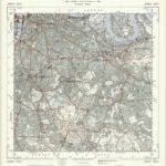
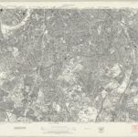
TQ37 - OS 1:25,000 Provisional Series Map
1938
Ordnance Survey
1:25k
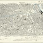
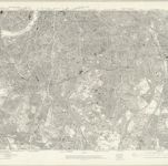
London XI.SE - OS Six-Inch Map
1893
Ordnance Survey
1:11k
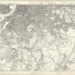
London XI.NE - OS Six-Inch Map
1893
Ordnance Survey
1:11k
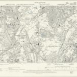
London Sheet O - OS Six-Inch Map
1938
Ordnance Survey
1:11k
London Sheet O - OS Six-Inch Map
1913
Ordnance Survey
1:11k
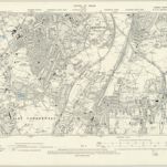
Middlesex XXII - OS Six-Inch Map
1868
Ordnance Survey
1:11k
Kent VII.NW - OS Six-Inch Map
1893
Ordnance Survey
1:11k
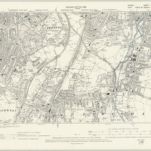
Surrey III - OS Six-Inch Map
1868
Ordnance Survey
1:11k
Surrey VIII.NE - OS Six-Inch Map
1893
Ordnance Survey
1:11k