Mappa catalogata
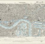
Surrey III.NE - OS Six-Inch Map

Titolo completo:Surrey III.NE - OS Six-Inch Map
Anno di illustrazione:1893
Data di pubblicazione:1898
Editore:Ordnance Survey
Dimensione fisica:20 x 30 cm
Scala della mappa:1:10 560
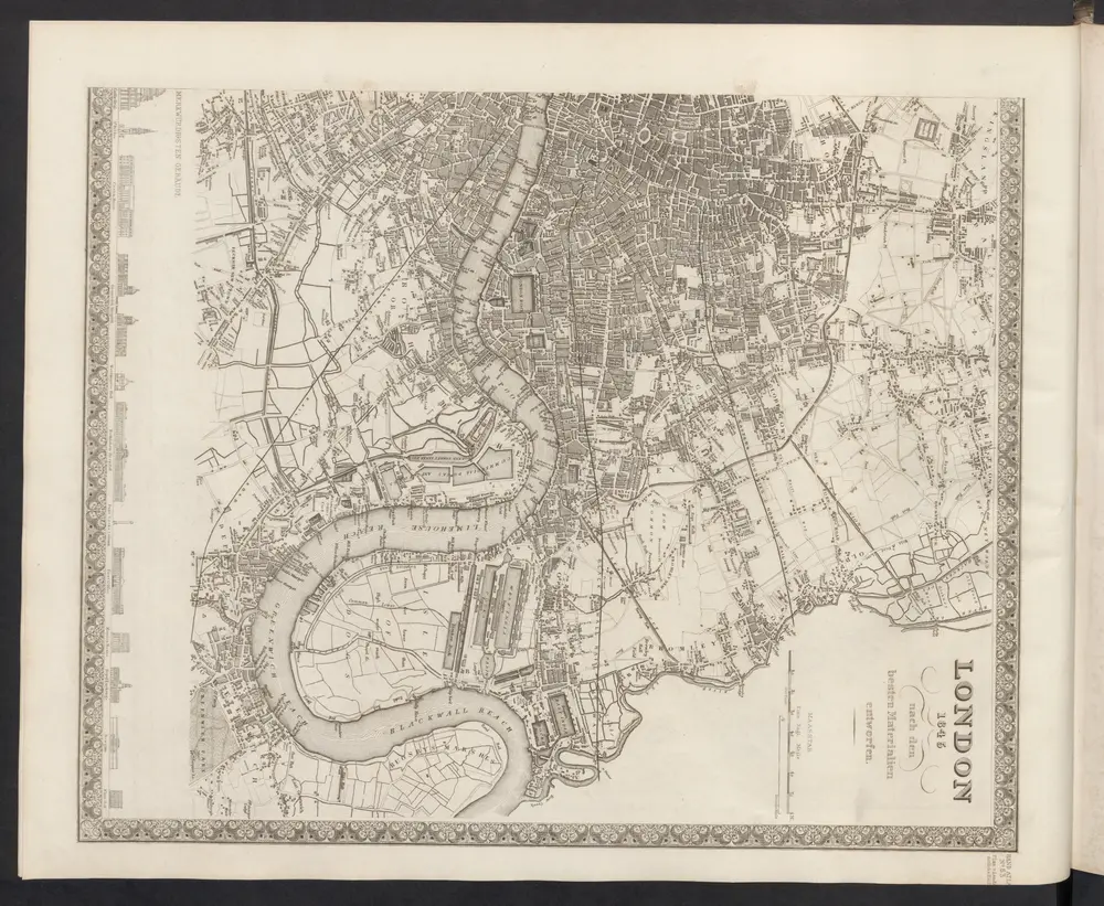
London
1860
Meyer, J.
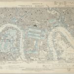
Kent I.NE - OS Six-Inch Map
1893
Ordnance Survey
1:11k
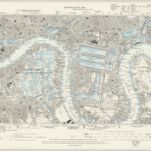
Essex LXXXI.NW - OS Six-Inch Map
1893
Ordnance Survey
1:11k
Essex LXXIII.SW - OS Six-Inch Map
1893
Ordnance Survey
1:11k
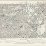
Surrey III.NE - OS Six-Inch Map
1893
Ordnance Survey
1:11k
Vrbium Londini et West-Monasterii nec non suburbii Southwark accurata ichnographia, 3
1818
Homännische Erben
Post office plan of London
1843
Wyld, James, 1812-1887
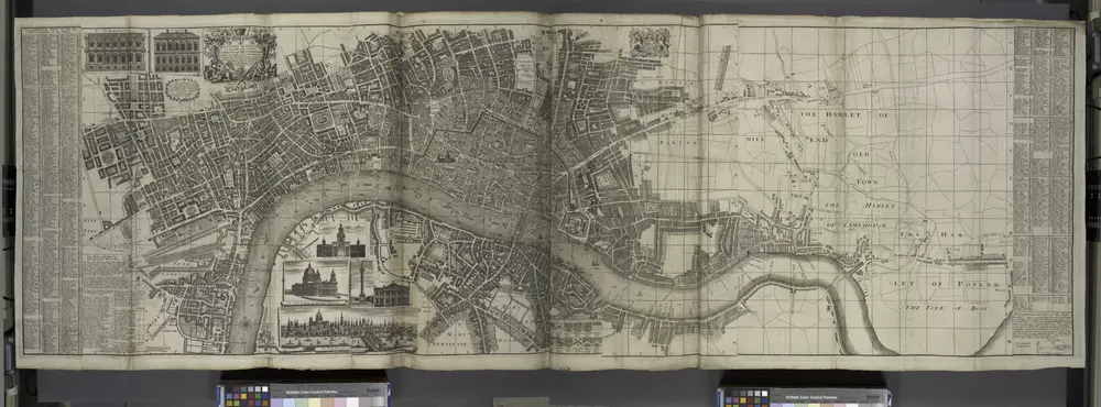
London surveyed or a new map of the cities of London and Westminster and the borough of Southwark. ...
1736
London VII.SE - OS Six-Inch Map
1893
Ordnance Survey
1:11k
Reynolds's map of London : with the latest improvements
1851
Martin, Henry, fl. 1830-1852
1:16k