Maps of Loxwood
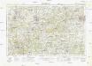
Sussex XII.NE - OS Six-Inch Map
1 : 10560 Topographic maps Ordnance Survey Ordnance Survey
Sussex XII.NE - OS Six-Inch Map
1 : 10560 Topographic maps Ordnance Survey Ordnance Survey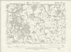
Sussex XII.NE - OS Six-Inch Map
1 : 10560 Topographic maps Ordnance Survey Ordnance Survey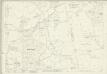
Sussex XII.3 (includes: Alfold; Cranleigh; Loxwood; Rudgwick) - 25 Inch Map
1 : 2500 Topographic maps Ordnance Survey Ordnance Survey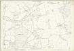
Sussex XII.3 (includes: Alfold; Cranleigh; Loxwood; Rudgwick) - 25 Inch Map
1 : 2500 Topographic maps Ordnance Survey Ordnance Survey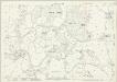
Sussex XII.7 (includes: Loxwood; Rudgwick) - 25 Inch Map
1 : 2500 Topographic maps Ordnance Survey Ordnance Survey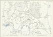
Sussex XII.7 (includes: Loxwood; Rudgwick) - 25 Inch Map
1 : 2500 Topographic maps Ordnance Survey Ordnance Survey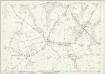
Sussex XII.4 (includes: Rudgwick) - 25 Inch Map
1 : 2500 Topographic maps Ordnance Survey Ordnance Survey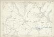
Sussex XII.4 (includes: Rudgwick) - 25 Inch Map
1 : 2500 Topographic maps Ordnance Survey Ordnance Survey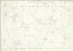
Sussex XII.8 (includes: Rudgwick) - 25 Inch Map
1 : 2500 Topographic maps Ordnance Survey Ordnance Survey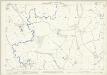
Sussex XII.8 (includes: Rudgwick) - 25 Inch Map
1 : 2500 Topographic maps Ordnance Survey Ordnance Survey
Surrey XLVI.10 (includes: Alfold; Loxwood) - 25 Inch Map
1 : 2500 Topographic maps Ordnance Survey Ordnance Survey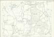
Surrey XLVI.10 (includes: Alfold; Loxwood) - 25 Inch Map
1 : 2500 Topographic maps Ordnance Survey Ordnance Survey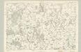
Surrey XLVI - OS Six-Inch Map
1 : 10560 Topographic maps Ordnance Survey Ordnance Survey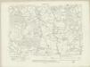
Surrey XLVI.SW - OS Six-Inch Map
1 : 10560 Topographic maps Ordnance Survey Ordnance Survey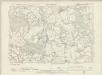
Surrey XLVI.SW - OS Six-Inch Map
1 : 10560 Topographic maps Ordnance Survey Ordnance Survey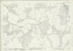
Surrey XLVI.7 (includes: Cranleigh; Rudgwick) - 25 Inch Map
1 : 2500 Topographic maps Ordnance Survey Ordnance Survey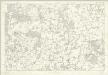
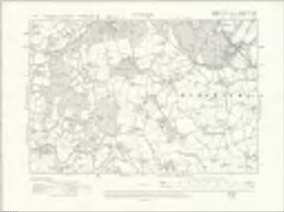
Sussex XII - OS Six-Inch Map
1 : 10560 Topographic maps Ordnance Survey Ordnance Survey
TQ03 - OS 1:25,000 Provisional Series Map
1 : 25000 Topographic maps Ordnance Survey Ordnance Survey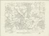
Surrey XLVI.NE - OS Six-Inch Map
1 : 10560 Topographic maps Ordnance Survey Ordnance Survey
Surrey XLVI.NE - OS Six-Inch Map
1 : 10560 Topographic maps Ordnance Survey Ordnance Survey
Surrey XLVI.6 (includes: Alfold; Cranleigh) - 25 Inch Map
1 : 2500 Topographic maps Ordnance Survey Ordnance Survey
Surrey XLVI.6 (includes: Alfold; Cranleigh) - 25 Inch Map
1 : 2500 Topographic maps Ordnance Survey Ordnance Survey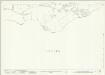
Surrey XLVI.8 (includes: Ewhurst; Rudgwick) - 25 Inch Map
1 : 2500 Topographic maps Ordnance Survey Ordnance Survey
Haslemere (Outline) - OS One-Inch Revised New Series
1 : 63360 Topographic maps Ordnance Survey Ordnance Survey
Haslemere (Hills) - OS One-Inch Revised New Series
1 : 63360 Topographic maps Ordnance Survey Ordnance Survey
West Grinstead
1 : 31680 The ochre-coloured Roman road, Stane Street, runs from Pulborough at the bottom left of the map to Rudgwick at the top right. Windmills proliferate throughout the area and are represented in elevation. The physical condition of the plan is poor and place names are difficult to read because the manuscript is dirty, worn and ripped. Budgen, Thomas
Cranleigh
1 : 31680 Turnpike roads, shown in faded yellow ochre, run from Guildford at the top of the map to Witley in the centre left and "Aldfold" in the bottom left. Black-ink figures record the mileage along these routes. Tollgates are marked "TG". A dotted symbol depicts the untilled agricultural land that dominate the landscape around the valley of the River Wye, from Guildford to Godalming. The stippling technique commonly used to depict rough pasture is used here for the many heaths and commons of the undulating Surrey lowlands. Budgen, Thomas
Guildford
1 : 63360 Ordnance Survey Office
Guildford
1 : 63360 Ordnance Survey Office