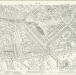
Cataloged map
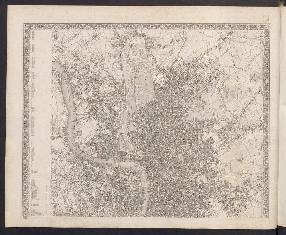
London VII.92 - OS London Town Plan
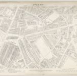

Full title:London VII.92 - OS London Town Plan
Depicted:1894
Pubdate:1895
Publisher:Ordnance Survey
Physical Size:20 x 30 cm
Map scale:1:1 056
A new and exact plan of the city of London and suburbs thereof, 1
1724
Henry Overton
London
1860
Meyer, J.
The London directory, or a new & improved plan of London, Westminster, & Southwark, with the adjacent country, the new buildings, the new roads, and the late alterations by opening of new streets, & widening of others
1795
1:16k
A plan of London, Westminster, and Southwark
1807
1:27k
Vrbium Londini et West-Monasterii nec non suburbii Southwark accurata ichnographia, 1
1818
Homännische Erben
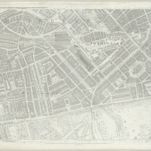
London VI.SE - OS Six-Inch Map
1893
Ordnance Survey
1:11k
A plan of the palace gardens and town of Kensington
1765
Rocque; Deharme
London VII.SW - OS Six-Inch Map
1893
Ordnance Survey
1:11k
Illustrated map of London, or, Stranger's guide to the public buildings, theatres, music halls, & and all places of interest
1877
Bartlett, G. Warren
London (1915- Numbered sheets) IV.12 (includes: City Of Westminster; Paddington; St Marylebone) - 25 Inch Map
1914
Ordnance Survey
1:3k
London (First Editions c1850s) XXXIII (includes: City Of Westminster; Paddington; St Marylebone) - 25 Inch Map
1865
Ordnance Survey
1:3k