Mapa catalogado
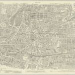
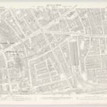
London VII.76 - OS London Town Plan

Título completo:London VII.76 - OS London Town Plan
Año de ilustración:1893
Fecha de publicación:1896
Editorial:Ordnance Survey
Tamaño físico:20 x 30 cm
Escala del mapa:1:1 056
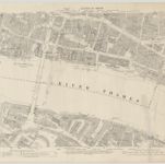
London (1915- Numbered sheets) V.11 (includes: Bethnal Green; London; Shoreditch; Stepney) - 25 Inch Map
1914
Ordnance Survey
1:3k
Englands glory, or, the glory of England being a new mapp of the city of London : shewing the remarkable streets, lanes, alleyes, churches, halls courts, and other places as they are now rebuilt, the which will therefore be a guide to strangers, and such as are not well acquainted herein to direct them from place to place : diverse faults y[t] are in y[e] former are in this amended, allsoe the severall figures y[t] stand up and downe in the mapp are explained in y[e] 2 tables at y[e] upper corners hereof.
1676
Walton, Robert, 1618-1688
Vrbium Londini et West-Monasterii nec non suburbii Southwark accurata ichnographia, 2
1818
Homännische Erben
A new and exact plan of the city of London and suburbs thereof, 2
1724
Henry Overton
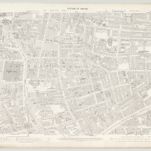
London VII.56 - OS London Town Plan
1894
Ordnance Survey
1:1k
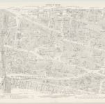
London VII.66 - OS London Town Plan
1894
Ordnance Survey
1:1k
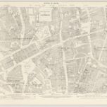
London VII.67 - OS London Town Plan
1894
Ordnance Survey
1:1k
London VII.57 - OS London Town Plan
1894
Ordnance Survey
1:1k
London VII.65 - OS London Town Plan
1894
Ordnance Survey
1:1k
London VII.55 - OS London Town Plan
1894
Ordnance Survey
1:1k