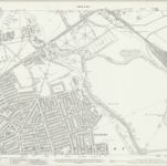
Cataloged map
London VII.58 - OS London Town Plan
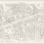

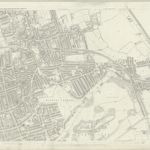
Full title:London VII.58 - OS London Town Plan
Depicted:1894
Pubdate:1896
Publisher:Ordnance Survey
Physical Size:20 x 30 cm
Map scale:1:1 056
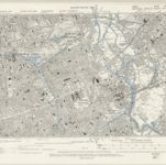
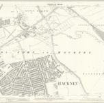
London VII.NE - OS Six-Inch Map
1893
Ordnance Survey
1:11k

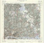
Essex LXXIII.NW - OS Six-Inch Map
1893
Ordnance Survey
1:11k
Essex LXXIII.SW - OS Six-Inch Map
1893
Ordnance Survey
1:11k
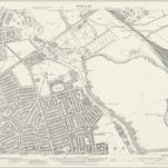
TQ38 - OS 1:25,000 Provisional Series Map
1938
Ordnance Survey
1:25k
Essex (New Series 1913-) n LXXVII.16 (includes: Hackney; Leyton) - 25 Inch Map
1937
Ordnance Survey
1:3k
Essex (New Series 1913-) n LXXVII.16 (includes: Hackney; Leyton) - 25 Inch Map
1913
Ordnance Survey
1:3k
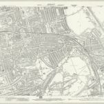
London (Edition of 1894-96) XXXI (includes: Hackney; Leyton) - 25 Inch Map
1894
Ordnance Survey
1:3k
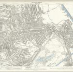
London (1915- Numbered sheets) V.4 (includes: Bethnal Green; Hackney; Poplar Borough) - 25 Inch Map
1913
Ordnance Survey
1:3k
London (Edition of 1894-96) XLI (includes: Bethnal Green; Hackney; Poplar Borough) - 25 Inch Map
1893
Ordnance Survey
1:3k
London (First Editions c1850s) XIX (includes: Bethnal Green; Hackney; Poplar Borough) - 25 Inch Map
1871
Ordnance Survey
1:3k