Carte cataloguée
London III.53 - OS London Town Plan
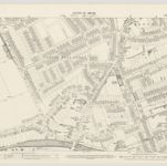

Titre complet:London III.53 - OS London Town Plan
Année de l'image:1893
Date de publication:1895
Éditeur:Ordnance Survey
Taille physique:20 x 30 cm
Échelle de la carte:1:1 056
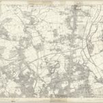
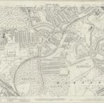
Essex nLXXVII - OS Six-Inch Map
1938
Ordnance Survey
1:11k

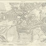
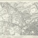
London Sheet G - OS Six-Inch Map
1912
Ordnance Survey
1:11k
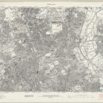
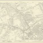
Middlesex XII - OS Six-Inch Map
1863
Ordnance Survey
1:11k
An exact survey of the city's of London Westminster , V
1761
John Rocque
Middlesex XII.5 (includes: Hornsey St Mary) - 25 Inch Map
1936
Ordnance Survey
1:3k
Middlesex XII.5 (includes: Hornsey St Mary) - 25 Inch Map
1911
Ordnance Survey
1:3k
London (1915- Numbered sheets) II.9 (includes: Hornsey St Mary; Islington; St Pancras) - 25 Inch Map
1936
Ordnance Survey
1:3k
London (1915- Numbered sheets) II.9 (includes: Hornsey St Mary; Islington; St Pancras) - 25 Inch Map
1913
Ordnance Survey
1:3k
London (Edition of 1894-96) XIX (includes: Hornsey St Mary; Islington; St Pancras) - 25 Inch Map
1894
Ordnance Survey
1:3k

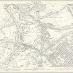
London (First Editions c1850s) III (includes: Hornsey St Mary; Islington; St Pancras) - 25 Inch Map
1863
Ordnance Survey
1:3k