Mappa catalogata
Liverpool (Outline) - OS One-Inch Revised New Series

Titolo completo:Liverpool (Outline) - OS One-Inch Revised New Series
Anno di illustrazione:1895
Dimensione fisica:20 x 30 cm
Scala della mappa:1:63 360
City of Liverpool : area 14,909 acres (exclusive of half of River Mersey)
1900
George Philip & Son
1:15k
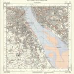
SJ39 - OS 1:25,000 Provisional Series Map
1938
Ordnance Survey
1:25k
Map of the borough of Liverpool : with Parliamentary boundaries, ecclesiastical divisions and a part of the Cheshire coast
1854
Hilliar, H
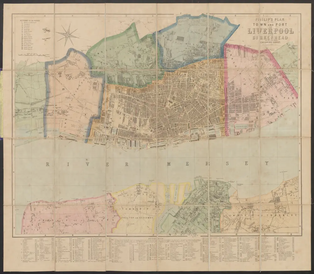
Philip's plan of the town and port of Liverpool with Birkenhead and the adjoining Cheshire coast
1884
Bartholomew, John
1:16k
Lancashire CVI - OS Six-Inch Map
1845
Ordnance Survey
1:11k
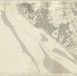
Lancashire CXIII - OS Six-Inch Map
1846
Ordnance Survey
1:11k
Bacon's plan of Liverpool : divided into 1/4 mile squares
1900
G.W. Bacon & Co
1:11k
SJ38 - OS 1:25,000 Provisional Series Map
1938
Ordnance Survey
1:25k
Plan of the Mersey docks and harbour estate with part of the city of Liverpool
1889
s.n.
1:11k

Cheshire XIV - OS Six-Inch Map
1872
Ordnance Survey
1:11k