Cataloged map
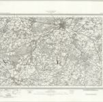
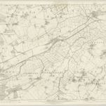
Faversham (Hills) - OS One-Inch Revised New Series
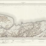

Full title:Faversham (Hills) - OS One-Inch Revised New Series
Depicted:1893
Physical Size:20 x 30 cm
Map scale:1:63 360
A topographical-map, of the county of Kent, 14
1769
A. Dury, W. Herbert
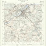
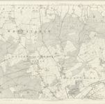
TR15 - OS 1:25,000 Provisional Series Map
1938
Ordnance Survey
1:25k
TR16 - OS 1:25,000 Provisional Series Map
1938
Ordnance Survey
1:25k
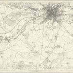
Canterbury (Hills) - OS One-Inch Revised New Series
1893
Ordnance Survey
1:63k
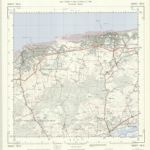
Canterbury (Outline) - OS One-Inch Revised New Series
1893
Ordnance Survey
1:63k
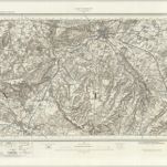
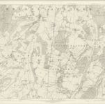
Kent XXXV - OS Six-Inch Map
1872
Ordnance Survey
1:11k
Kent XLVI - OS Six-Inch Map
1872
Ordnance Survey
1:11k
Kent LVI - OS Six-Inch Map
1872
Ordnance Survey
1:11k

Kent XLVII - OS Six-Inch Map
1872
Ordnance Survey
1:11k
Kent XXXVI - OS Six-Inch Map
1872
Ordnance Survey
1:11k