Gecatalogiseerde kaart
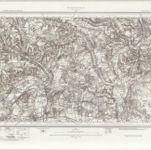
Aylesbury (Hills) - OS One-Inch Revised New Series

Volledige titel:Aylesbury (Hills) - OS One-Inch Revised New Series
Jaar illustratie:1893
Fysieke grootte:20 x 30 cm
Schaal kaart:1:63 360
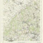
The Chilterns - OS One-Inch Map
1960
Ordnance Survey
1:63k
An accurate map of Buckingham Shire
1756
Bowen; Tinney; Bowles; Sayer; Bowles; Bowles
Buckingamiæ comitatvs cum Bedfordiensi; vulgo Buckingamshire and Bedfordshire
1690
Valck; Schenk
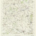
Buckingham - OS One-Inch Map
1960
Ordnance Survey
1:63k
n/a
1742
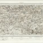
Beaconsfield (Outline) - OS One-Inch Revised New Series
1893
Ordnance Survey
1:63k
Beaconsfield (Hills) - OS One-Inch Revised New Series
1893
Ordnance Survey
1:63k
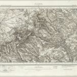
Aylesbury (Hills) - OS One-Inch Revised New Series
1893
Ordnance Survey
1:63k
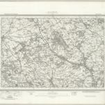
Aylesbury (Outline) - OS One-Inch Revised New Series
1893
Ordnance Survey
1:63k
Buckingham (Hills) - OS One-Inch Revised New Series
1902
Ordnance Survey
1:63k
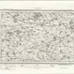
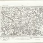
Buckingham (Outline) - OS One-Inch Revised New Series
1893
Ordnance Survey
1:63k