Maps of Tyne and Wear

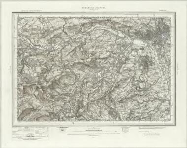
Newcastle upon Tyne (Hills) - OS One-Inch Revised New Series
1 : 63360 Topographic maps Ordnance Survey Ordnance Survey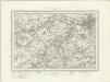
Newcastle upon Tyne (Outline) - OS One-Inch Revised New Series
1 : 63360 Topographic maps Ordnance Survey Ordnance Survey
NZ15 - OS 1:25,000 Provisional Series Map
1 : 25000 Topographic maps Ordnance Survey Ordnance Survey
NZ05 - OS 1:25,000 Provisional Series Map
1 : 25000 Topographic maps Ordnance Survey Ordnance Survey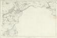
Northumberland XCVI - OS Six-Inch Map
1 : 10560 Topographic maps Ordnance Survey Ordnance Survey
Northumberland CV (insert CIXa) - OS Six-Inch Map
1 : 10560 Topographic maps Ordnance Survey Ordnance Survey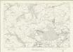
Durham V - OS Six-Inch Map
1 : 10560 Topographic maps Ordnance Survey Ordnance Survey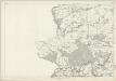
Durham V - OS Six-Inch Map
1 : 10560 Topographic maps Ordnance Survey Ordnance Survey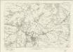
Durham XI - OS Six-Inch Map
1 : 10560 Topographic maps Ordnance Survey Ordnance Survey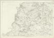
Durham XI - OS Six-Inch Map
1 : 10560 Topographic maps Ordnance Survey Ordnance Survey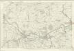
Northumberland XCV - OS Six-Inch Map
1 : 10560 Topographic maps Ordnance Survey Ordnance Survey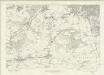
Durham VI - OS Six-Inch Map
1 : 10560 Topographic maps Ordnance Survey Ordnance Survey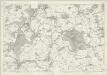
Durham VI - OS Six-Inch Map
1 : 10560 Topographic maps Ordnance Survey Ordnance Survey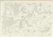
Northumberland CIV - OS Six-Inch Map
1 : 10560 Topographic maps Ordnance Survey Ordnance Survey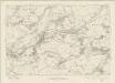
Durham XII - OS Six-Inch Map
1 : 10560 Topographic maps Ordnance Survey Ordnance Survey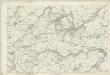
Durham XII - OS Six-Inch Map
1 : 10560 Topographic maps Ordnance Survey Ordnance Survey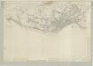
Northumberland XCVII - OS Six-Inch Map
1 : 10560 Topographic maps Ordnance Survey Ordnance Survey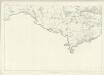
Northumberland CIX - OS Six-Inch Map
1 : 10560 Topographic maps Ordnance Survey Ordnance Survey
Durham X - OS Six-Inch Map
1 : 10560 Topographic maps Ordnance Survey Ordnance Survey
Durham X - OS Six-Inch Map
1 : 10560 Topographic maps Ordnance Survey Ordnance Survey
Northumberland nCI - OS Six-Inch Map
1 : 10560 Topographic maps Ordnance Survey Ordnance Survey
NZ25 - OS 1:25,000 Provisional Series Map
1 : 25000 Topographic maps Ordnance Survey Ordnance Survey
NZ16 - OS 1:25,000 Provisional Series Map
1 : 25000 Topographic maps Ordnance Survey Ordnance Survey
NZ06 - OS 1:25,000 Provisional Series Map
1 : 25000 Topographic maps Ordnance Survey Ordnance Survey
Durham I - OS Six-Inch Map
1 : 10560 Topographic maps Ordnance Survey Ordnance Survey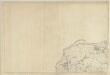
Durham I - OS Six-Inch Map
1 : 10560 Topographic maps Ordnance Survey Ordnance Survey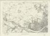
Durham II - OS Six-Inch Map
1 : 10560 Topographic maps Ordnance Survey Ordnance Survey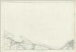
Durham II - OS Six-Inch Map
1 : 10560 Topographic maps Ordnance Survey Ordnance Survey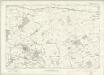
Northumberland nXCII - OS Six-Inch Map
1 : 10560 Topographic maps Ordnance Survey Ordnance Survey