Cataloged map
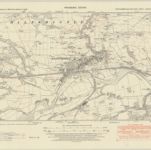
Hexham (Hills) - OS One-Inch Revised New Series


Full title:Hexham (Hills) - OS One-Inch Revised New Series
Depicted:1895
Physical Size:20 x 30 cm
Map scale:1:63 360
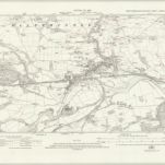
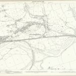
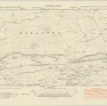
Northumberland nLXXXIX.SW - OS Six-Inch Map
1946
Ordnance Survey
1:11k
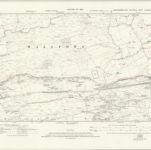
Northumberland nLXXXIX.SW - OS Six-Inch Map
1920
Ordnance Survey
1:11k
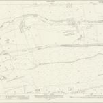
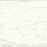
Northumberland (New Series) LXXXIX.5 (includes: Haltwhistle; Wall Town) - 25 Inch Map
1920
Ordnance Survey
1:3k
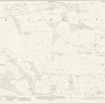
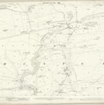
Northumberland (New Series) LXXXIX.9 (includes: Blenkinsopp; Haltwhistle) - 25 Inch Map
1920
Ordnance Survey
1:3k
Northumberland (Old Series) XCI.4 (includes: Blenkinsopp; Haltwhistle; Wall Town) - 25 Inch Map
1895
Ordnance Survey
1:3k
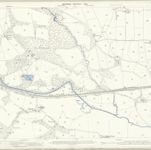
Northumberland (Old Series) XCII.1 (includes: Haltwhistle; Melkridge; Wall Town) - 25 Inch Map
1895
Ordnance Survey
1:3k
Northumberland (Old Series) XCII.5 (includes: Bellister; Haltwhistle; Melkridge; Plenmeller) - 25 Inch Map
1895
Ordnance Survey
1:3k
Northumberland (Old Series) XCI.8 (includes: Bellister; Blenkinsopp; Featherstone; Haltwhistle) - 25 Inch Map
1895
Ordnance Survey
1:3k
Northumberland nLXXXIX.NW - OS Six-Inch Map
1946
Ordnance Survey
1:11k
Northumberland nLXXXIX.NW - OS Six-Inch Map
1920
Ordnance Survey
1:11k