Maps of Greater Poland Voivodeship

L'Empire, d'Allemagne
1 : 1200000 Mollova mapová sbírka Sanson, Nicolas Quasy, Robert
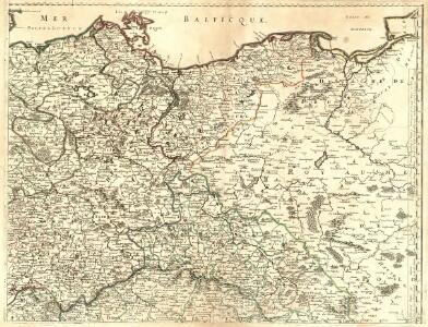
Le Cours de l'Elbe et de l'Oder où sont les Electorats de Saxe et de Brandebourg, les Duchés de Mekelbourg et de Pomeranie
1 : 1400000 Mollova mapová sbírka Duval, Pierre Duval, Pierre
Prussia.
1 : 3400000 Finley, Anthony
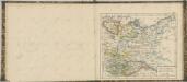
The N. E. Part of Germany
1 : 3400000 Mollova mapová sbírka Moll, Herman Moll, Hermann
Prussia.
1 : 2650000 Hughes, William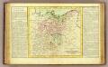
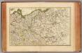
Haute Saxe.
1 : 1900000 Clouet, J. B. L. (Jean-Baptiste Louis), b. 1730
Operations Karte im Jahr 1759 ...
L'Alemagne 2.
1 : 1800000 Rizzi Zannoni, Giovanni Antonio Bartolomeo, 1736-1814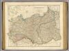
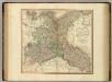
Prussia, Poland.
1 : 1570000 Arrowsmith, John
[Nordöstliches Deutschland]
Schul-Atlas über alle Theile der Erde nach dem neuesten Zustande, und über das Weltgebäude Stieler, Adolf bei Justus Perthes
Die Königl. Preussischen Provinzen Brandenburg Pommern Sachsen und Schlesien nebst Mecklenburg
Mitteleuropa
NE pt. of Germany.
1 : 3150000 Bowen, Emanuel
NO Deutschland.
1 : 5500000 Brudin, J. L.; Stieler, Adolf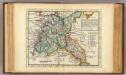
The N.E. part of Germany.
1 : 3500000 Moll, Herman, d. 1732
Nordöstliches Deutschland
Preußen
Upper Saxony.
1 : 2900000 Bowen, Frances
Preussen, Polen.
1 : 3000000 Haller von Hallerstein, Friedrich; Reichard, C. G.
Oder
Oder, Flusslauf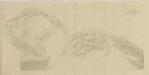
Postup při tisku příruční mapy školní ČSR
Upper Saxony, Silesia, Lusatia.
1 : 1340000 Cary, John, ca. 1754-1835
Karte von Deutschland in IV Blättern
1 : 825000 Nordost-Blatt Sotzmann, Daniel Friedrich im Verlage der A. G. Schneider und Weigels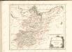

Mitteldeutschland
Volksschul-Atlas über alle Teile der Erde Lange, Henry Druck und Verlag von Georg Westermann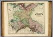
Upper Saxony.
1 : 1500000 Lizars, Daniel
[Nordöstl. Deutschland und Polen]
[Allgemeiner Atlas über alle Theile der Erde in 29 Blättern] Ziegler, Jakob Melchior Top. Anstalt v. J. Wurster u. Comp.
[Nordoestliches Deutschland]
Stieler's Hand-Atlas Stieler, Adolf bei Justus Perthes
Nord-östliches Deutschland
1 : 1850000 Braniborsko (Německo) Ausfeld, Johann Carl Justus Perthes
Europe Centrale (Partie Centrale).
1 : 1750000 Jouvet et Cie.