Maps of Hungary

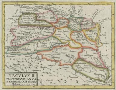
Circvlvs II Transdanvbianvs in Comitatus XIII divisus
1 : 2600000 Mollova mapová sbírka Tomka Szászky, János
Regnum Hungariae in Omnes suos Comitatus
1 : 1100000 Mollova mapová sbírka Visscher, Nicolaes Jansz. Visscher, Nicolaus
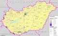
Řeky a železnice
Maďarsko Břečka, J.
Hvngariae regnum
1 : 1200000 Maďarsko
Mappa Generalis in Qua Danubii Fl. Caetium Montem inter et Bulgariae Flumen Jantram, Intercepti Tractus Integer In Subsequentibus XVIII. Secrionibus Divisim Specialissimè Exhibendus Repraesentatur. Notandum Sectionibus illis Lineolas per Transversum Secantes Danubium Iisque Interpositos Numeros Respondere
1 : 100000 Mollova mapová sbírka Marsili, Luigi Ferdinando
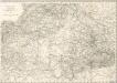
Oesterreichisch-Ungarische Monarchie

Circvlvs I Cisdanvbianvs : in Comitatus XIV divisus
1 : 2600000 Mollova mapová sbírka Tomka Szászky, János
Hungary. Pergamon World Atlas.
1 : 1500000 Polish Army Topography Service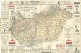
A Királyi Magyar Automobil Club utjelentése

Sheet VIII: Karte Des Oesterreichischen Kaiserstaates.
1 : 576000 Scheda, Josef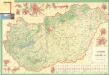
Automapa Maďarska
Uebersichtskarte von Ungarn und Siebenbürgen

Magyarország egyházi beosztása 1891
1 : 4450000 Maďarsko Homolka, Josef Eggenberger féle könyvkeresk. (Hofmann és Molnár)
Magyarország megyei-és törvénykezési beosztása 1891
1 : 4450000 Maďarsko Homolka, Josef Eggenberger féle könyvkeresk. (Hofmann és Molnár)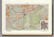
92. Hungary. The World Atlas.
1 : 1250000 USSR (Union of Soviet Socialist Republics).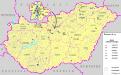
Verwaltungsorgane der sonstigen Minderheiten Ungarns (2004)
Ungarn Minderheiten, Selbstverwaltung Bottlik, Zsolt
Deutsche in Ungarn 1990
Ungarn, Deutsche Bottlik, Zsolt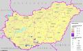
A horvátok száma és aránya Magyarország mai területén 1910-ben
Ungarn Kroaten Bottlik, Zsolt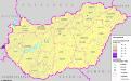
A szlovén száma és aránya Magyarország területén (2001) és kisebbségi önkormányzataik (2004)
Ungarn Slowenen, Selbstverwaltung Bottlik, Zsolt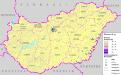
Rumänen in Ungarn (2001) und ihre Selbstverwaltung (2004)
Ungarn Rumänen, Selbstverwaltung Bottlik, Zsolt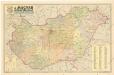
A Magyar népköztársaság kozigazgatási térképe

Rumänen in Ungarn 1990
Ungarn Rumänen Bottlik, Zsolt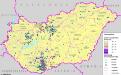
A németek száma és aránya Magyarország területén (2001) és kisebbségi önkormányzataik (2004)
Ungarn Deutsche, Selbstverwaltung Bottlik, Zsolt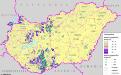
A németek száma és aránya Magyarország mai területén 1910-ben
Ungarn Deutsche Bottlik, Zsolt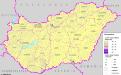
A szerbek száma és aránya Magyarország mai területén 1910-ben
Ungarn Serben Bottlik, Zsolt
A németek száma és aránya Magyarország területén 1990-ben
Ungarn, Deutsche Bottlik, Zsolt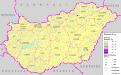
Slowaken in Ungarn 1990
Ungarn Slowaken Bottlik, Zsolt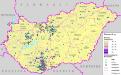
Deutsche in Ungarn (2001) und ihre Selbstverwaltung (2004)
Ungarn Deutsche, Selbstverwaltung Bottlik, Zsolt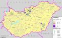
A szlovákok száma és aránya Magyarország területén (2001) és kisebbségi önkormányzataik (2004)
Ungarn Slowaken, Selbstverwaltung Bottlik, Zsolt