Maps of Carinthia

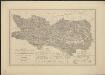
Ducatus Carithiae
1 : 645000 Mollova mapová sbírka Weigel, Christoph Weigel, Christoph
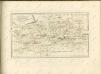
Ducatus Stiriae et Carintiae Carniolae Cilleiae q; Comitatus, Nova Tabula que et Paris est Meridionalior Circuli Austriaci
1 : 910000 Mollova mapová sbírka Ottens, Reinier Ottens, Josua
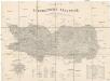
Carintia
Mollova mapová sbírka Hoffmann, Johannes Hoffmann, Johann
Nova et accurata Carinthiae Ducatus Tabula geographica
1 : 355000 Mollova mapová sbírka Homann, Johann Baptist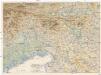
Oestl. Dolomiten, Karnische- u. Julische Alpen, Görz, Küstenland, Friaul und oberitalienische Venezianische Ebene
1 : 250000 Benátky-oblast (Itálie) geographischen Anstalt von L. Ravenstein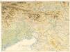
Ravensteins Kriegskarte Nr. 17: Oestl. Dolomiten, Karnische -u. Julische Alpen...
Die Land- und Wasser Communicationen des Herzogthumes Kärnten
1 : 288000 hrsg. von der K.K Direction der administrativen Statistik Wien : K.K Direction der administrativen Statistik
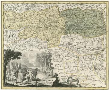
Ducatus Carinthiae tabula
1 : 740000 Korutansko (Rakousko) Granelli, Carlo Engelbrecht, Christian Pfeffel et Engelbrecht
General-Karte von Kärnten
1 : 300000 Klagenfurt (Rakousko) R. Lechner
General-Karte von Kärnten
1 : 300000 Klagenfurt (Rakousko) R. Lechner
Přehledná mapa slovinských zemí s Přímořím
1 : 750000 Chorvatsko Machát, František

Carinthiae Dvcatvs, Et Goritiae Palatinatvs
1 : 460000 Mollova mapová sbírka Lazius, Wolfgang

Fori Ivlii Vvlgo Frivli Typvs
1 : 800000 Mollova mapová sbírka Ortelius, Abraham Ortelius, Abraham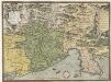
Fori Ivlii Accvrata Descriptio
1 : 400000 Mollova mapová sbírka Sambucus, Joannes Ortelius, Abraham
Fori Iulii, Vulgo Friuli Typus [Karte], in: Theatrum orbis terrarum, S. 309.
1 Karte aus Atlas Ortelius, Abraham Vrients, Jan Baptista
Fori Iulii, Vulgo Friuli Typus. [Karte], in: Theatrum orbis terrarum, S. 85.
1 Karte aus Atlas Ortelius, Abraham
Aus der Übersichtskarte von Mittel-Europa 1:750 000
1 : 750000 Evropa střední K. k. Österreichische Staatsbahnen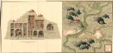
Plan der Bergwerg, Stain, und Schwamburg
Mollova mapová sbírka Geyer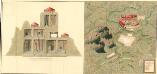
Plan der Bergwergs Schwarz Rappen, in der Gosniz
Mollova mapová sbírka Geyer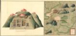
Plan deren Gebirgen Sent-Kopf, und Wurtzkopf
Mollova mapová sbírka Geyer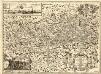
Novissima Carinthiae Tabula
1 : 260000 Mollova mapová sbírka Zauchenberg, Johann Baptist Zeuchenberg, Johann Baptist
Ducatus Carinthiae Tabula
1 : 740000 Mollova mapová sbírka Engelbrecht, Martin Engelbrecht, Martin
Ducatus Carinthiae Tabula
1 : 740000 Mollova mapová sbírka Engelbrecht, Martin Engelbrecht, Martin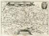
Ertzhertzogthum Kärnten
1 : 600000 Mollova mapová sbírka Valvasor, Janez Vajkard Endter, Wolfgang Moritz
Carinthiae Ducatvs Hertzogthum Cärnten
1 : 560000 Mollova mapová sbírka Merian, Matthaeus Merian, Matthäus
G. Freytags Karte der Isonzo-Front
1 : 350000 Gorizia (Itálie : provincie) Kartogr. Anstalt G. Freytag & Berndt