编目地图


n/a
1791
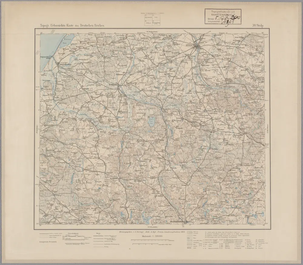
30. Stolp, uit: Topographische Uebersichtskarte des Deutschen Reiches / herausgegeben v. d. Kartogr. Abt. d. Königl. Preuß. Landesaufnahme
1899
Königlich Preußische Landesaufnahme. Kartographische Abtheilung
1:200k
n/a
1791
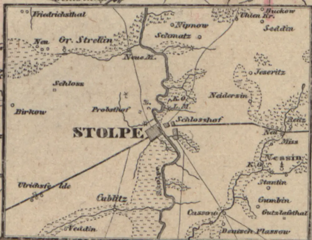
[Stargard]
1858
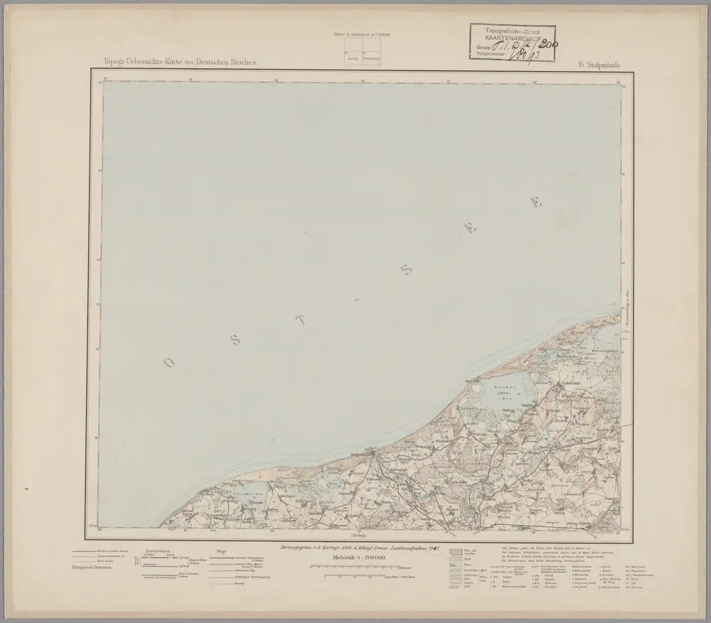
14. Stolpmünde, uit: Topographische Uebersichtskarte des Deutschen Reiches / herausgegeben v. d. Kartogr. Abt. d. Königl. Preuß. Landesaufnahme
1899
Königlich Preußische Landesaufnahme. Kartographische Abtheilung
1:200k
Meßtischblatt 1870 : Bütow, 1938
1938
1:250k
Meßtischblatt 530 : Friedrichshuld, 1919
1919
1:250k
Meßtischblatt 529 : Brotzen, 1932
1932
1:250k
Meßtischblatt 1869 : Lubben, 1928
1928
1:250k
Meßtischblatt 1770 : Wundichow, 1940
1940
1:250k