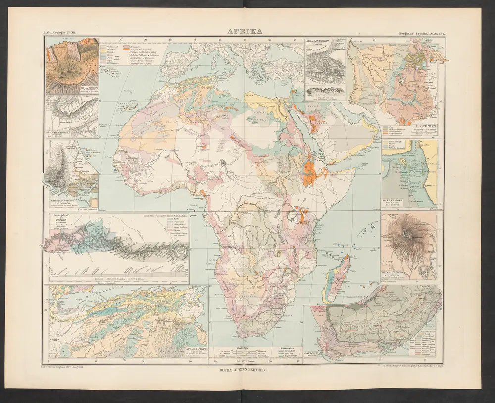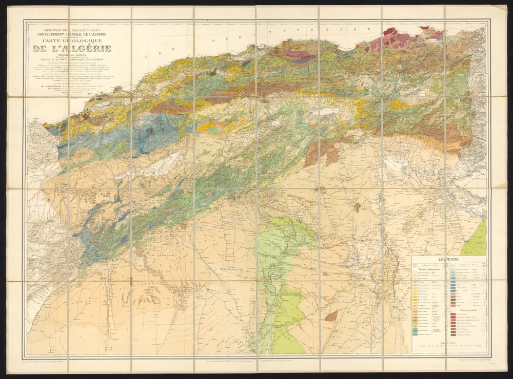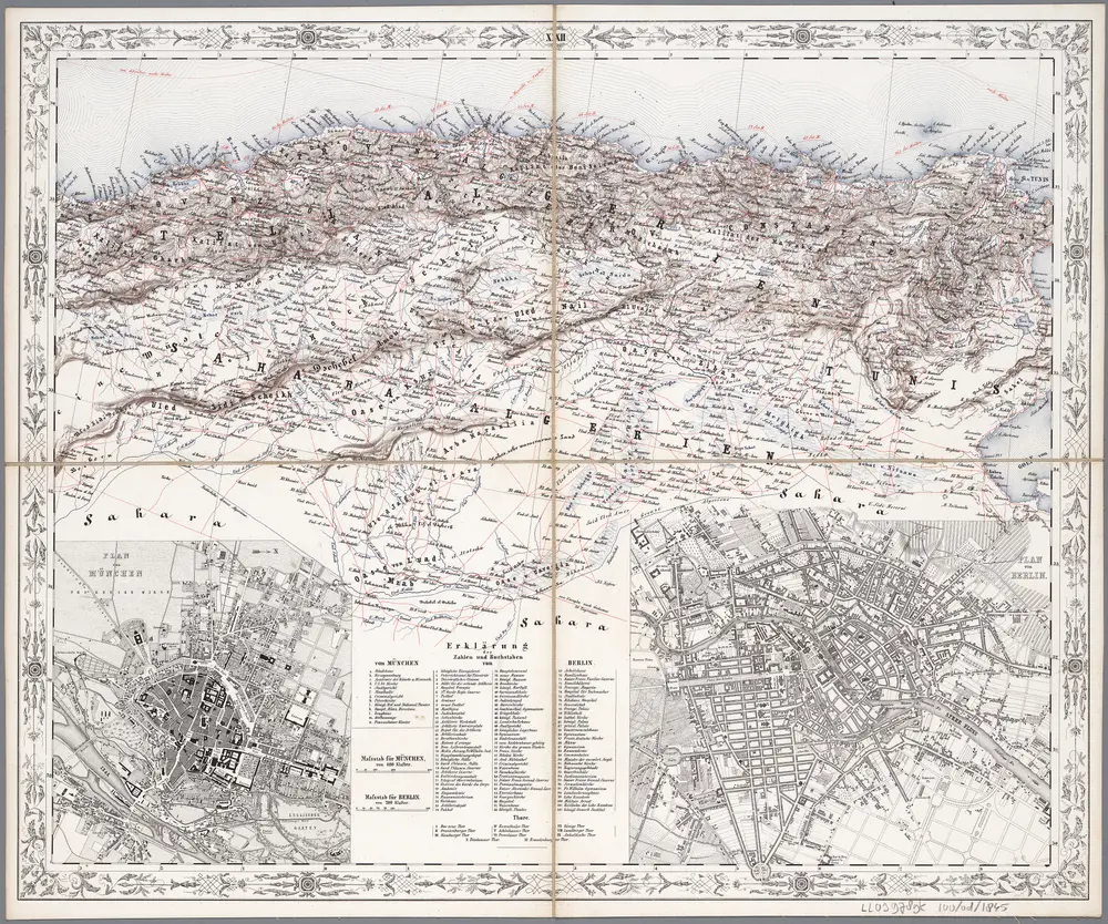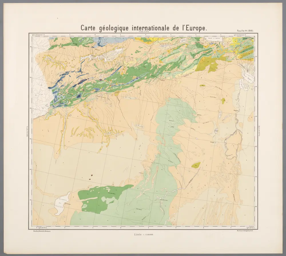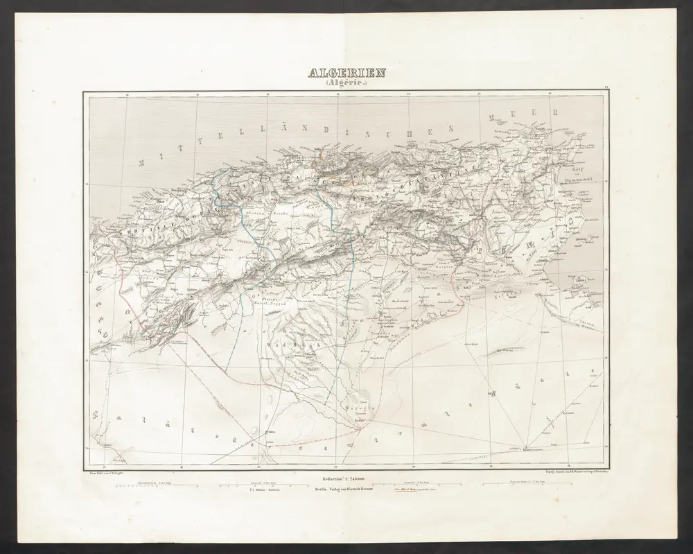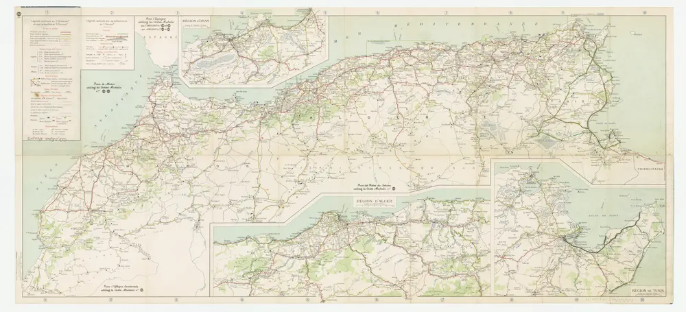
Maps of Algeria

Maps of Algeria

$title$

$title$

Mare Mediterraneum

1 Karte : Kupferdruck ; 48 x 56 cm Seutter Matthäus Seutter
$title$

Evropa XIX. století: od vídeňského kongresu r. 1815, do rozhodnutí na frontách světové války r. 1918

Kašpar, Jan
$title$

La mer Mediterranée divisée en ses principales parties ou mers

1 : 6200000 Středozemní moře-oblast Valk, Gerhard G. Valk
$title$

Carte des pays qu'occupe maintenant la mer Mediterranée

1 Karte : Kupferdruck ; 32 x 66 cm La Borde s.n.
$title$

Mare Mediterranevm

1 Karte : Kupferdruck ; 37 x 59 cm Hauer Homännische Erben
$title$

101. Mediterranean Sea. The World Atlas.

1 : 10000000 USSR (Union of Soviet Socialist Republics).
$title$

La mer Mediterranée

1 Karte auf 2 Blatt : Kupferdruck ; 53 x 86 cm Sanson; Jaillot chez H. Iaillot joignant les grands Augustins aux 2 Globes
$title$

La mer Mediterranée

1 Karte auf 2 Blatt : Kupferdruck ; 47 x 85 cm Valck par G. Valck sur le Dam
$title$

(Mediterranean Region)

1 : 10900000 Bowen, Frances
$title$

La mer Mediterranée

1 Karte auf 2 Blättern : Kupferdruck ; 53 x 87 cm Sanson; Denis; Basset; Basset chès Basset rue St. Jacques au coin de celle des Mathurins à l'Image S.e Genevieve
$title$

Nord de l'Afrique, Mer Mediterranee, Europe Meridionale.

1 : 9300000 Brue, Adrien Hubert, 1786-1832
$title$

Nord de l'Afrique, Mediterranee.

1 : 9200000 Levasseur, E.
$title$

L'Hellénisme dans l'Antiquité [I]

Makedonien Hellenismus Altertum Kümmerly & Frey
$title$

Mediterranean Sea.

1 : 6300000 Thomson, John
$title$

Aelteste Geographie der Griechen, nach dem Homer und Hesiodus

Afrika severní
$title$

Aphricae Tabula II. [Karte], in: Claud. Ptolemaeus. Geographia lat. cum mappis [...], S. 287.

1 Karte aus Atlas Münster, Sebastian [und Ptolemaeus, Claudius]
$title$

Das Mittelländische Meer

Stieler's Hand-Atlas Stieler, Adolf bei Justus Perthes
$title$

Carte nouvelle de la mer Mediterranée : divisée en mer de Levant et de Ponant, subdivisés en leurs principales parties ou mers : avec les observations des Mrs. de l'Académie

1 : 4375000 Sanson, Nicolas, 1600-1667 chez Pierre Mortier
$title$

Nordwestliches Africa

Neuer Handatlas über alle Theile der Erde Kiepert, Heinrich Verlag von Dietrich Reimer
$title$

Europa befolkningskarta

$title$

Karte der Länder des Mittelmeeres

1 : 5000000 Středozemní moře-oblast Freytag & Berndt
$title$

Mer Mediterranee.

1 : 10000000 Garnier, F. A., 1803-1863
$title$

Afrique Septentrionale.

1 : 8000000 Montemont, A.
$title$

Mare internum cum populis adiacentibus a Pompeii ex Asia reditu usque ad bellum Actiacum.

1 : 12000000 Menke, Th.
$title$

Spain and Portugal.

from New & accurate description of the earth in all its empires, kingdoms and states
$title$

Karte des Mittelländischen Meeres

Středozemní moře-oblast Handtke, Friedrich C. Flemming
$title$

Patriarchati Occidentalis. (1826)

1 : 12100000 Tanner, Henry S.
$title$

Europe (south)

1 : 4800000 Anville, Jean Baptiste Bourguignon d, 1697-1782; Kitchin, Thomas; Robert Laurie & James Whittle
$title$

Tabula Secunda Africae [Karte], in: Claudii Ptolemei viri Alexandrini mathematice discipline philosophi doctissimi geographie opus [...], S. 184.

1 Karte aus Atlas Waldseemüller, Martin [und Ptolemaeus, Claudius] Übelin, Georg
© MapTiler © OpenStreetMap contributors
How does it work?
These instructions will show you how to find historical maps online.
Getting started
Type the place name in the search box to find the exact location. You can further adjust the search by zooming in and out.
Zoom
Zoom in and out with the buttons or use your mouse or touchpad natively.
Exact Area tool
Click here and draw a rectangle over the map to precisely define the search area.
Set filters
Narrow your search with advanced settings, such as Years (from/to), Fulltext, Publisher, etc.
Results
See the results of your search on the right side. You can scroll down to find more maps of this location.
?

Download OldMapsOnline Mobile