Cataloged map


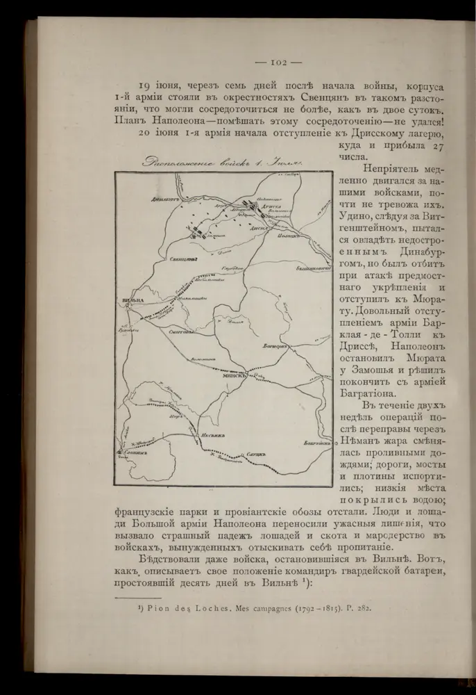
Raspoloženīe vojska 1. ījulja.
1812
Li palatinati di Minsk, Mscislaw, Polok, e Witebsk nella Littuania / tratta dall'atlante polacco del
1781
Zuliani, Giuliano
1:1m
Dwinsk (Dünaburg), Friedrichstadt
1917
K. u. k. Militärgeographisches Institut
1:750k
Połock, Witebsk, Smolensk
1918
K. u. k. Militärgeographisches Institut
1:750k
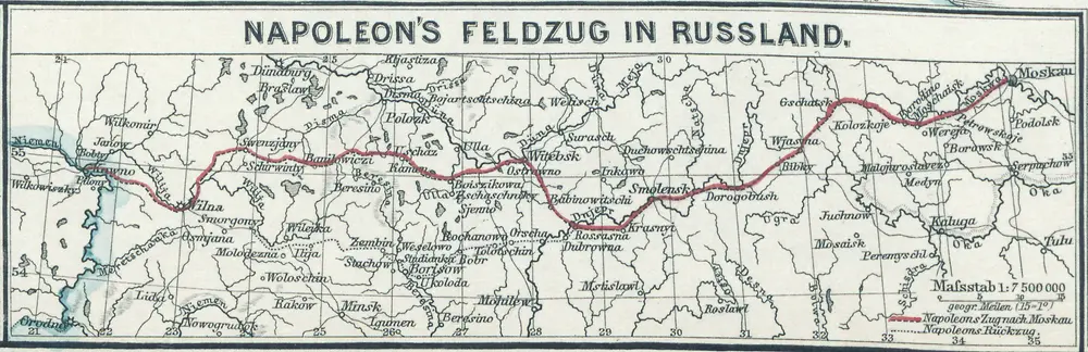
Napoleon's Feldzug in Russland
1812
1:8m
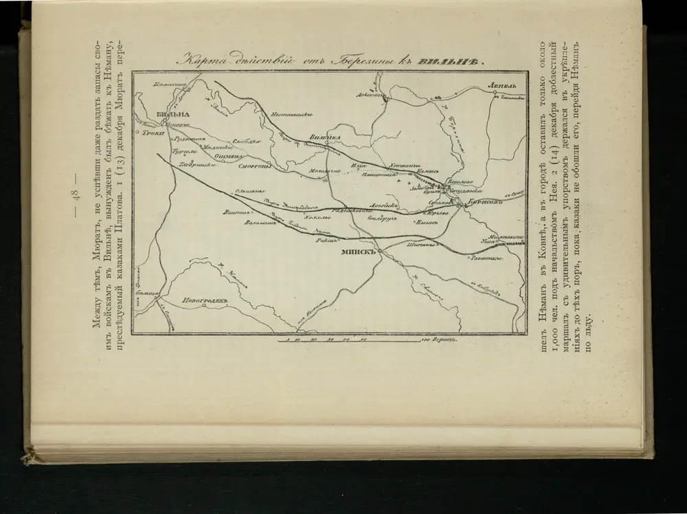
Karta di’jstvij ot‘‘ Bereziny k‘‘ Vil’ně
1812
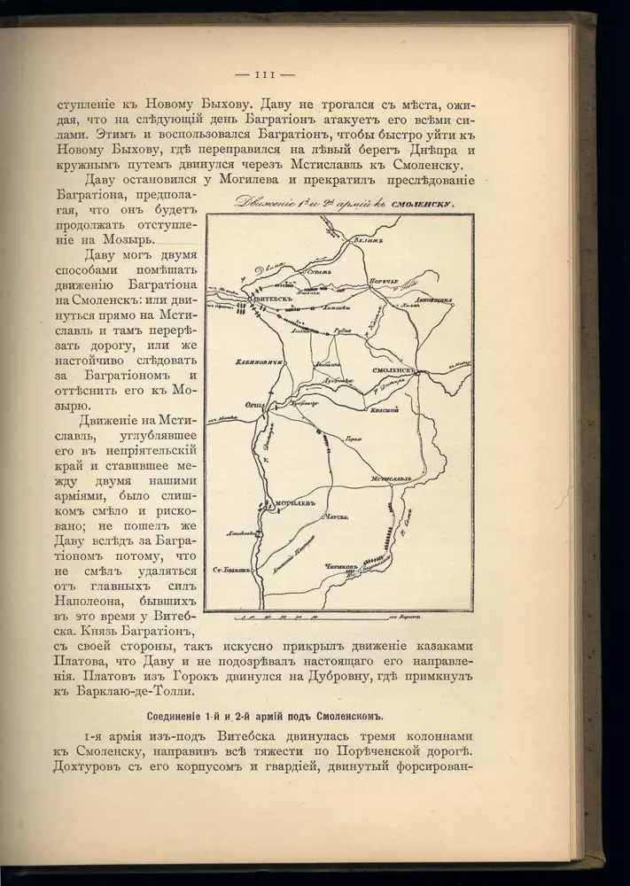
Dviženīe 1j i 2j armīi k Smolensku.
1812
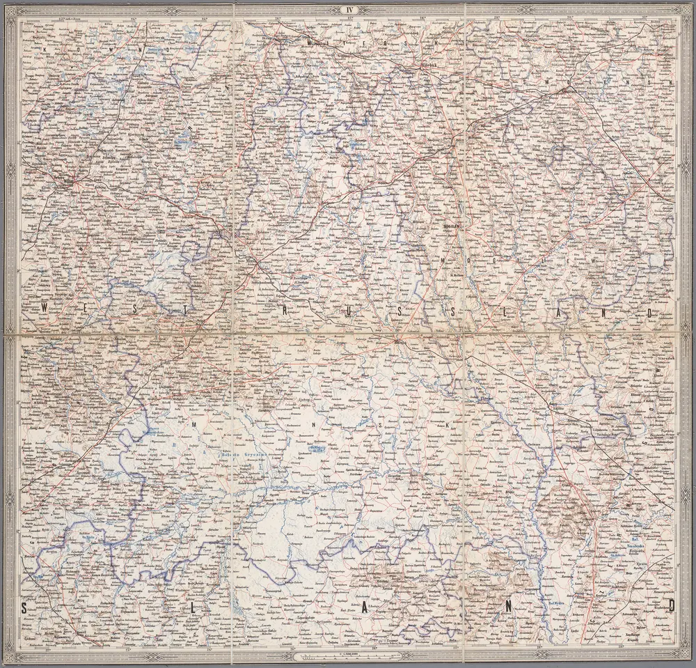
IV, uit: General-Karte von Mittel-Europa in 12 Blättern, im Masse 1:1.200.000 / entworfen, bearb. und hrsg. von Josef Schlacher
1875
Wien : K.K. Militär Geografisches Institut
1:1m
n/a
1728
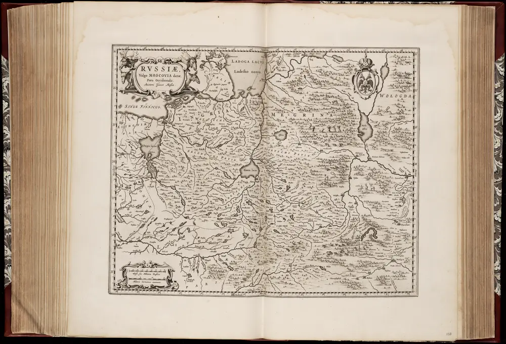
Rvssiæ, vulgo Moscovia dictæ, pars occidentalis / auctore Isaaco Maßa
1662
Isaac Abrahamszoon Massa 1586-1643
1:2m