Cataloged map


Polonia et Silesia
1630
Mercator; Hondius
Polonia et Silesia
1585
Mercator
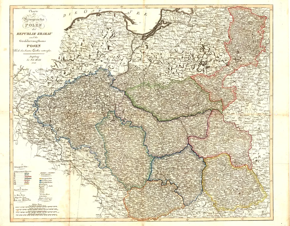
Charte des Königreichs Polen, der Republik Krakau und des Grossherzogthums Posen
1836
Joh. Walch
Herzogthum Warschau
1820
1:2m
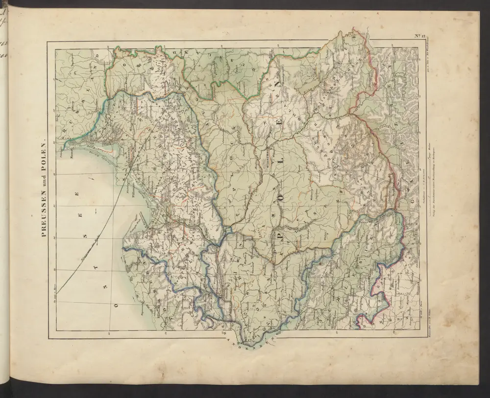
Preussen und Polen
1843
Völter, Daniel
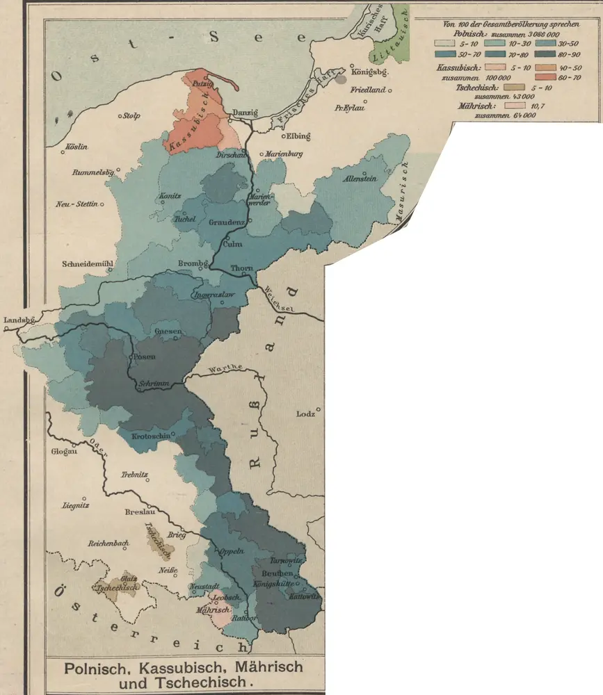
Polnisch, Kassubisch, Mährisch und Tschechisch
1913
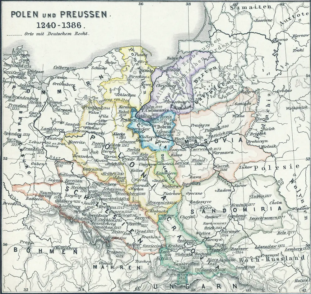
Polen und Preussen 1240 - 1386
1386
1:6m

Provinz Preussen und Polen
1873
1:3m
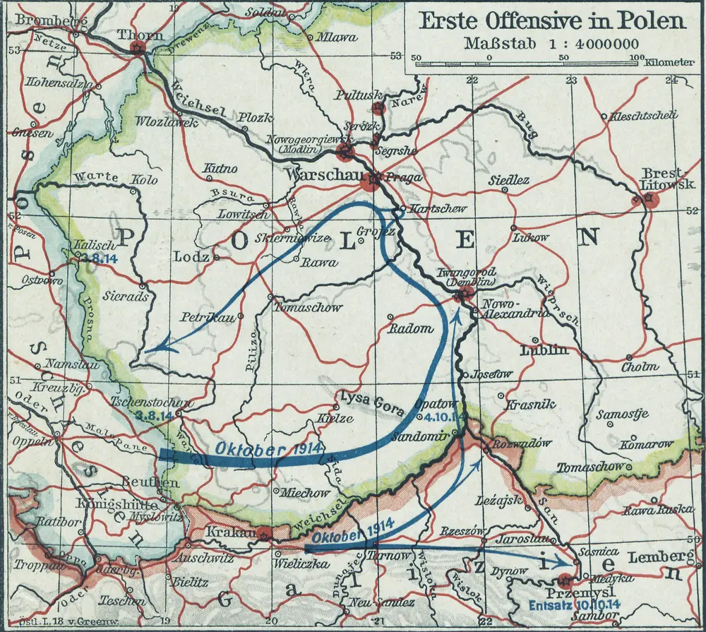
Erste Offensive in Polen
1914
1:4m
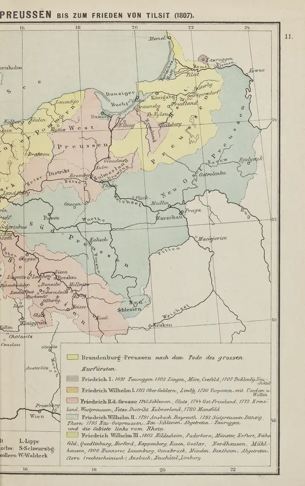
Geschichtl. Entwicklung des Königr. Preussen bis zum Frieden von Tilsit (1807)
1807