Cataloged map


n/a
1742
Provincia di Surrey
1779
Zatta
An accurate map of the county of Surrey
1749
Bowen; Hinton
Svrria vernacule Svrrey
1646
Blaeu
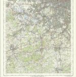
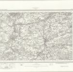
London SW - OS One-Inch Map
1954
Ordnance Survey
1:63k
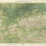
Surrey, Sheet 30 - Bartholomew's "Half Inch to the Mile Maps" of England & Wales
1903
Bartholomew, John George
1:127k
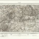
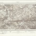
Reigate (Hills) - OS One-Inch Revised New Series
1887
Ordnance Survey
1:63k
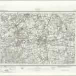
Reigate (Outline) - OS One-Inch Revised New Series
1887
Ordnance Survey
1:63k
Aldershot (Outline) - OS One-Inch Revised New Series
1893
Ordnance Survey
1:63k
Aldershot (Hills) - OS One-Inch Revised New Series
1893
Ordnance Survey
1:63k