Mappa catalogata
n/a


Titolo completo:n/a
Anno di illustrazione:1742
Data di pubblicazione:1742
Dimensione fisica:20 x 30 cm
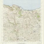
Minehead - OS One-Inch Map
1957
Ordnance Survey
1:63k
An improved map of the county of Somerset
1750
Bowen; Hinton
Somersettensis comitatvs
1690
Valck; Schenk
Somersettensis comitatvs
1646
Blaeu
n/a
1742
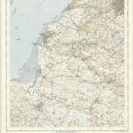
Weston-Super-Mare - OS One-Inch Map
1949
Ordnance Survey
1:63k
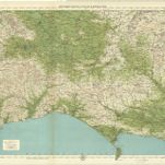
Dorset, Sheet 34 - Bartholomew's "Half Inch to the Mile Maps" of England & Wales
1902
Bartholomew, John George
1:127k
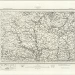
Dulverton (Outline) - OS One-Inch Revised New Series
1896
Ordnance Survey
1:63k
Dulverton (Hills) - OS One-Inch Revised New Series
1896
Ordnance Survey
1:63k
Tiverton (Hills) - OS One-Inch Revised New Series
1897
Ordnance Survey
1:63k
Tiverton (Outline) - OS One-Inch Revised New Series
1897
Ordnance Survey
1:63k