Gecatalogiseerde kaart
n/a


Volledige titel:n/a
Jaar illustratie:1742
Pubdatum:1742
Fysieke grootte:20 x 30 cm
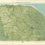
Norfolk, Sheet 15 - Bartholomew's "Half Inch to the Mile Maps" of England & Wales
1903
Bartholomew, John George
1:127k
An accurate map of the county of Norfolk
1749
Bowen; Hinton
Nortfolcia; vernacule Norfolke
1690
Valck; Schenk
Nortfolcia
1646
Blaeu
n/a
1742
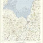
Fakenham - OS One-Inch Map
1950
Ordnance Survey
1:63k
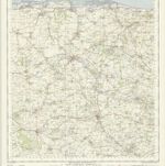
Norwich - OS One-Inch Map
1952
Ordnance Survey
1:63k
n/a
1742
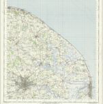
Kings Lynn - OS One-Inch Map
1950
Ordnance Survey
1:63k
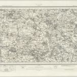
Aylsham (Hills) - OS One-Inch Revised New Series
1897
Ordnance Survey
1:63k
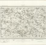
Aylsham (Outline) - OS One-Inch Revised New Series
1897
Ordnance Survey
1:63k