Cataloged map


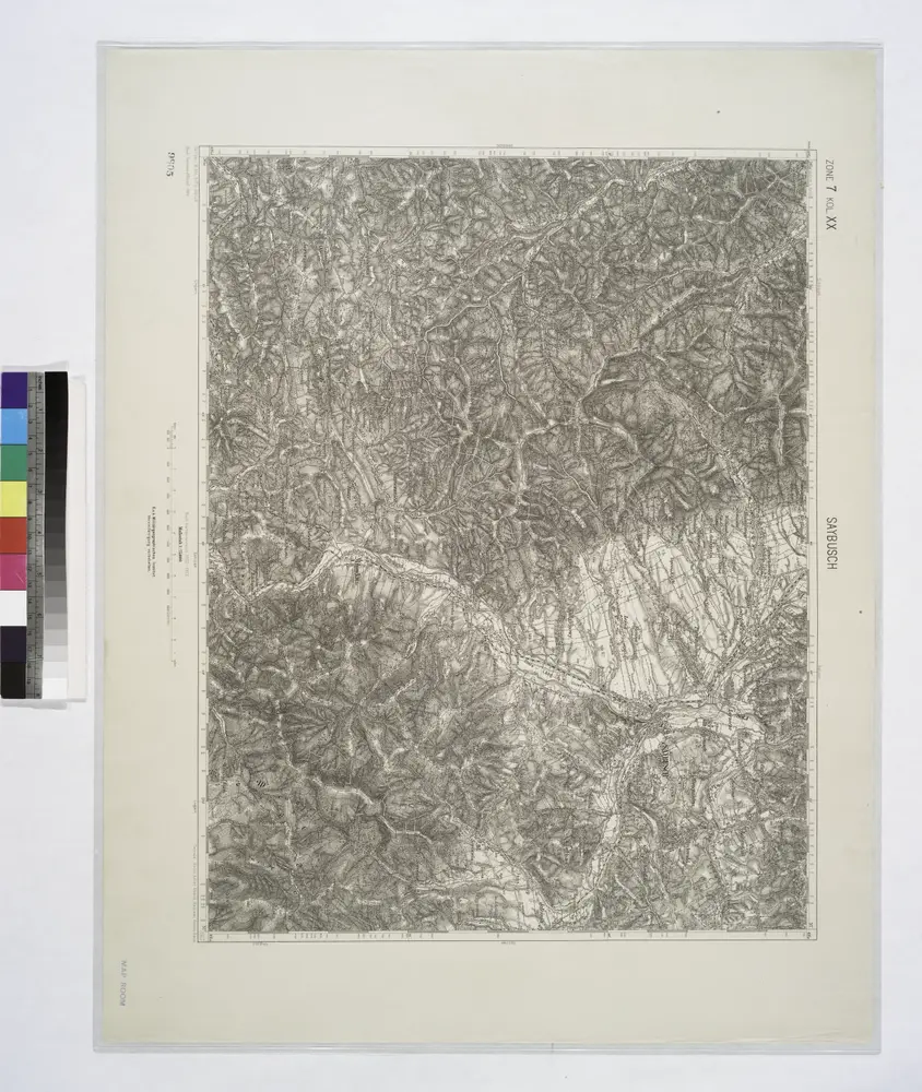
Saybusch.
1914
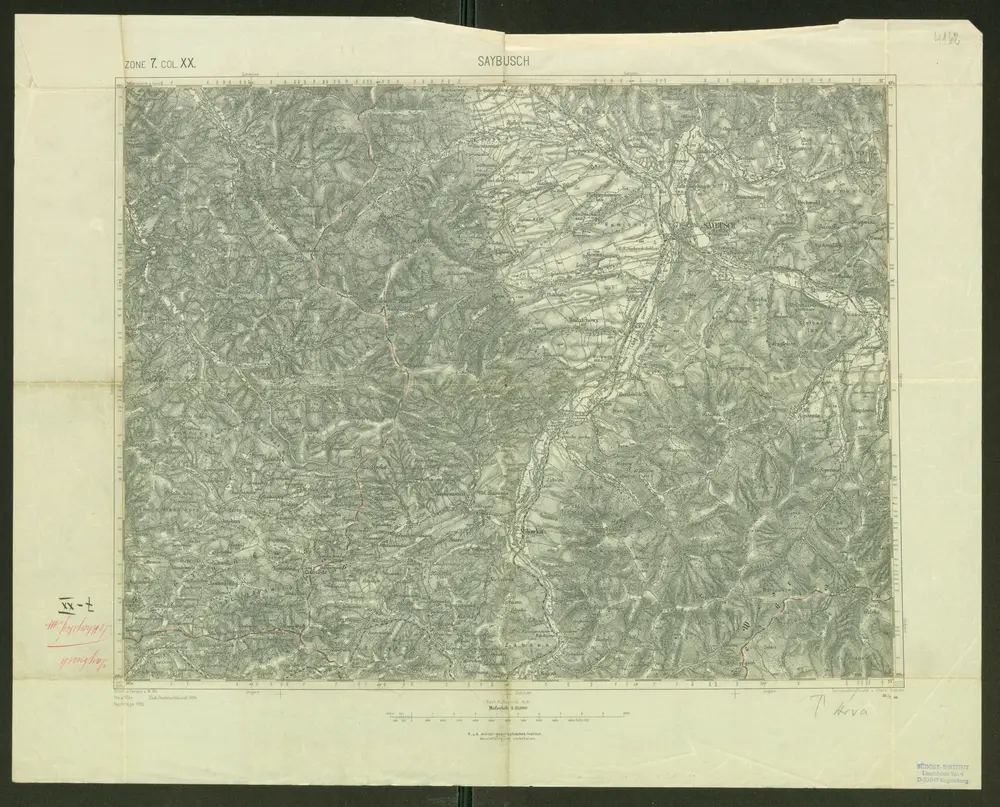
Saybusch
1895
Schrift und Gerippe v. W. Ahl. Terrainschraffirung v. Oberlt. Hettwer
1:75k
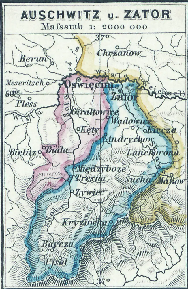
Auschwitz u. Sator
1880
1:2m
n/a
1800

Makow und Podvilk.
1914
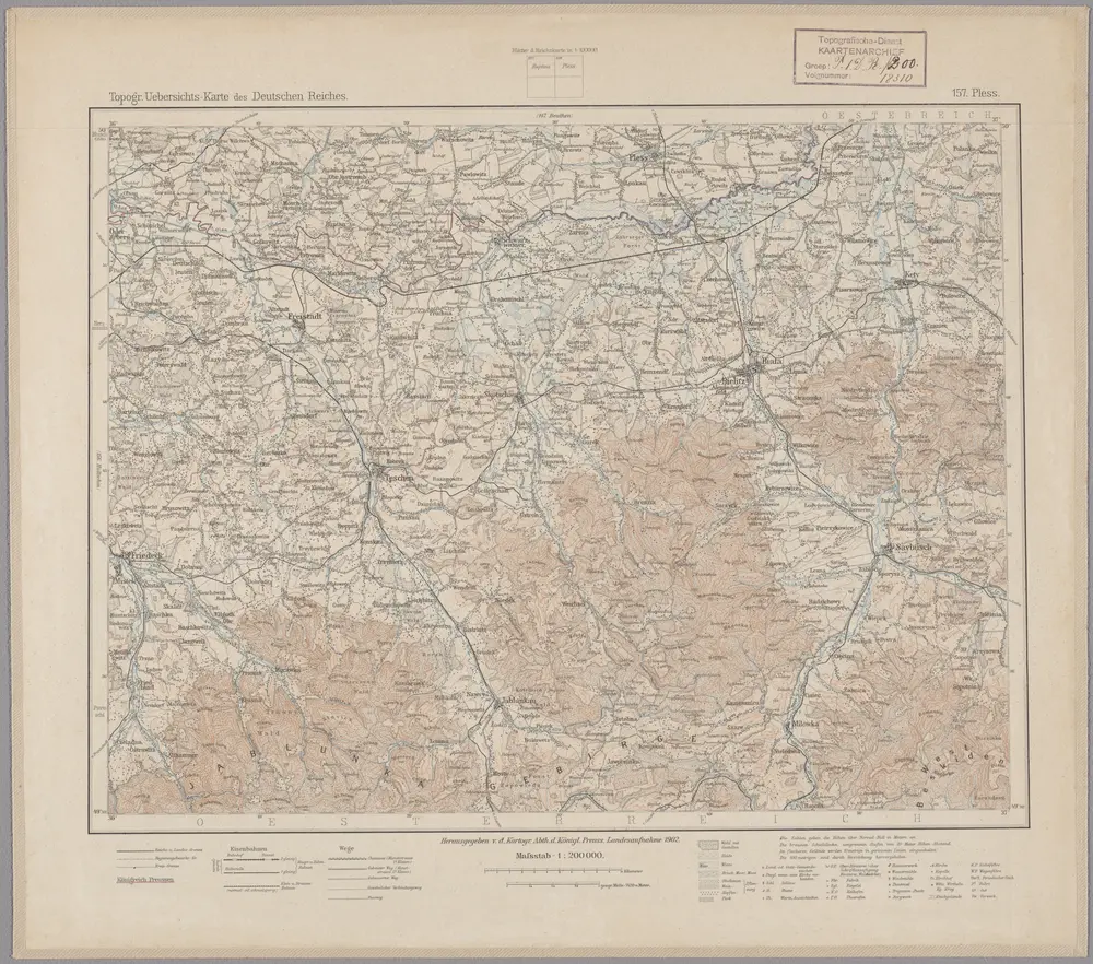
157. Pless, uit: Topographische Uebersichtskarte des Deutschen Reiches / herausgegeben v. d. Kartogr. Abt. d. Königl. Preuß. Landesaufnahme
1899
Königlich Preußische Landesaufnahme. Kartographische Abtheilung
1:200k
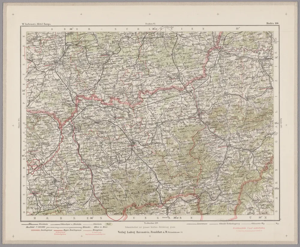
Bielitz 106, uit: Special-Karte von Mittel-Europa / nach amtlichen Quellen bearbeitet von W. Liebenow
1899
Johannes Wilhelm Liebenow 1822-1897
1:300k
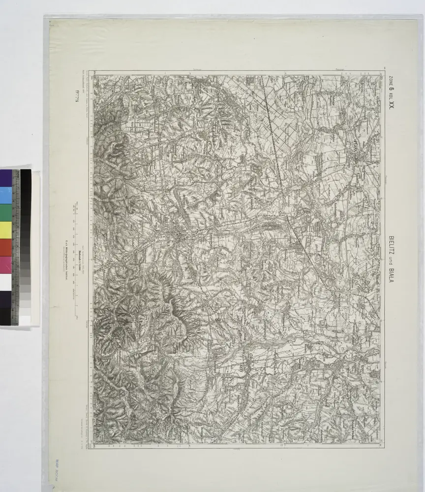
Bielitz und Biala.
1914
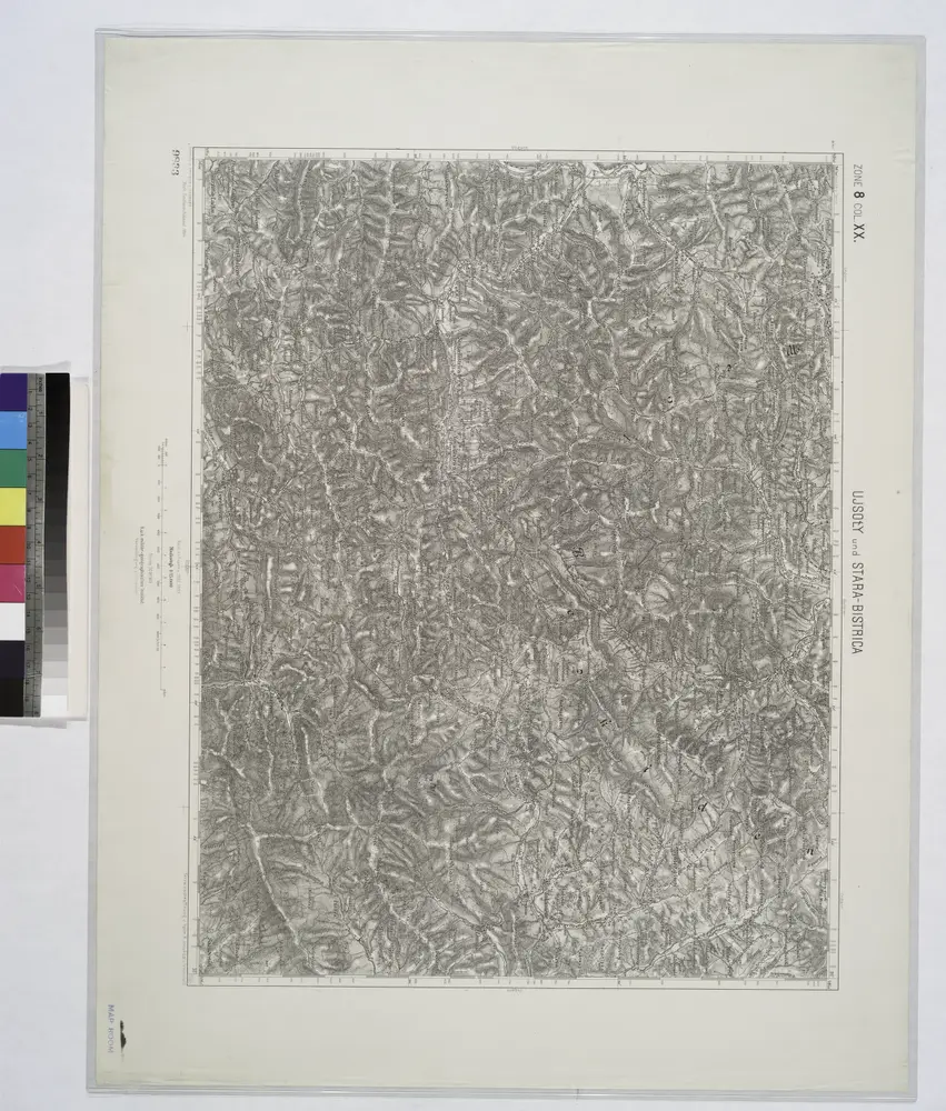
Ujsoly und Stara-Bistrica.; Spezialkarte der osterreichisch-ungarischen Monarchie.
1894
n/a
1804