Mapa catalogado
n/a


Título completo:n/a
Año de ilustración:1728
Fecha de publicación:1728
Tamaño físico:20 x 30 cm
n/a
1791
Mapa general del reyno de Portugal, 1
1778
Tomás López
n/a
1800
Mapa de la provincia de Tras-Los-Montes
1762
López
n/a
1800
Mapa de la provincia de Entre Duero y Miño
1762
López
n/a
1728
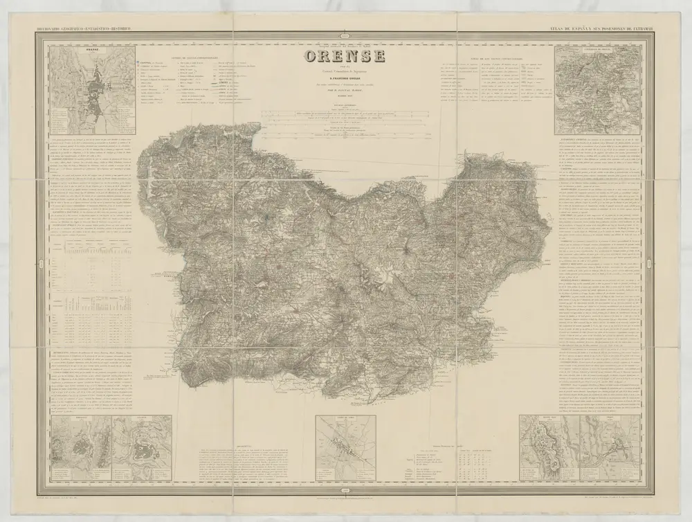
Orense
1856
Coello, Francisco
1:200k
Partie septentrionale du royaume de Portugal
1751
Robert de Vaugondy
Mappa ou carta geographica dos reinos de Portugal e Algarve, 2
1762
Dury