Carte cataloguée


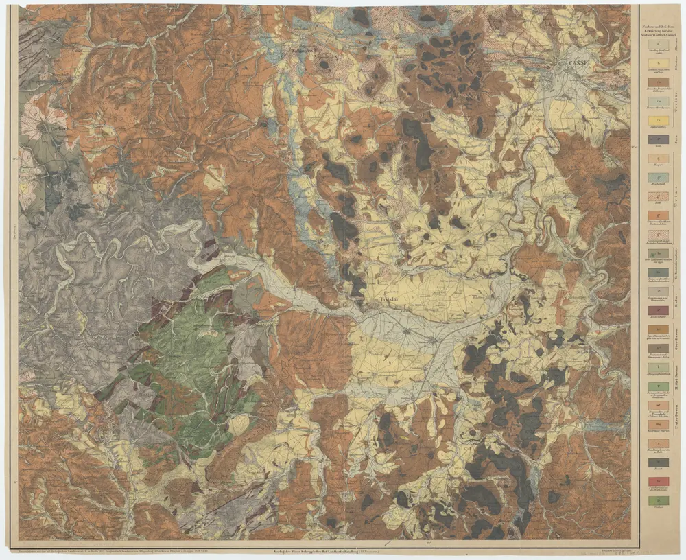
[Fritzlar] / hrsg. von der kgl. geologischen Landesanstalt in Berlin ; geognostisch bearb. von F. Beyschlag ... [et al.] 1888-1889
1892
Franz Heinrich August Beyschlag 1856-1915; Kgl. geologische Landesanstalt, Berlin
1:80k
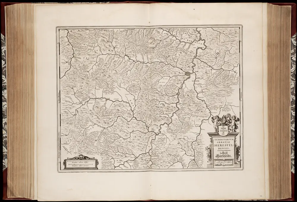
Territorivm abbatiae Heresfeldensis = 't Stift Hirszfeldt
1635
Willem Jansz Blaeu 1571-1638
1:70k
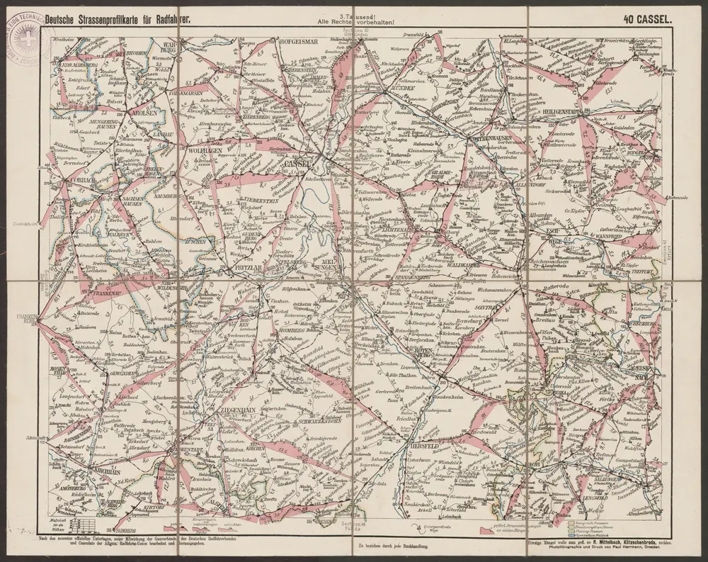
Cassel
1890
R. Mittelbach
1:300k
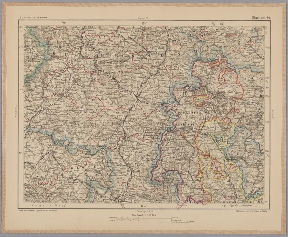
Eisenach 86, uit: [W. Liebenow's Special-Karte von Mittel-Europa]
1870
Johannes Wilhelm Liebenow 1822-1897
1:300k
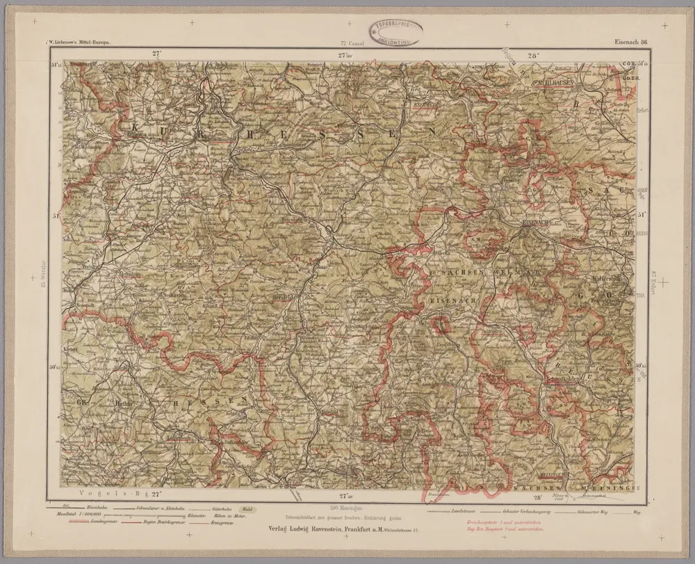
Eisenach 86, uit: Special-Karte von Mittel-Europa / nach amtlichen Quellen bearbeitet von W. Liebenow
1899
Johannes Wilhelm Liebenow 1822-1897
1:300k
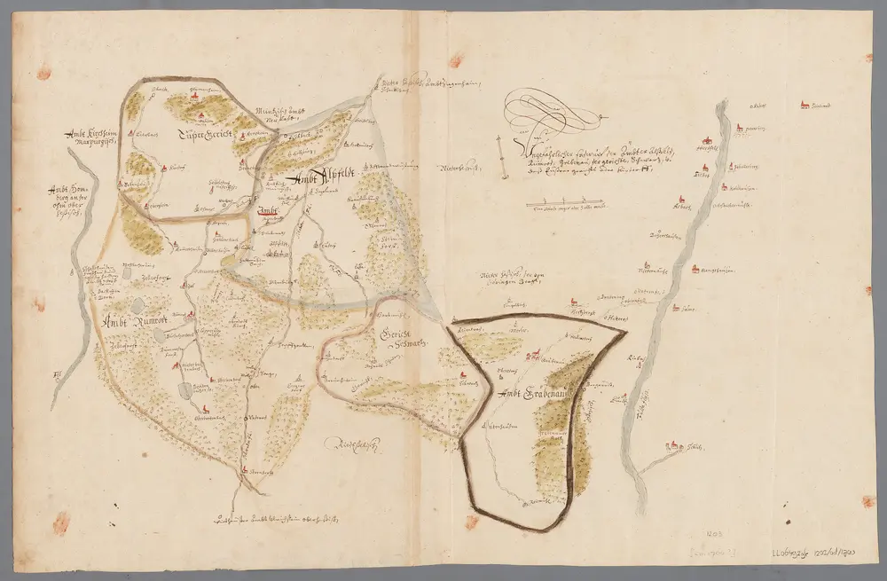
Ungefährlicher Entwurf den Ämbter Alssfeldt, Rümrodt, Grebenau, der Gerichte Schwarz und von Süsser Gerichte
1700
[S.l. : s.n.]
1:35k
Meßtischblatt 2987 . Niederaula, 1936
1936
1:250k
Meßtischblatt 5122 : Neukirchen i. Hessen-Nassau,1941
1941
1:250k
Meßtischblatt 2922, neue Nr. 5021 : Ziegenhain, 1937
1937
1:250k
Meßtischblatt 2921, neue Nr. 5020 : Gilserberg, 1937
1937
1:250k