Cataloged map


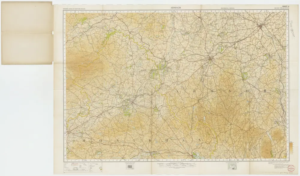
Sheet 9 Armagh, uit: [Northern Ireland] : one-inch popular edition
1933
Belfast : Ordnance Survey of Northern Ireland
1:63k
Vltoniae orientalis
1628
1:317k
Vltoniae orientalis. pars
1630
Mercator; Hondius
Vltoniæ orientalis pars
1630
Mercator
Vltoniae orientalis. pars
1606
Mercator; Hondius
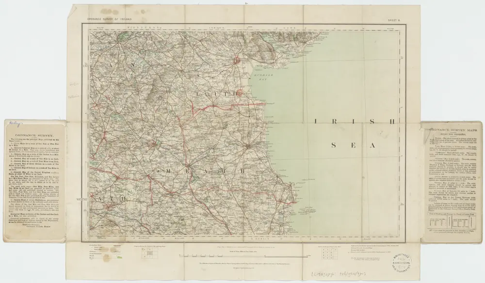
Sheet 8, uit: Ireland
1903
Dublin : Ordnance Survey of Ireland
1:253k

Atlas minor, mapa ze strany: 47
1610
Mercator Gerhard
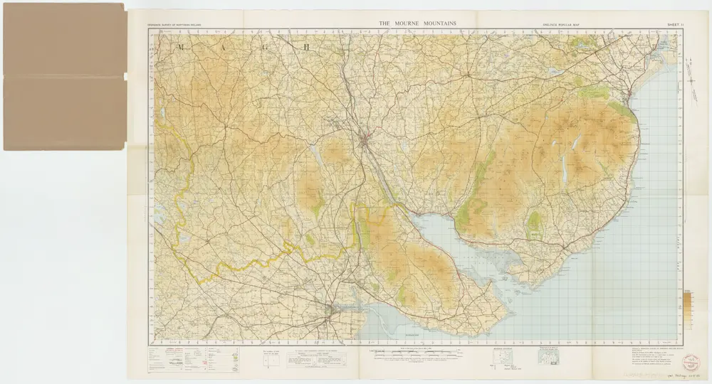
Sheet 11 The Mourne Mountains, uit: [Northern Ireland] : one-inch popular edition
1933
Belfast : Ordnance Survey of Northern Ireland
1:63k
Vltonia; hibernis Cvi-Gvilly; anglis Vlster
1654
Blaeu
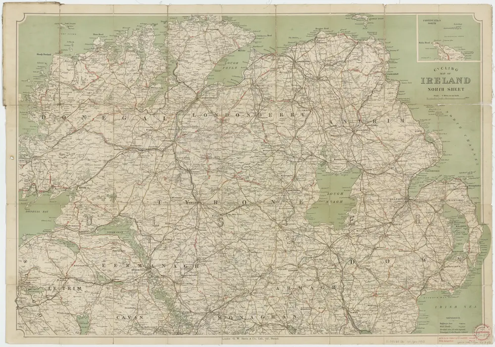
[Kaart], uit: Cycling map of Ireland : north sheet
1910
London : Bacon
1:400k