Carte cataloguée


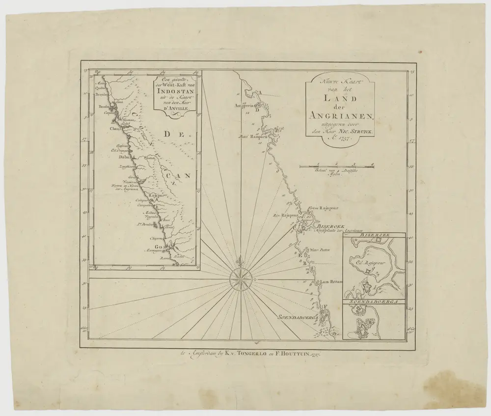
"Nieuwe kaart van het land der Angrianen." Met kartons voorstellende "een gedeeile der westkust van Indo[...] Biseroek, en Soendadoerga.
1757
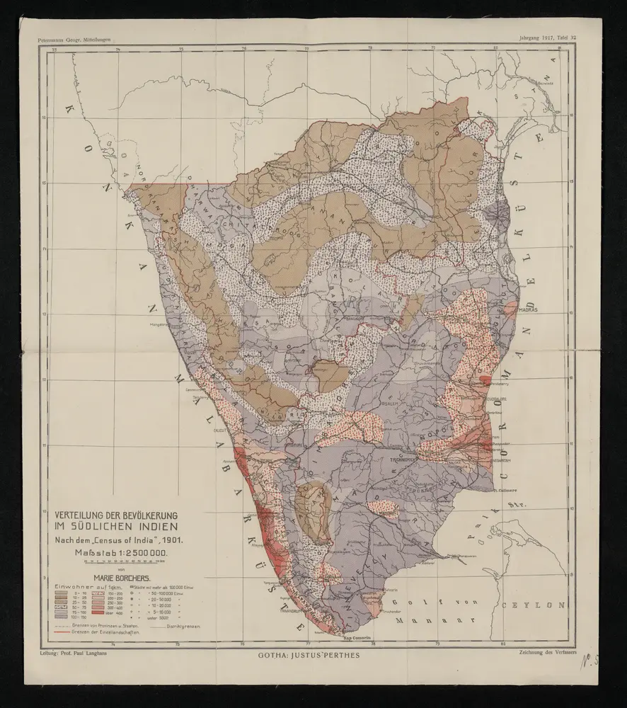
Verteilung der Bevölkerung im südlichen Indien : nach dem Census of India 1901
1917
Gotha : Justus Perthes

Süd -Canara
1859
Locher; Gross, Rudolf
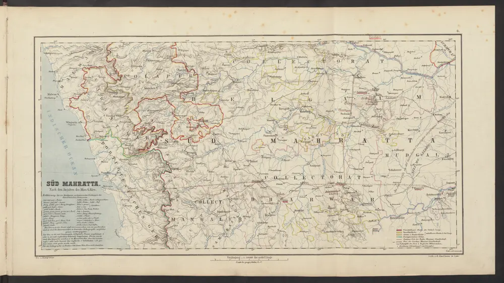
Süd Mahratta
1859
Locher; Gross, Rudolf
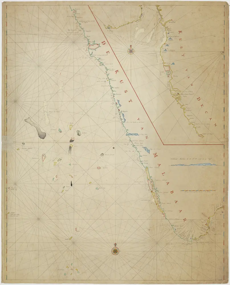
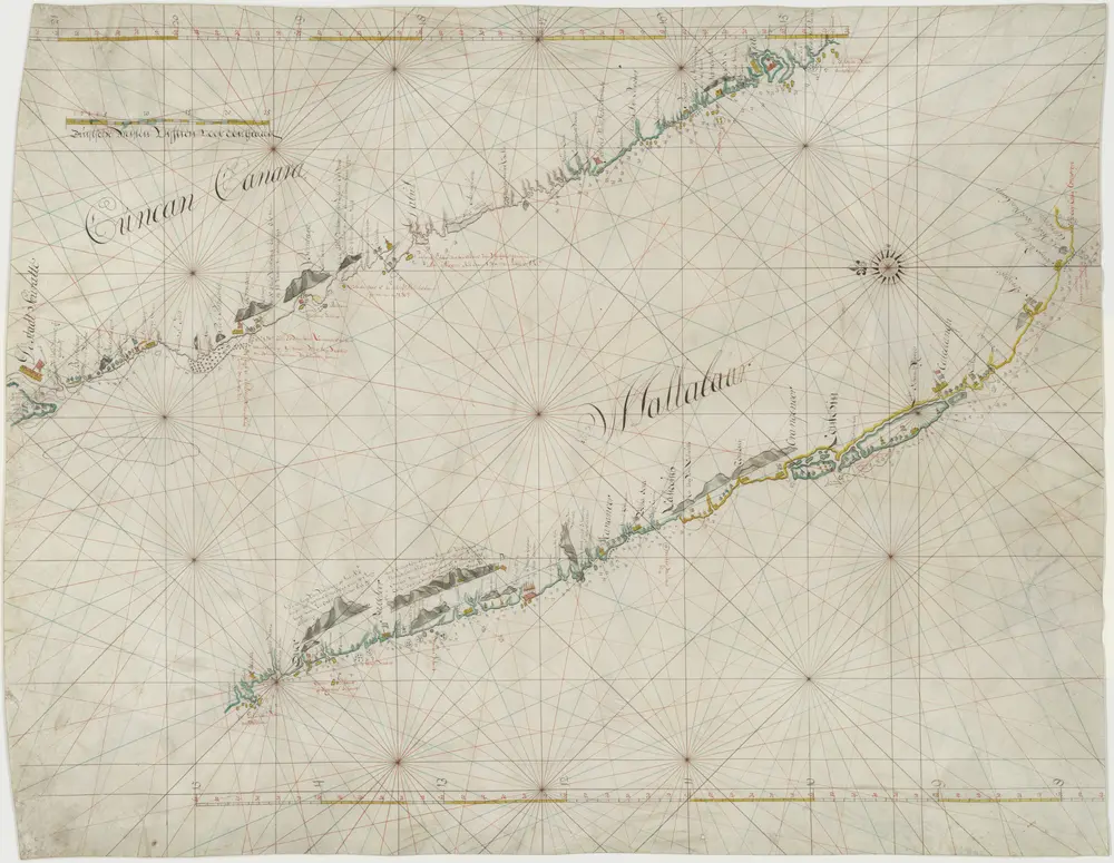
Kaart van de kust van Malabar en van de kust van Decan
1800
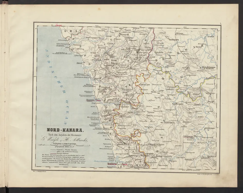
Nord-Kanara
1859
Locher; Gross, Rudolf
Peninsula Indiæ citra Gangem, hoc est, orae celeberrimae Malabar & Coromandel cum adjacente insula non minus celebratissima Ceylon
1733
L'Isle

Kaart van de kusten van Decan en Malabaar, van Suratte tot kaap Comorijn
1756
Kaart van de kust van Malabaar, van Suratte tot kaap Comorijn
1700
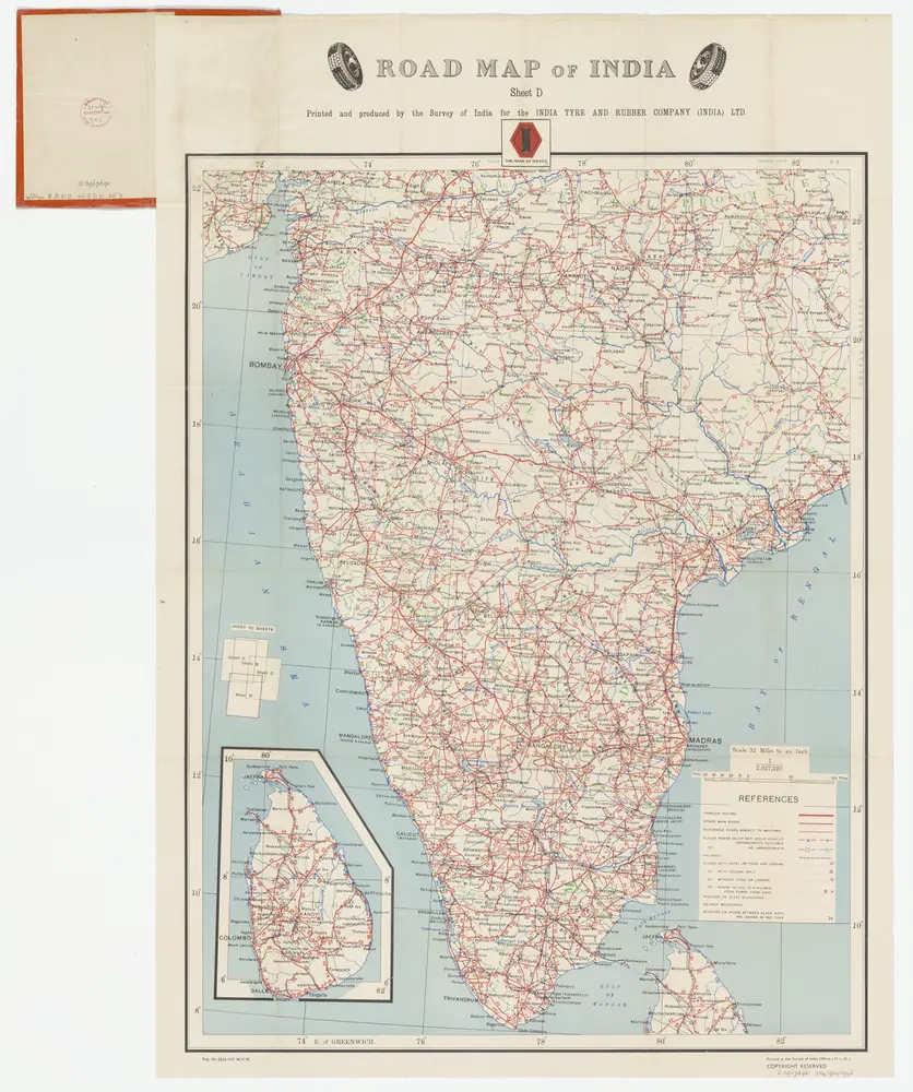
Sheet D [South India], uit: Road map of India
1946
[S.l. : India Tyre & Rubber Company]
1:2m