编目地图


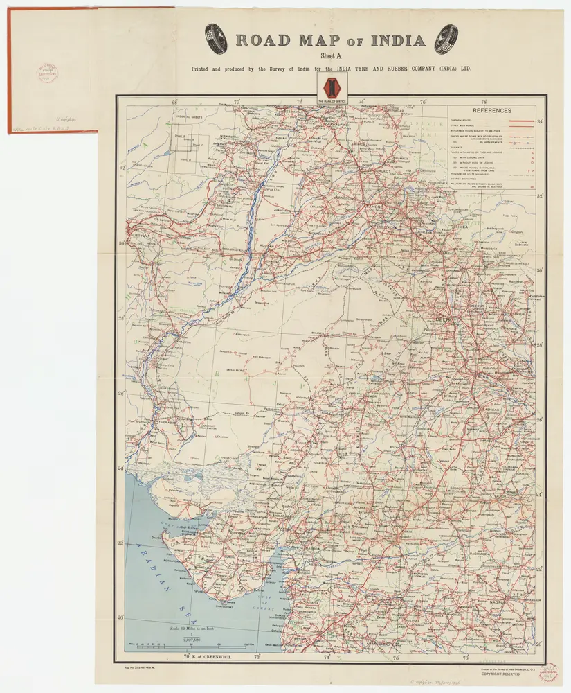
Sheet A [North West India], uit: Road map of India
1946
[S.l. : India Tyre & Rubber Company]
1:2m
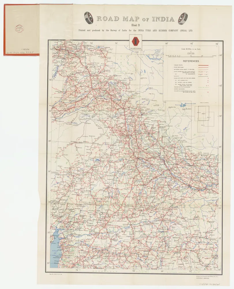
Sheet B [Central & North India], uit: Road map of India
1946
[S.l. : India Tyre & Rubber Company]
1:2m
Sindetic Hindoostan or the countries occupied by the Sinde or Indus and its branches
1816
Cary, John, ca. 1754-1835
1:7m
General Karte von VORDERINDIEN
1836
Berghaus, Heinrich Karl Wilhelm
1:4m
Charte von Ost Indien
1785
Sotzmann, Daniel Friedrich
Central division of Hindoostan
1816
Cary, John, ca. 1754-1835
1:7m
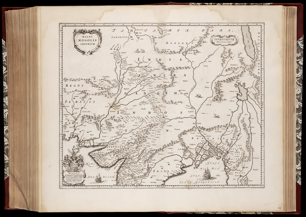
Magni Mogolis imperivm
1640
Joan Blaeu 1597/98-1673; Cornelis Blaeu ca. 1610-1645
1:7m
Map of India / constructed with great care and research from all the latest authorities and intended more particularly to facilitate a reference to the civil and military stations
1881
Wyld, James, 1812-1887
1:4m
Map of India : constructed with great care and research from all the latest authorities and intended more particularly to facilitate a reference to the civil and military stations
1840
Wyld, James, 1812-1887
1:4m
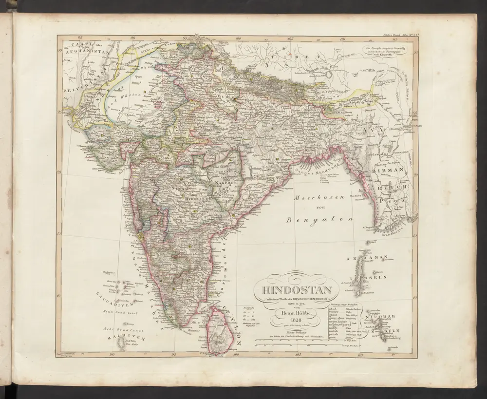
Hindostan mit einem Theile des Birmanischen Reichs
1833
Stieler, Adolf