Cataloged map


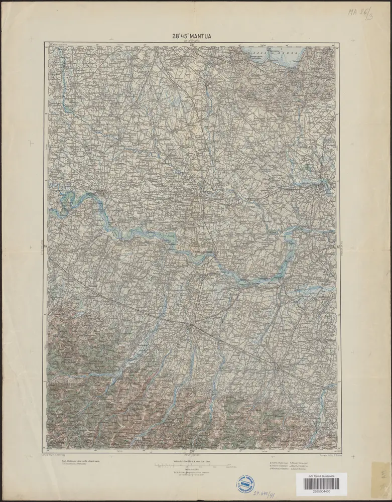
28°45° Mantua / K.u.k. militär-geographisches Institut
1905
K.u.k. militär-geographisches Institut
Ducatus Mantuensis, in qua sunt ducatus Guastallae, principatuum Castiglionae, Solverinae, Bosolae et Sabbionettae nec non Mirandolae ducatus, cum omnibus adjacentibus provinciis
1702
Danckerts, Justus
1:290k
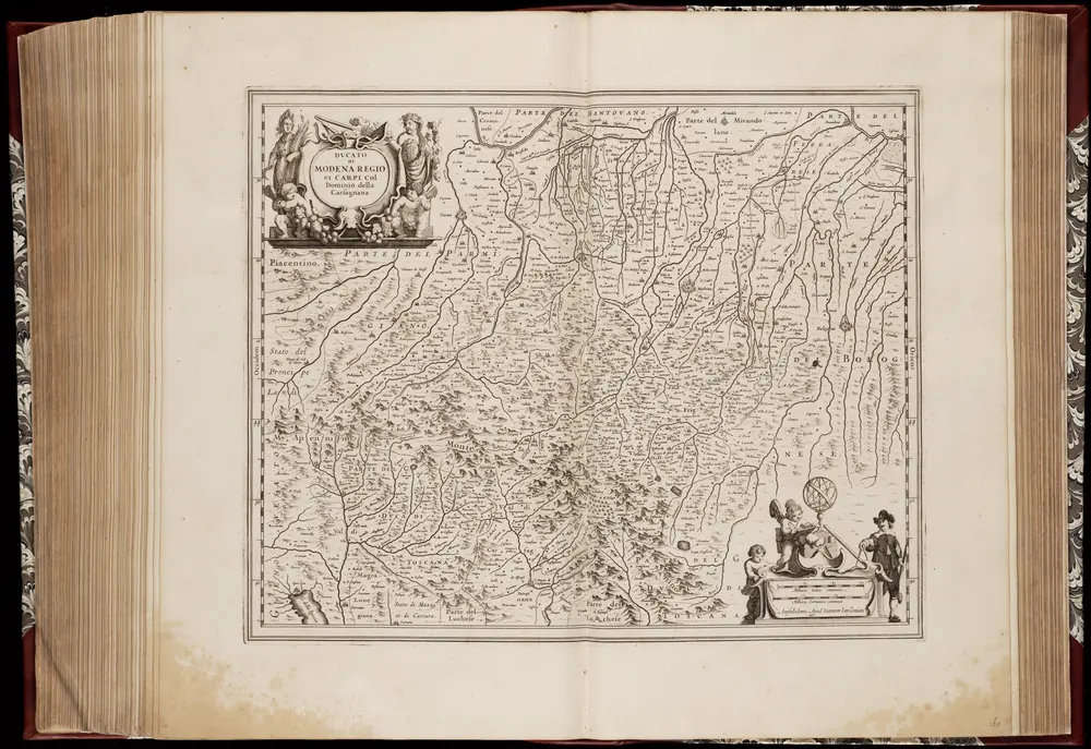
Dvcato di Modena regio et Carpi Col Dominio della Carsagnana
1656
Amstelodami : Apud Ioannem Ianssonium
1:327k
n/a
1728
Ducatus Mantuani, ceu sedis belli 1733-35 recentissima delineatio
1735
Homännische Erben
Ducatus Mantuani, ceu sedis belli 1733-35 recentissima delineatio
1735
Homännische Erben
Lo Stato Veneto da terra diviso nelle sue provincie, terza parte che comprende il polesine e porzioni del Bresciano Veronese Vicentino Padovano e del Dogado
1791
1:475k
n/a
1728
n/a
1728
Romandiola cum Parmensi ducatu
1633
Mercator; Hondius
Romandiola cum Parmensi ducatu
1630
Mercator; Hondius
Romandiola cum Parmensi ducatu
1589
Mercator