Cataloged map


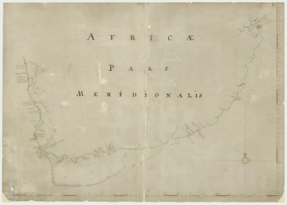
A draught of the south part of AFRICA from cape Bona Esperance to Delagoa
1707
Kaart van de kust van zuidelijk Afrika
1700
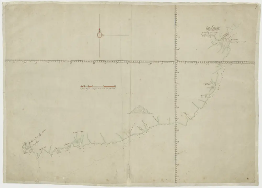
Kaart van de kust van zuidelijk Afrika
1700
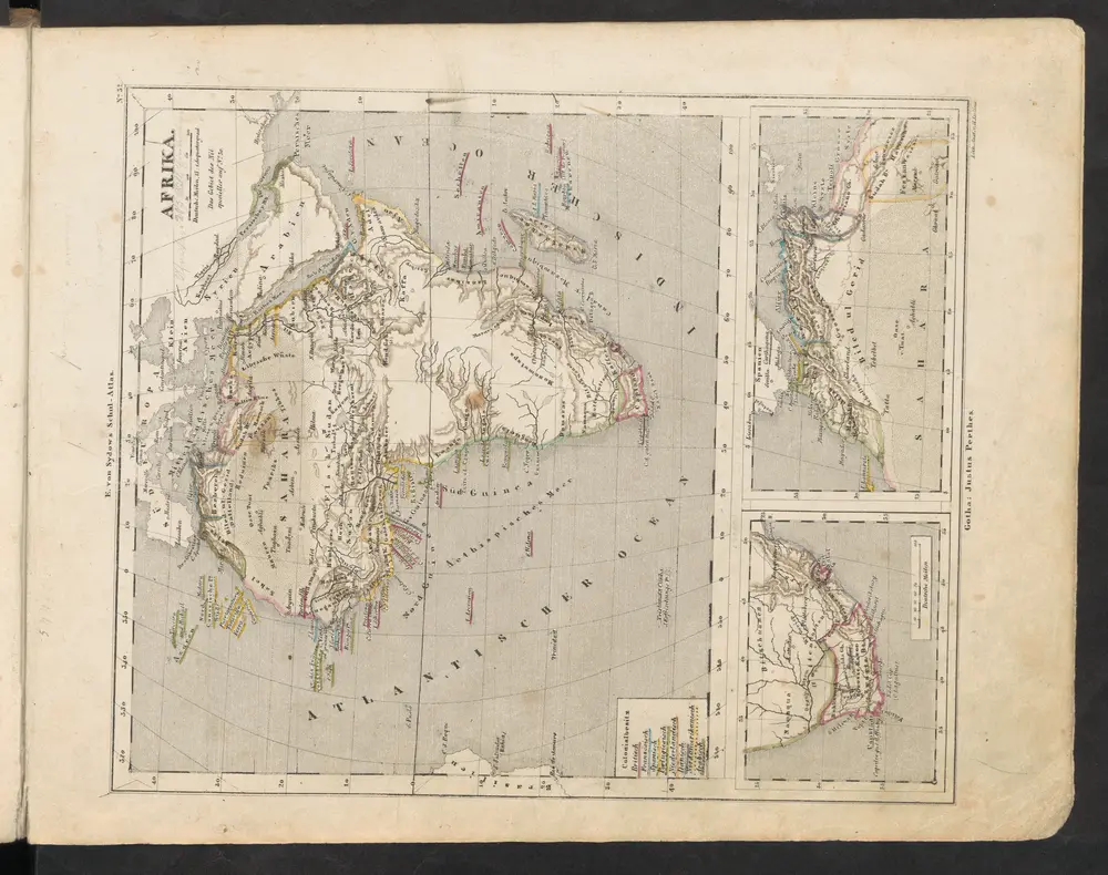
Afrika
1849
Sydow, Emil von
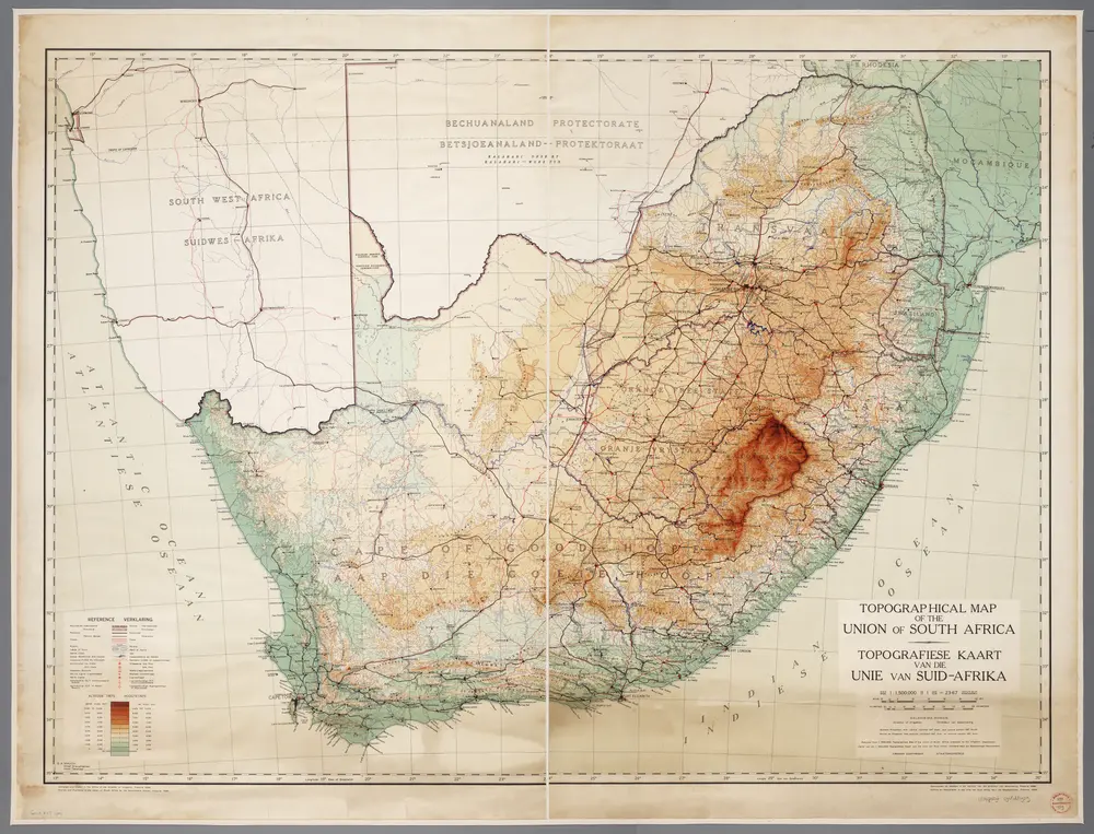
Topographical map of the Union of South Africa = Topografiese kaart van die Unie van Suid-Afrika / A.D. Lewis ; comp. in the Office of the Director of Irrigation
1939
Lewis, A. D.; Office of the Director of Irrigation, Zuid-Afrika
1:2m
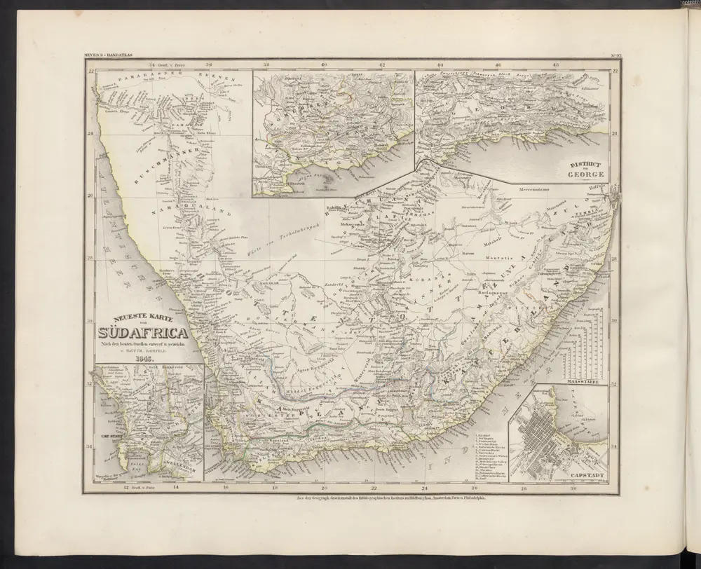
Neueste Karte von Südafrica
1860
Meyer, J.
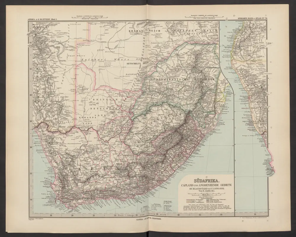
[Afrika, Blatt 5]
1892
Stieler, Adolf
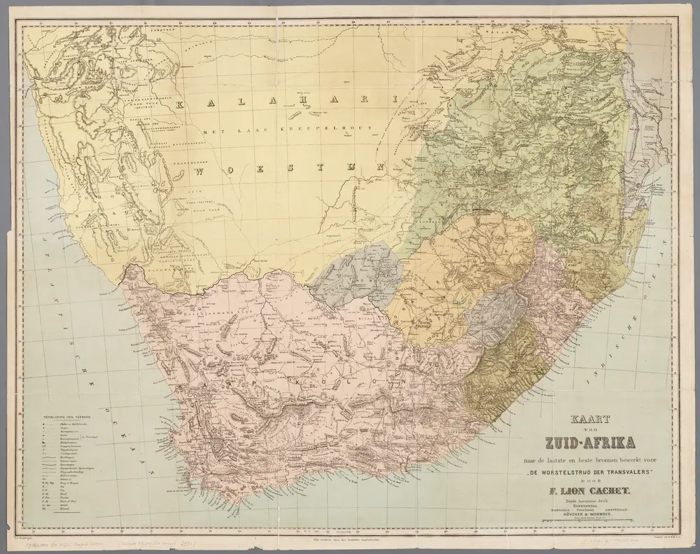
Kaart van Zuid-Afrika / naar de laatste en beste bronnen bewerkt voor 'De worstelstrijd der Transvalers' door F. Lion Cachet, derde herziene druk ; A.J. Wendel grav
1900
Abraham Jacobus Wendel 1826-1915
1:3m
Süd-Afrika
1854
Stieler, Adolf
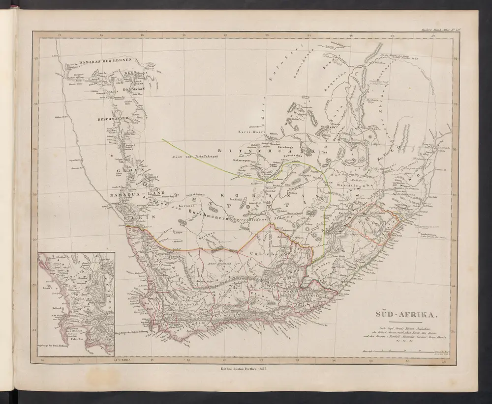
[Süd-Afrika]
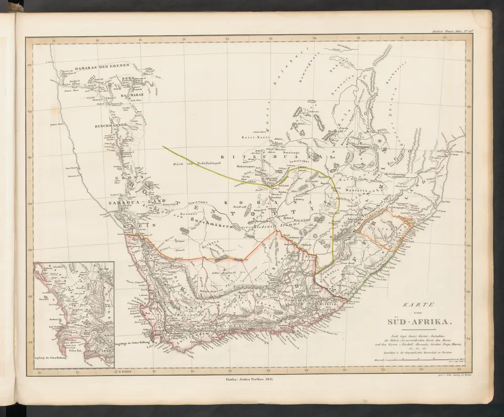
1845
Stieler, Adolf