Mapa catalogado


Quercy : Cadurcium
1633
1:365k
[Cahors]
1781
s.n.
n/a
1791
[Sarlat]
1785
s.n.
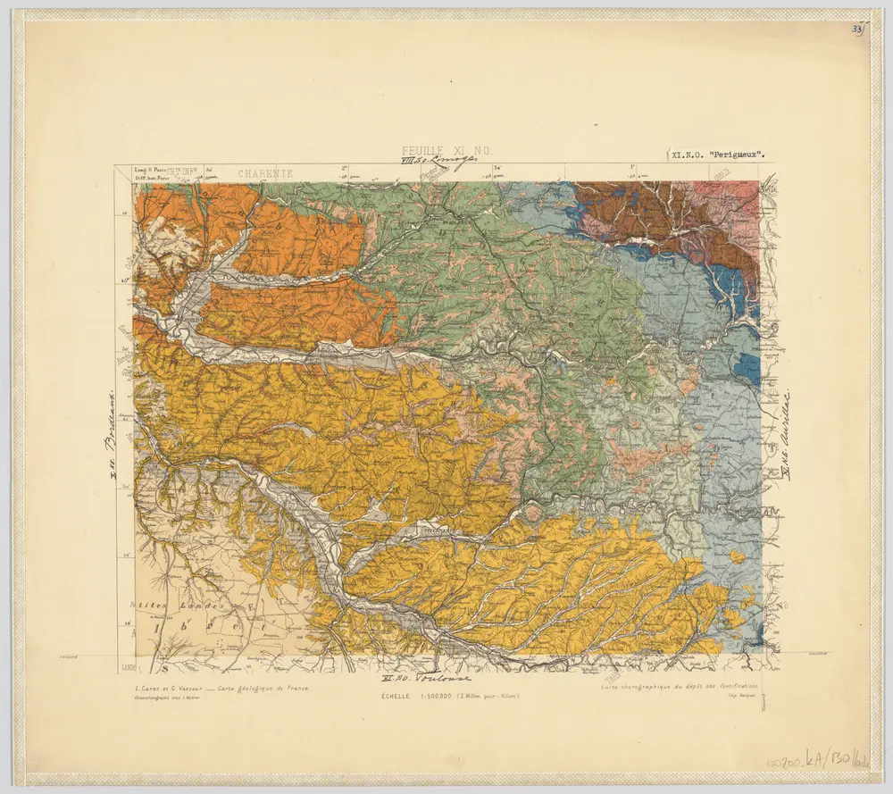
33) XI.N.O. ''Perigueux'', uit: Carte géologique de France
1885
[S.l : s.n.]
1:500k
Partie orientale du gouvernement général de la Guienne
1753
Robert de Vaugondy
Les généralitéz de Montauban et de Toulouse, 1
1781
Dezauche
[Rodez]
1781
s.n.
Gouvernement general de Languedoc qui comprend deux generalitéz sçavoir la generalité de Toulouse et celle de Montpellier, 1
1781
Jaillot
Gouvernement general de Languedoc qui comprend deux generalitéz sçavoir la generalité de Toulouse et celle de Montpellier, 1
1720
Jaillot