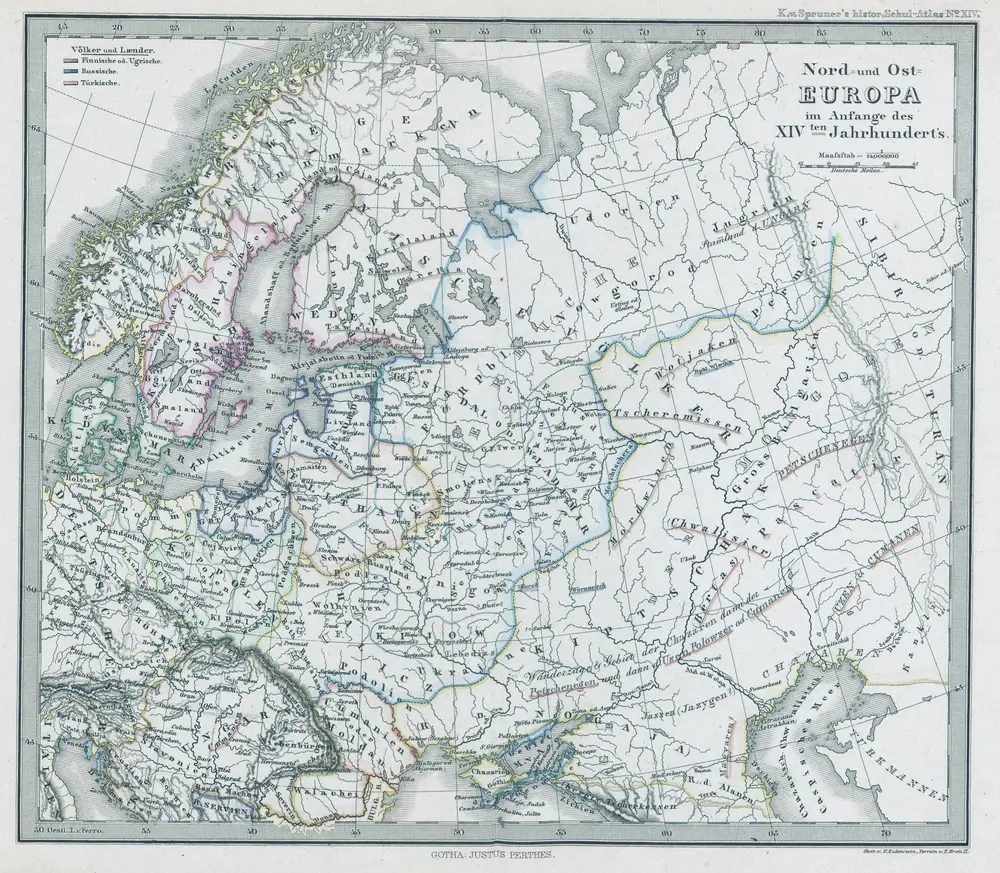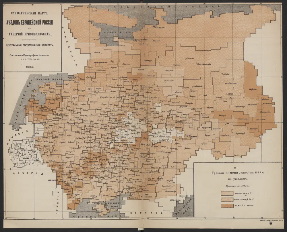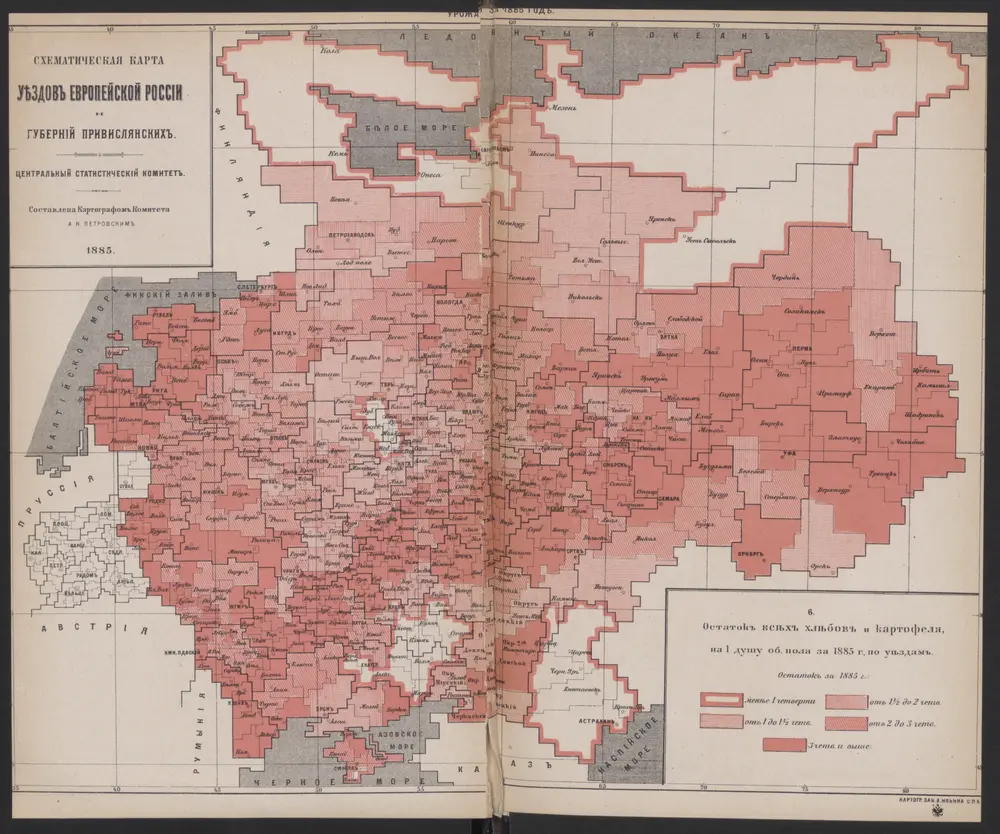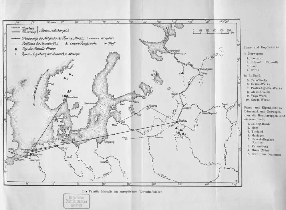
Maps of Europe

Maps of Europe

$title$

$title$

European Russia.

1 : 8700000 Andree, Richard; Times (London, England)
$title$

Europaisches Russland.

1 : 8700000 Andree, Richard
$title$

Composite: Russia, Finland.

1 : 6000000 John Bartholomew and Son
$title$

Russie d'Europe.

1 : 7800000 Lapie, M. (Pierre), 1779-1850
$title$

Russie et Pays Scandinaves.

1 : 960000 Jouvet et Cie.
$title$

Mapa slovanského světa

$title$

Russie, Pologne.

1 : 9000000 Andriveau-Goujon, J.
$title$

Mapa slovanského světa

$title$

Soubor němých map pro gymnasia a odborné školy

$title$

Kaiserthum Russland in Europa

$title$

Mapa slovanského světa

$title$

Volkerkarte von Russland.

1 : 13300000 Andree, Richard
$title$

Russischen Reichs, Europaischen Antheils.

1 : 13300000 Haller von Hallerstein, Friedrich; Reichard, C. G.
$title$

Russie d'Europe, Pologne.

1 : 8000000 Levasseur, E.
$title$

Russia cum confiniis. [Karte] Russiae Pars Amphicata [Nebenkarte], in: Atlas, sive, Cosmographicae meditationes de fabrica mundi et fabricati figura, S. 153.

1 Karte aus Atlas Mercator, Gerhard
$title$

Novissima Russiae Tabula [Karte], in: Gerardi Mercatoris et I. Hondii Newer Atlas, oder, Grosses Weltbuch, Bd. 1, S. 124.

1 Karte aus Atlas Mercator, Gerhard und Hondius, Jodocus Jansson, Jan
$title$

Tabula Russiae [...] [Karte] Moscua [Planvedute, [Nebenkarte], in: Novus Atlas, das ist, Weltbeschreibung, Bd. 1, S. 55.

1 Karte aus Atlas Blaeu, Joan Blaeu, Willem Janszoon
$title$

66-67. Russia.

1 : 7500000 Touring club italiano
$title$

Novissima Russiæ tabula / authore Isaaco Massa

1 : 8500000 Annotatie: Rechtsboven genummerd: VI; Met opdracht van Hondius aan Isaac Bernart; Origineel is Blad 135 in atlas factice; Annotatie geografische gegevens: Met 2 schaalstokken Isaac Abrahamszoon Massa 1586-1643; Henricus Hondius 1573-1650 [Amsterdam, Londen : apud Janssonio-Waesbergios, et Mosem Pitt]
$title$

A map of Russia / [John Speed] ; F. Lamb sculp

1 : 7454000 1 Karte : Kupferdruck ; 39 x 49 cm Speed, John Sold by Tho. Basset in Fleetstreet and Richard Chiswell in St. Pauls Church yard
$title$

Russia

1 : 9904000 Colton, G. Woolworth
$title$

Russia cum confiniis. [Karte] Russiae Pars Amphlificata [Nebenkarte], in: Gerardi Mercatoris Atlas, sive, Cosmographicae meditationes de fabrica mundi et fabricati figura, S. 158.

1 Karte aus Atlas Mercator, Gerhard Montanus, Petrus
$title$

Moscoviae seu Russiae magnae generalis tabula quâ Lapponia, Norvegia, Suecia, Dania, Polonia / de n

1 : 9100000 1 Karte : Kupferdruck ; 40 x 51 cm Visscher, Nicolaes [Nicolaes Visscher]
$title$

Etnografska karta na slavjanstvoto v Evropa

1 : 5000000 Evropa východní Florinskij, Timofej Dmitrijevič Slavjanska besěda
$title$

Russia in Europe

1 : 10000000 1 Karte : mehrfarbig ; 42 x 31 cm John Bartholomew
$title$

Russland und Skandinavien

Adolf Stieler's Handatlas über alle Theile der Erde und über das Weltgebäude Stieler, Adolf Justus Perthes
$title$

$title$

Russland

Volksschul-Atlas über alle Teile der Erde Lange, Henry Druck und Verlag von Georg Westermann
$title$

Acquisitions of Russia in Europe, Central Asia.

1 : 9800000 Stanford, Edward
© MapTiler © OpenStreetMap contributors
How does it work?
These instructions will show you how to find historical maps online.
Getting started
Type the place name in the search box to find the exact location. You can further adjust the search by zooming in and out.
Zoom
Zoom in and out with the buttons or use your mouse or touchpad natively.
Exact Area tool
Click here and draw a rectangle over the map to precisely define the search area.
Set filters
Narrow your search with advanced settings, such as Years (from/to), Fulltext, Publisher, etc.
Results
See the results of your search on the right side. You can scroll down to find more maps of this location.
?

Download OldMapsOnline Mobile