Cataloged map


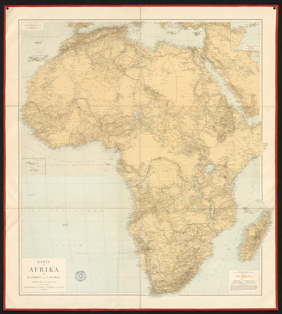
Karte von Afrika
1884
Andree, Richard Scobel, Albert
1:10m
Di-gyiu Du, Ng Da-tsiu Di-du[地舆图、五大洲地图]
1853
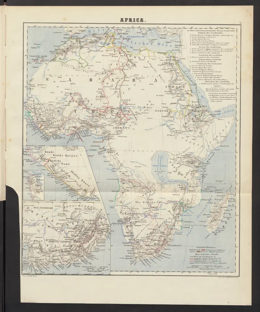
Africa
1859
Locher; Gross, Rudolf
Afrika von R. Andree und A. Scobel
1890
Andree, Richard
1:10m
萬國通鑑:亞非利加
1892
Sheffield, Devello Zelotos 謝衛樓
Accuratissima totius Africæ tabula
1710
Sandrart; Homann
地理志略:亞非利加
1903
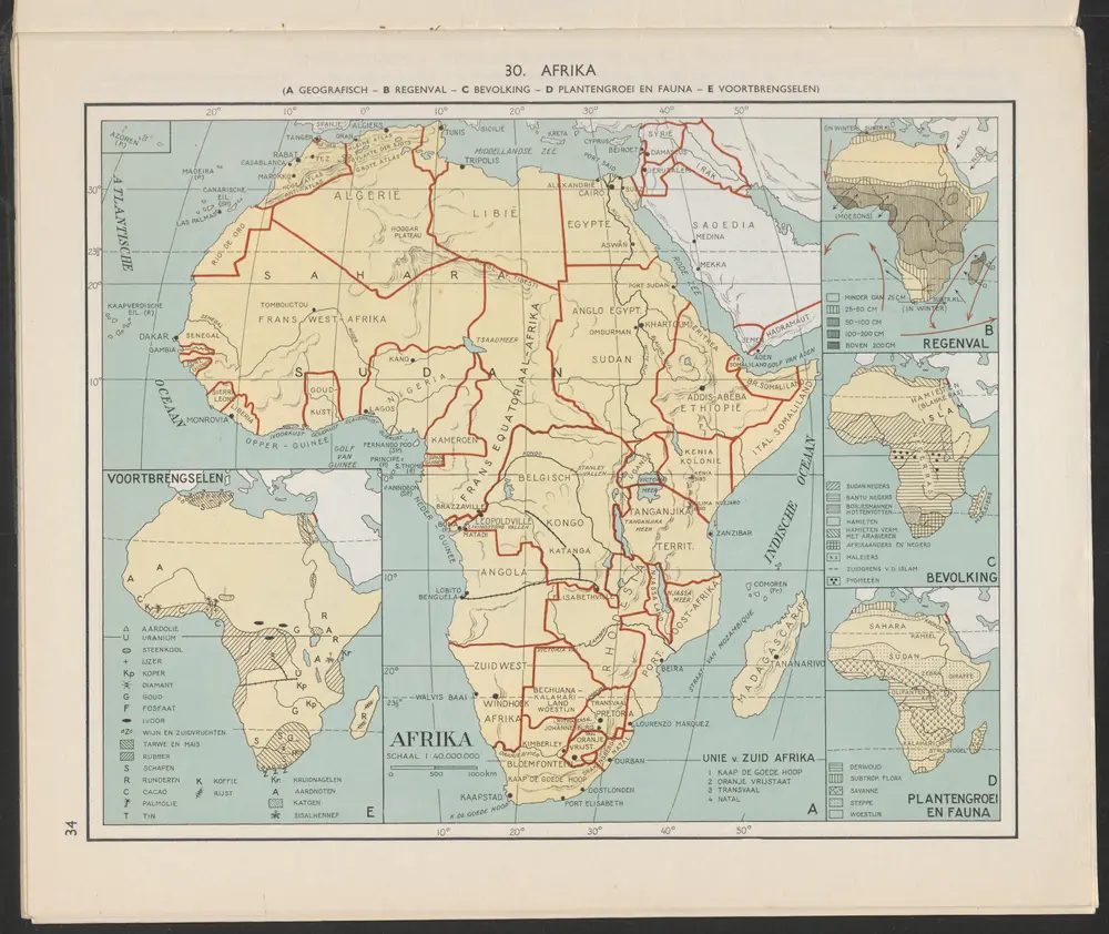
Afrika [A]
1956
Arnoldus Johannes Cornelius Krafft (1892-)
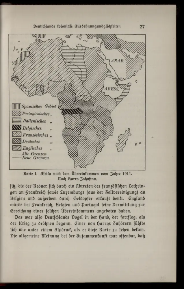
Karte I: Afrika nach dem Übereinkommen vom Jahre 1914
1914
Africa poly-glotta scribendi modos gentium exhibens
1818
Hensel