Maps of Carpathian Mountains

Maps of Carpathian Mountains

$title$

$title$

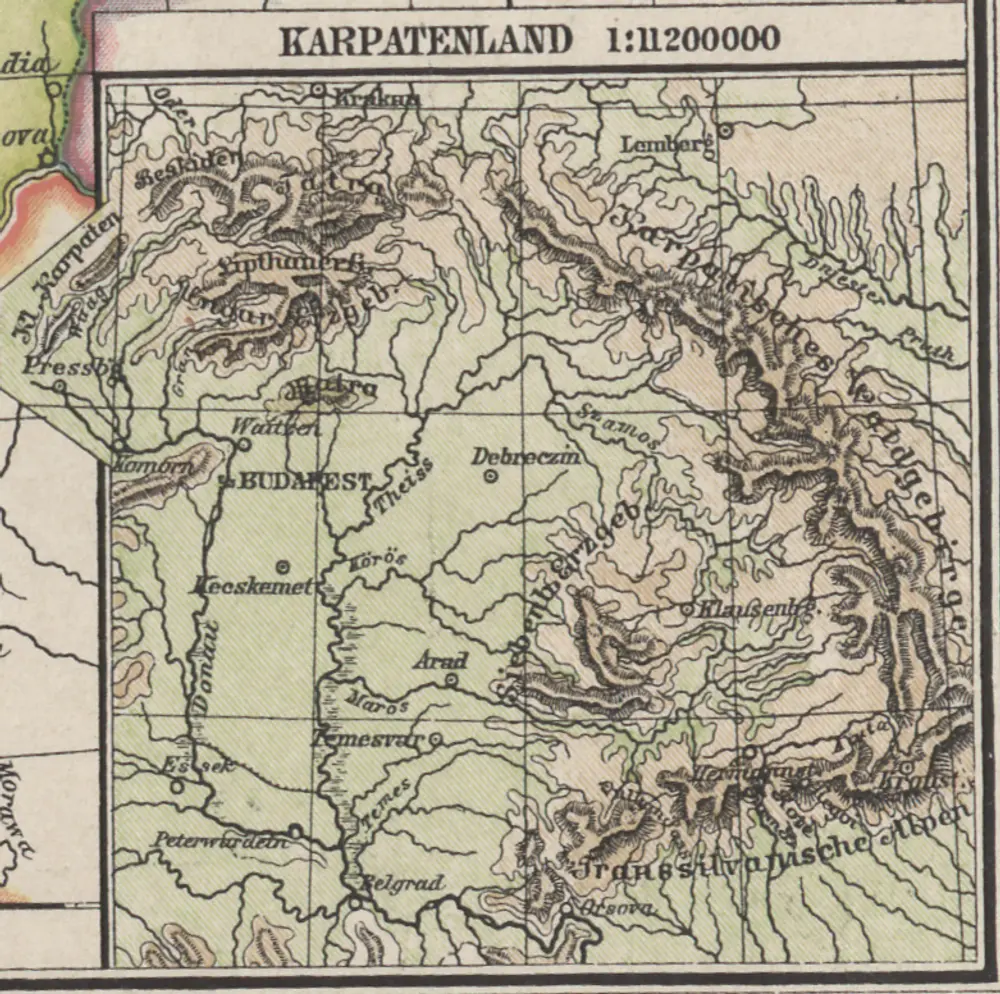
Karpaten-Länder

Donau-Karpaten-Gebiet
$title$

Karpatenländer, politische Übersicht

1 : 6000000 Donau-Karpaten-Gebiet
$title$

Karpatenländer, Flusz- & Gebirgskarte

1 : 6000000 Donau-Karpaten-Gebiet
$title$

Ungarn und seine Nebenlande bis zum Aussterben Arpadischen Stammers 1301.

1 : 3800000 Spruner von Merz, Karl
$title$

Der Donauraum

1 : 1500000 Dunaj-oblast Justus Perthes
$title$

$title$

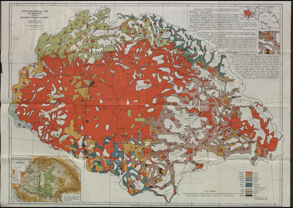
Ungarn nach dem Ersten Weltkrieg

Ungarn Weltkrieg <1914-1918>, Grenze
$title$

Die Laender an der untern Donau Vten.-Xte. Jahrhundert.

1 : 3800000 Spruner von Merz, Karl
$title$

Ungarn und seine Nebenlande vom Regierungs-Antritte des Hauses Anjou bis zur Schlacht von Mohacs 1526.

1 : 3800000 Spruner von Merz, Karl
$title$

Hvngaria Magna In Regna et Prouincias diuisa

1 : 7400000 Mollova mapová sbírka
$title$

Prochaska ́s Neue Eisenbahnkarte von Österreich-Ungarn für 1898

$title$

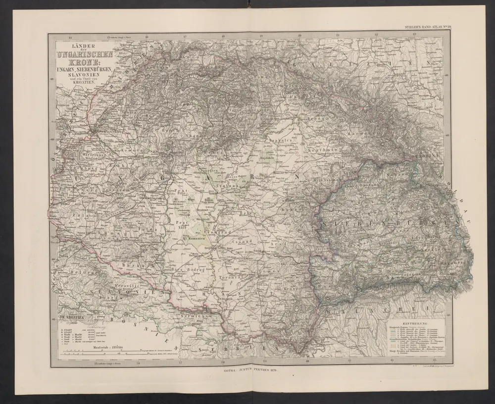
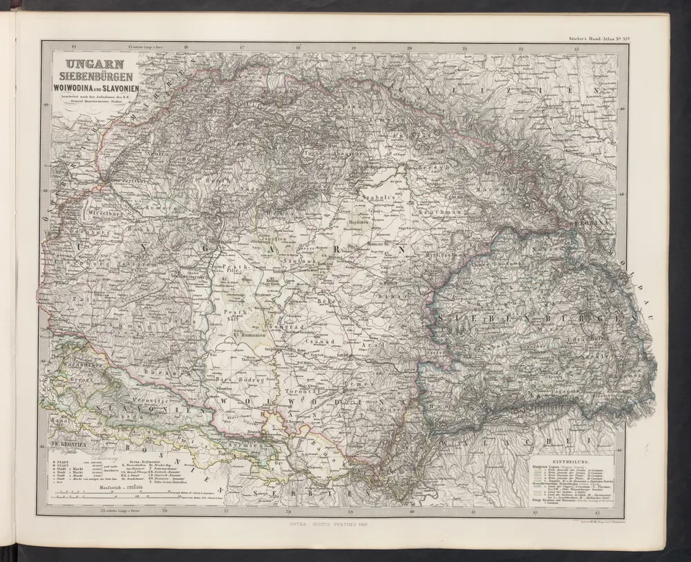
Galizien, Ungarn mit Slavonien und Croatien, Siebenbürgen und Dalmatien, Moldau, Wallachey

1 : 3700000 Chorvatsko Justus Perthes
$title$

General Charte von Ungarn

1 : 2390000 Bukovina (Rumunsko a Ukrajina) Güssefeld, Franz L. Rausch, Johann Lorenz Jakob bey den Homannischen Erben
$title$

Ungarn und seine sudlichen Nachbarlander seit 1526.

1 : 3800000 Spruner von Merz, Karl
$title$

Dacie, Pannonie, Illyrie, Moesie Ancienne.

1 : 2886000 Levasseur, E.
$title$

Oesterreichisch-ungarische Monarchie

1 : 2500000 Rakousko-Uhersko Geographisches Institut
$title$

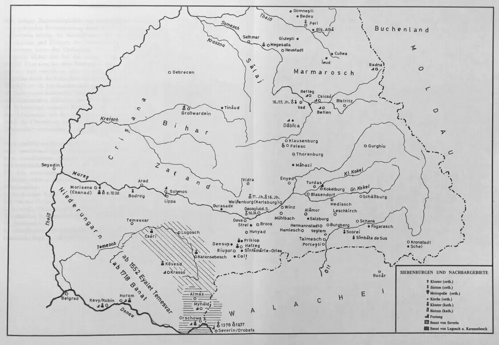
Ungarn und seine Nebenlande nach ihrer kirchlichen Eintheilung bis in das XVte. Jahrhundert.

1 : 3800000 Spruner von Merz, Karl
$title$

Eisenbahn-Karte der oesterreichisch-ungarischen Monarchie

1 : 1228000 Budapešť (Maďarsko : oblast) Beer, Josef A. Hartleben
$title$

Karte der politischen Justiz- und Militär- Verwaltungsbezirke im Kaiserthume Oesterreich

Evropa jihovýchodní Schnabel, Jiří Norbert Machek, A.
$title$

Österreich-Ungarn. Völker

1 : 9000000 Österreich-Ungarn Ethnische Gruppe
$title$

Karte der wichtigsten Eisenbahnen Österreich-Ungarns und den angrenzenden Gebiete

1 : 6000000 Rakousko-Uhersko Rothaug, Johann Georg F. Tempsky
$title$

Le royaume de Hongrie

1 : 260000 Uhersko Delisle, Guillaume Covens et Mortier
$title$

Le Royaume de Hongrie...

$title$

General Karte des Österreichischen Erb-Kaiserthums

1 : 2470000 Evropa jihovýchodní Mollo, Tranquillo T. Mollo
$title$

Die Donaustaaten

1 : 2500000 Dunaj-oblast Steinhauser, Anton Peucker, Karl Artaria
$title$

Pannonien zur Zeit des Svatopluk 895

1 : 15000000 Pannonien Swatopluk I., Mähren, Herzog
$title$

Die Donaustaaten

$title$

Le Royaume de Hongrie

1 : 2400000 Mollova mapová sbírka Valk, Gerhard Valck, Gerard
$title$

Südosteuropa mit den von 1919 bis 1938 geltenden Staatsgrenzen

Südosteuropa Grenzen
© MapTiler © OpenStreetMap contributors
How does it work?
These instructions will show you how to find historical maps online.
Getting started
Type the place name in the search box to find the exact location. You can further adjust the search by zooming in and out.
Zoom
Zoom in and out with the buttons or use your mouse or touchpad natively.
Exact Area tool
Click here and draw a rectangle over the map to precisely define the search area.
Set filters
Narrow your search with advanced settings, such as Years (from/to), Fulltext, Publisher, etc.
Results
See the results of your search on the right side. You can scroll down to find more maps of this location.
?

Download OldMapsOnline Mobile