Mapa catalogado


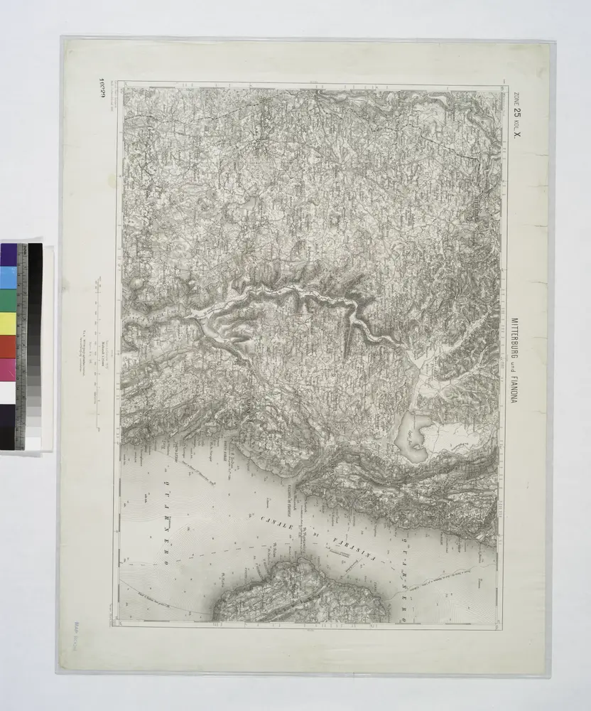
Mitterburg und Fianona.
1914
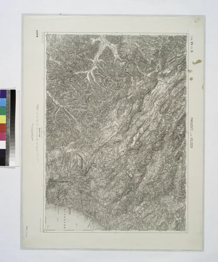
Pinguent und Volosca.
1914
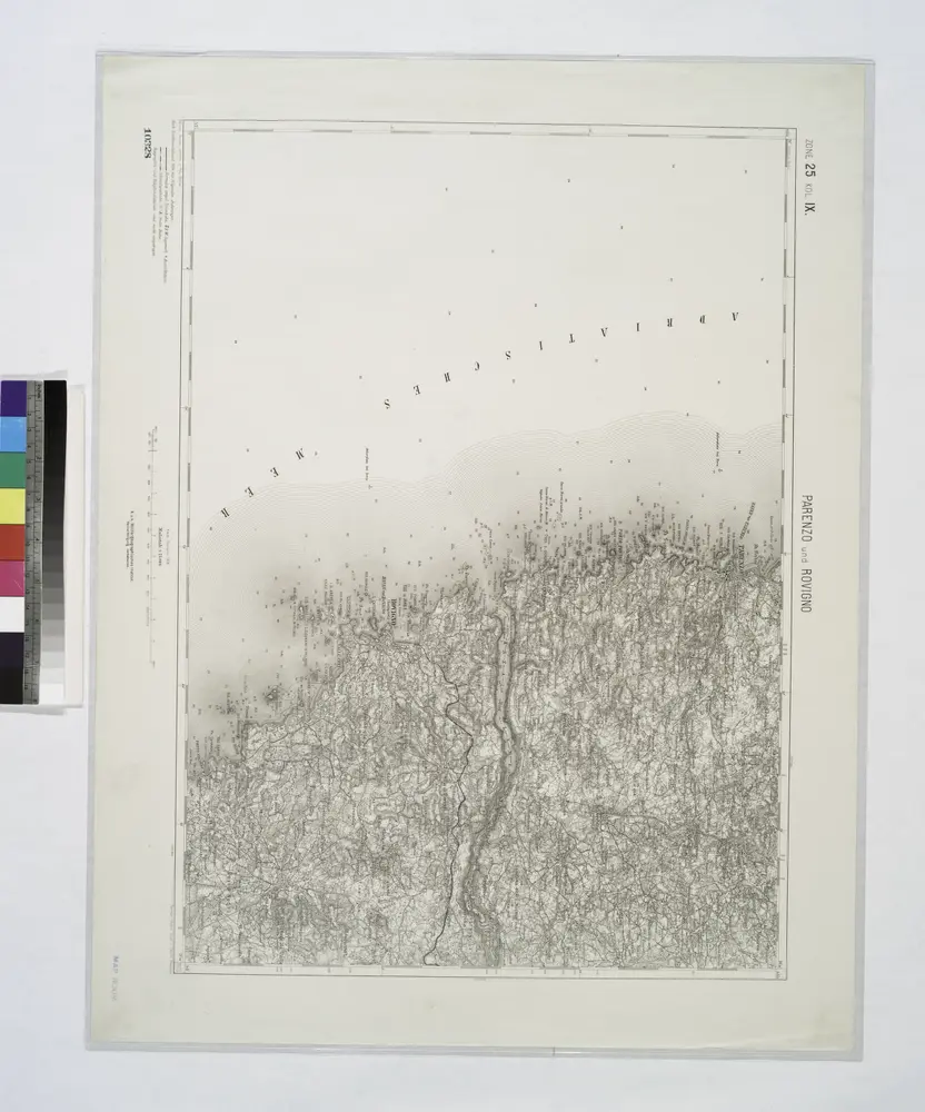
Parenzo und Rovigno.
1914
Adriatisches Meer, Küstenkarte
1907
Oesterreicher, Tobias von
1:180k
Adriatisches Meer, Küsten-Karte
1903
Oesterreicher, Tobias von
1:180k
Istrien
1905
Hydrographisches Amt der K. u. k. Kriegsmarine, Seekartendepot
1:60k
Istrien
1902
Hydrographisches Amt der K. u. k. Kriegsmarine, Seekarten-Depot
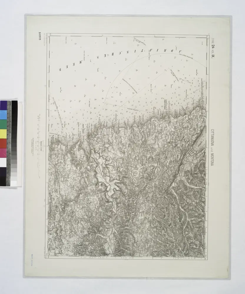
Cittanuova und Montona.
1914
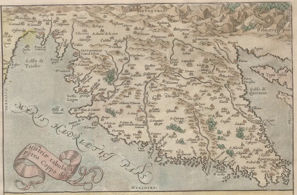
Histriae tabula
1588
Coppo. Pietro
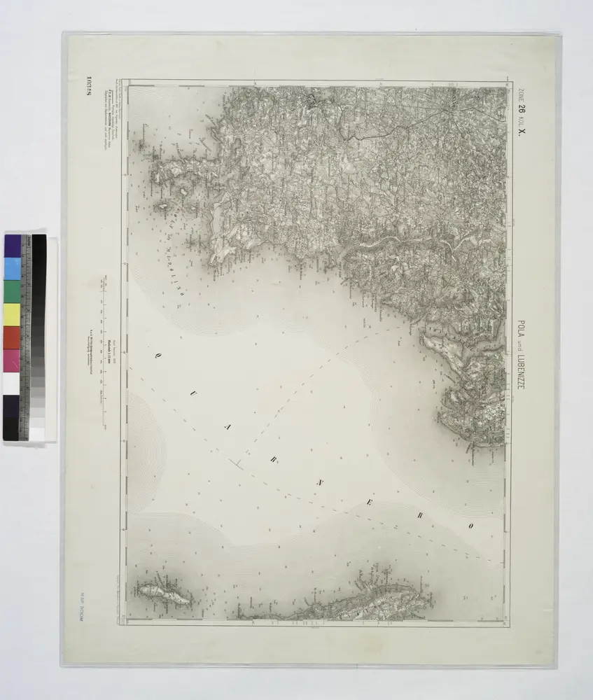
Pola und Lubenizze.
1914