Mapa catalogado
n/a


Título completo:n/a
Año de ilustración:1791
Fecha de publicación:1791
Tamaño físico:20 x 30 cm
n/a
1791
[Fontainebleau - Etampes]
1758
s.n.
n/a
1791
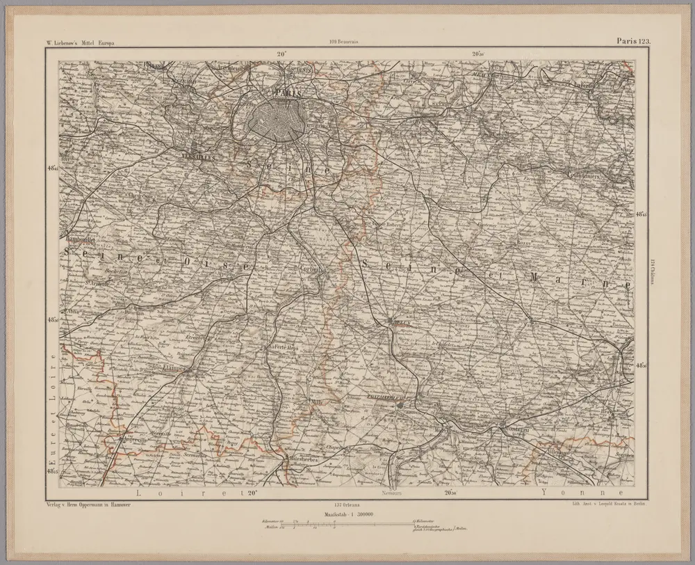
Paris 123, uit: [W. Liebenow's Special-Karte von Mittel-Europa]
1870
Johannes Wilhelm Liebenow 1822-1897
1:300k
n/a
1791
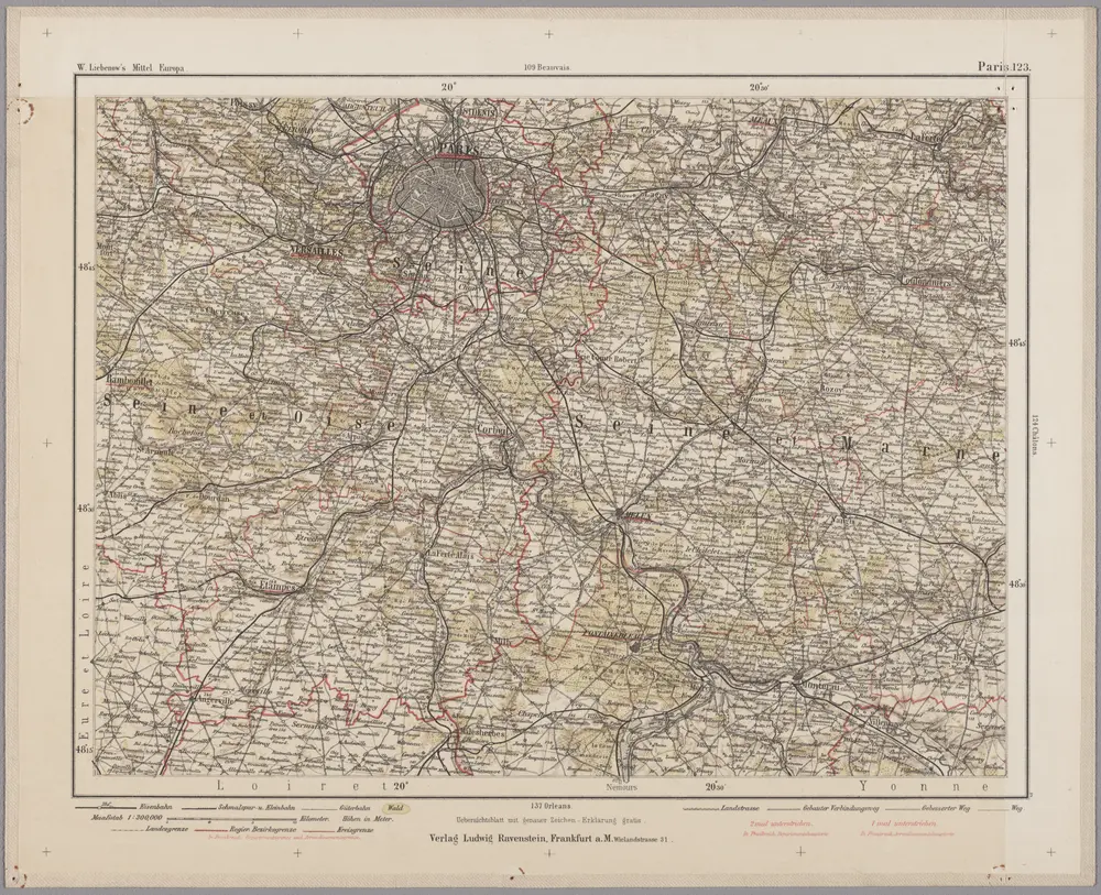
Paris 123, uit: Special-Karte von Mittel-Europa / nach amtlichen Quellen bearbeitet von W. Liebenow
1899
Johannes Wilhelm Liebenow 1822-1897
1:300k
Senones
1740
Sanson; Robert de Vaugondy
Les environs de Paris, 2
1748
Nolin
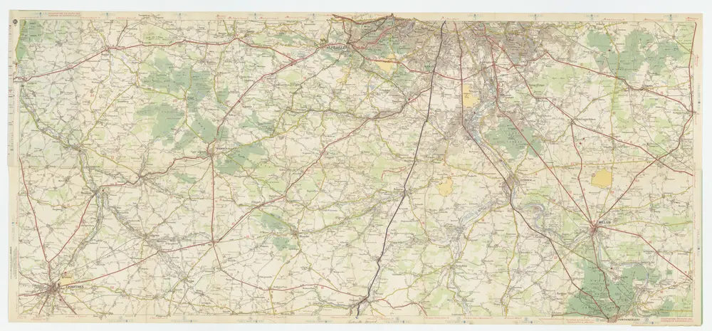
[Michelin 95], uit: Environs de Paris : carte des curiosités et des routes pittoresques
1946
Paris : Services du Tourisme Michelin
1:100k
n/a
1791