Cataloged map


n/a
1791
Mapa de la provincia de Toledo
1768
López
n/a
1791
Mapa de la provincia de Madrid
1773
López
n/a
1791
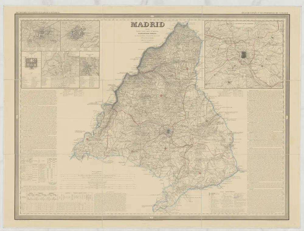
Madrid
1853
Coello, Francisco
1:200k
Provincia de la Mancha donde se comprehenden los partidos de Ciudad-Real, Infantes, y Alcaràz
1765
López
n/a
1791
n/a
1791
Segoviæ et Avilæ provinciarum charta geographica
1799
López; Güssefeld; Vogel