编目地图


Territorium reipublicæ liberæ helveticae Scaphvsiensis
1770
Walser; Peyer
Ditionis pagi Scaphusiani, qui confœderatæ Helvetiorum reipublicæ pars est descriptio geographica
1809
Seutter; Lotter; Probst
Territorium reipublicae liberae helveticae Scaphvsiensis
1753
Walser; Peyer
Territorium reipublicae liberae helveticae Scaphvsiensis
1753
Walser; Peyer
Ditionis pagi Scaphusiani, qui confœderatæ Helvetiorum reipublicæ pars est descriptio geographica
1740
Seutter; Lotter
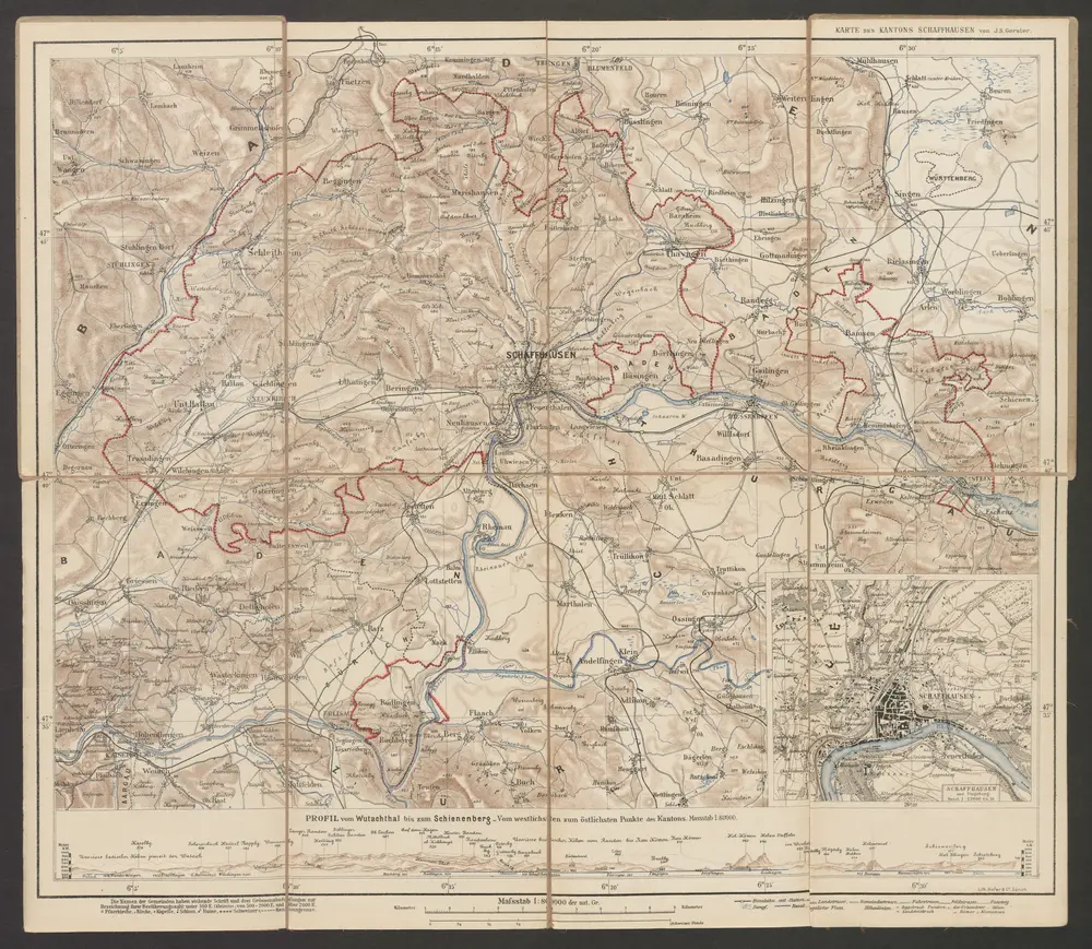
Karte des Kantons Schaffhausen
1897
Gerster, Johann Sebastian
1:80k
n/a
1791
Carte du canton de Schafhausen
1780
Clermont; Peyer; Perrier
Schaffhauser Gebiet samt den Grenzen und umligenden Orten
1747
Peyer; Albertin
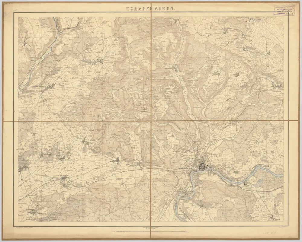
Schaffhausen
1894
[S.l. : Eidg. topogr. Büreau] / (Bern : Kümmerly)
1:25k