Cataloged map
Banjoewangi / prepared under the direction of the Chief of Engineers, U.S. Army by the Army Map Service

Full title:Banjoewangi / prepared under the direction of the Chief of Engineers, U.S. Army by the Army Map Service
Depicted:1944
Publisher:Washington D.C. : Army Map Service
Physical Size:20 x 30 cm
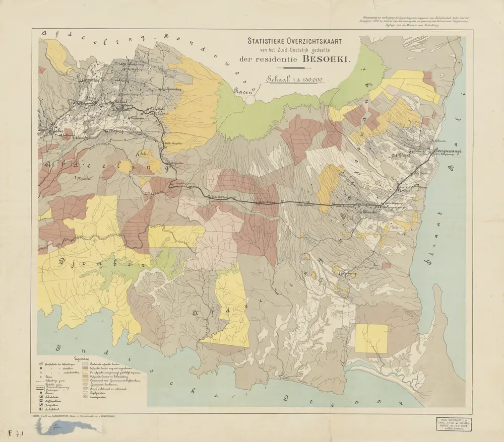
Statistieke Overzichtskaart van het Zuid-Oostelijke gedeelte der Residentie Besoeki
1898
['s-Gravenhage : Algemeene Landsdrukkerij]
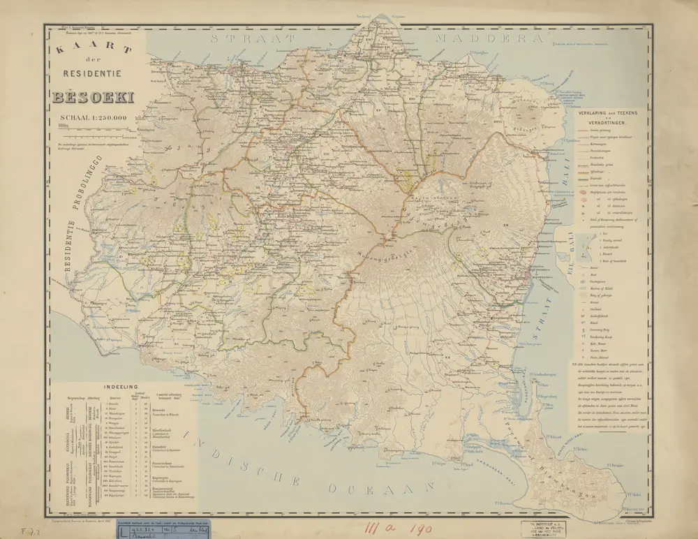
Kaart der Residentie Besoeki / Topographisch Bureau te Batavia, april 1887
1887
Topographisch Bureau Batavia
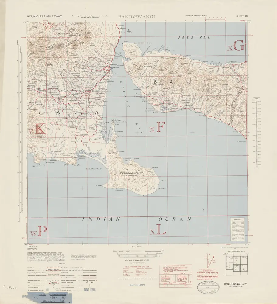
Banjoewangi / prepared under the direction of the Chief of Engineers, U.S. Army by the Army Map Service
1944
Army Map Service Washington D.C.
[Rogojampi]
1896
Joh. C. Stemler Cz.
1:200k
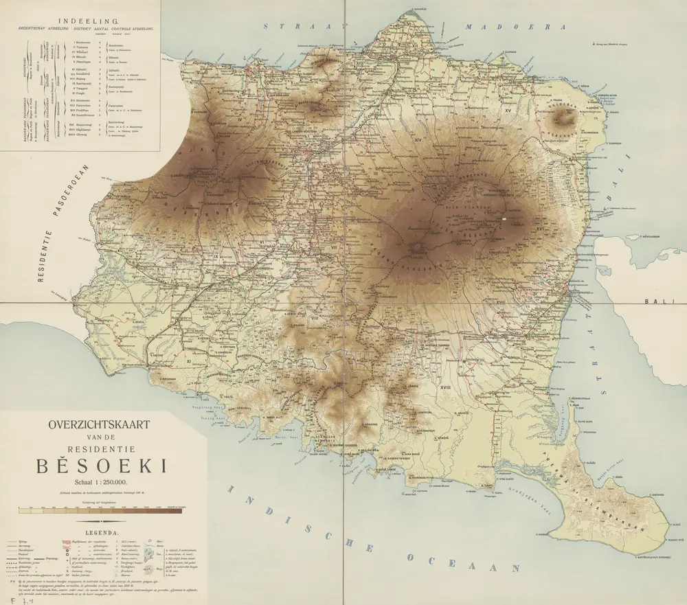
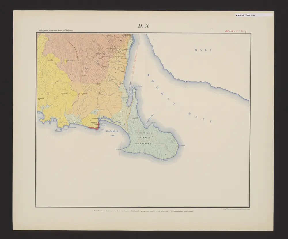
Overzichtskaart van de Residentie Besoeki / Topographisch Bureau
1911
Topographisch Bureau Batavia
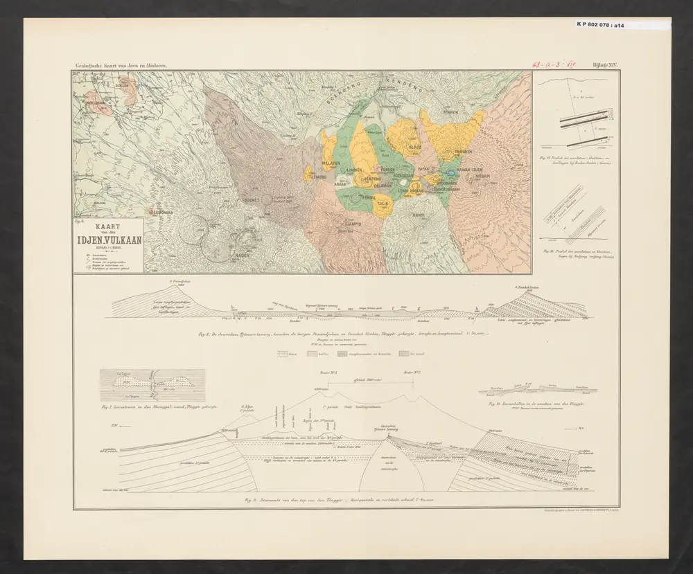
[Kaart van den Idjen-Vulkaan]
1896
Verbeek, R. D. M.

Idjen Hoogland en Bali = Idjen Highland and Bali / Reproductiebedrijf Topografische Dienst, Batavia
1932
Topografische Dienst Batavia
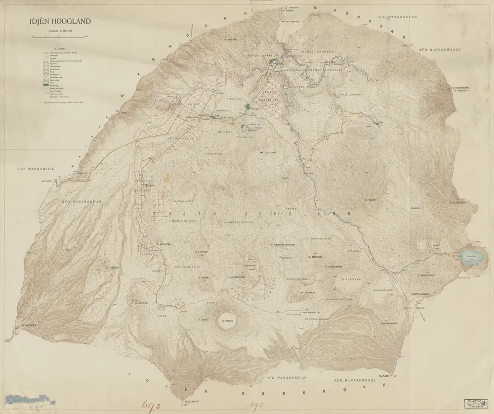
Idjen Hoogland / Top[ografische] Inr[ichting]
1920
Topografische Inrichting Batavia
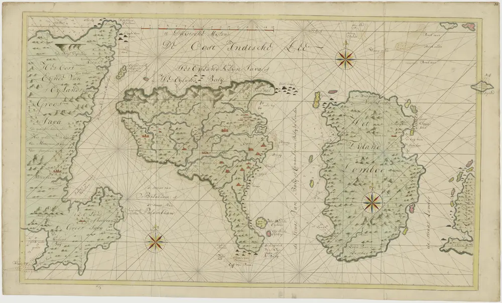
Kaart van Bali en Lombok
1800
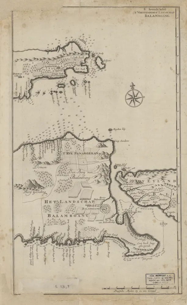
t Vorstendom of Landschap Balamboang
1726
[te Dordrecht : by Joannes van Braam]