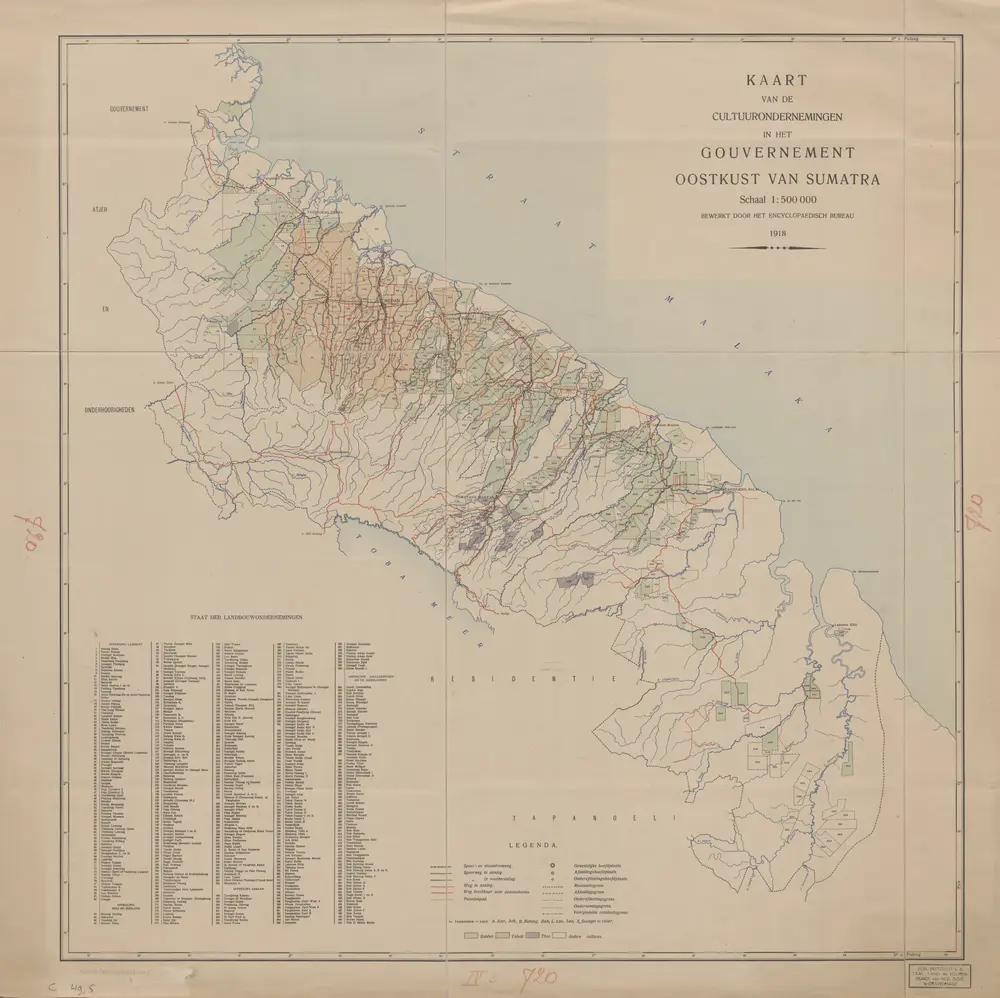
Maps of Tarutung

Maps of Tarutung

$title$

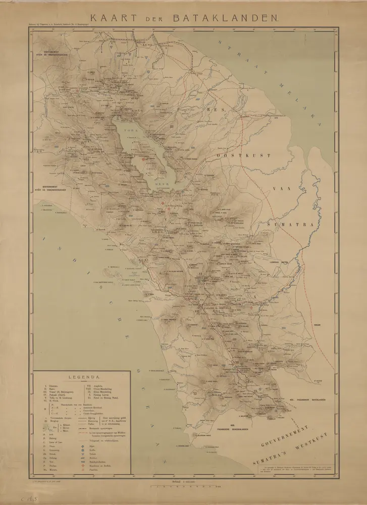
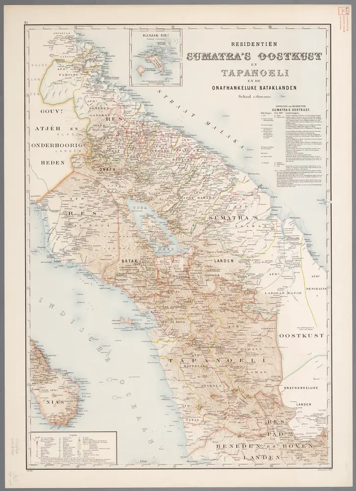
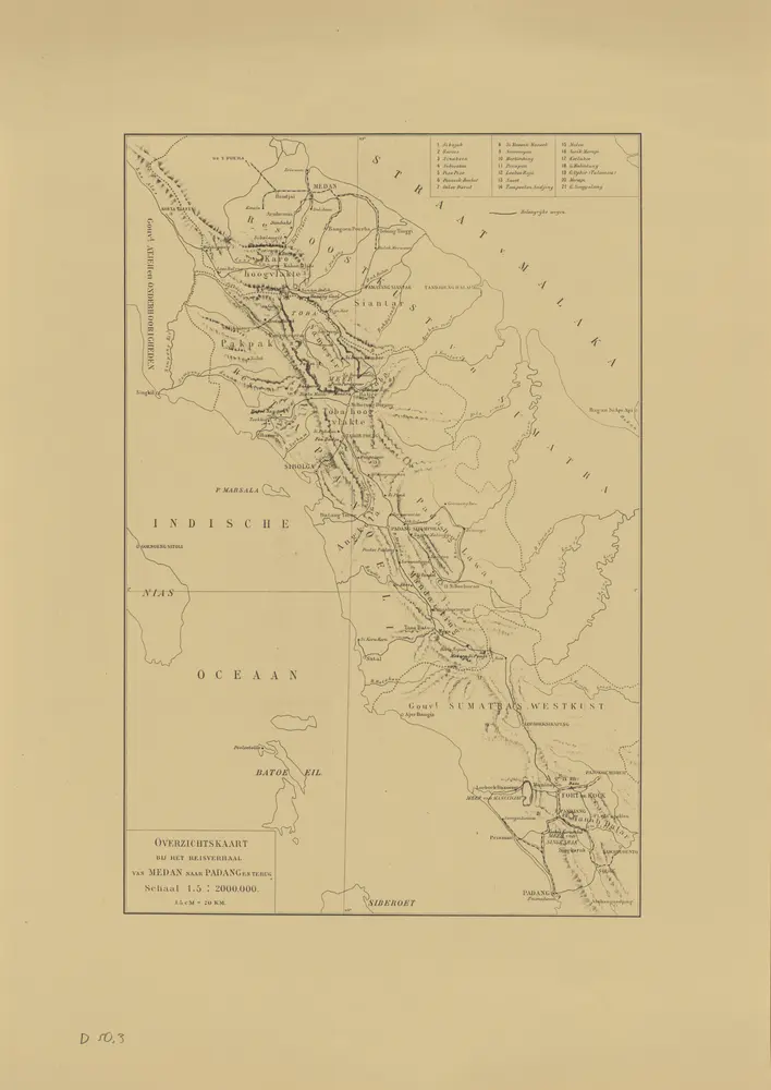
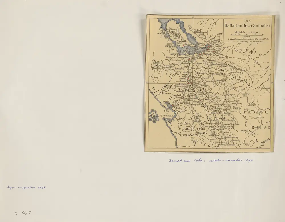
Die Batta-Lande auf Sumatra

$title$

Kaart van het Tobameer en het Landschap Silindoeng : volgens opnemingen van de Rijnlandsche Zendelingen

Aardrijkskundig Genootschap Amsterdam Amsterdam : C.L. Brinkman
$title$

[Gebied ten Noordwesten van Taroetoeng]

$title$

Rantauparapat / published by War Office = uitgegeven door War Office ; revised and photolithographed by War Office

War Office Washington D.C. [Washington D.C.] : War Office
$title$

Padangsidimpoean / published by War Office = uitgegeven door War Office ; revised and photolithographed by War Office

War Office Washington D.C. [Washington D.C.] : War Office
$title$

Peta Kabupaten Tapanuli Tengah / [Kantor Inspeksi Landuse Sumatera Utara]

Kantor Inspeksi Landuse Sumatera Utara Medan [Medan : Kantor Inspeksi Landuse Sumatera Utara]
$title$

Habinsaran / [door] L. Weber, Kapitein bij den Generalen Staf

Topographische Inrichting Batavia Batavia : Top[ographische] Inr[ichting]
$title$

Habinsaran : behoort bij de Militaire Memorie van Habinsaran / [L. Weber]

Encyclopaedisch Bureau Batavia [Batavia] : Encyclopaedisch Bureau
$title$

Nell' Isola di Sumatra dal Lago di Toba a Bandar Pulo / del Dott. Elio Modigliani

Sociéta Geografica Italiana Roma [S.l. : s.n.]
$title$

Habinsaran

$title$

Schetskaart van de Onderafdeeling M[eer] van Toba

$title$

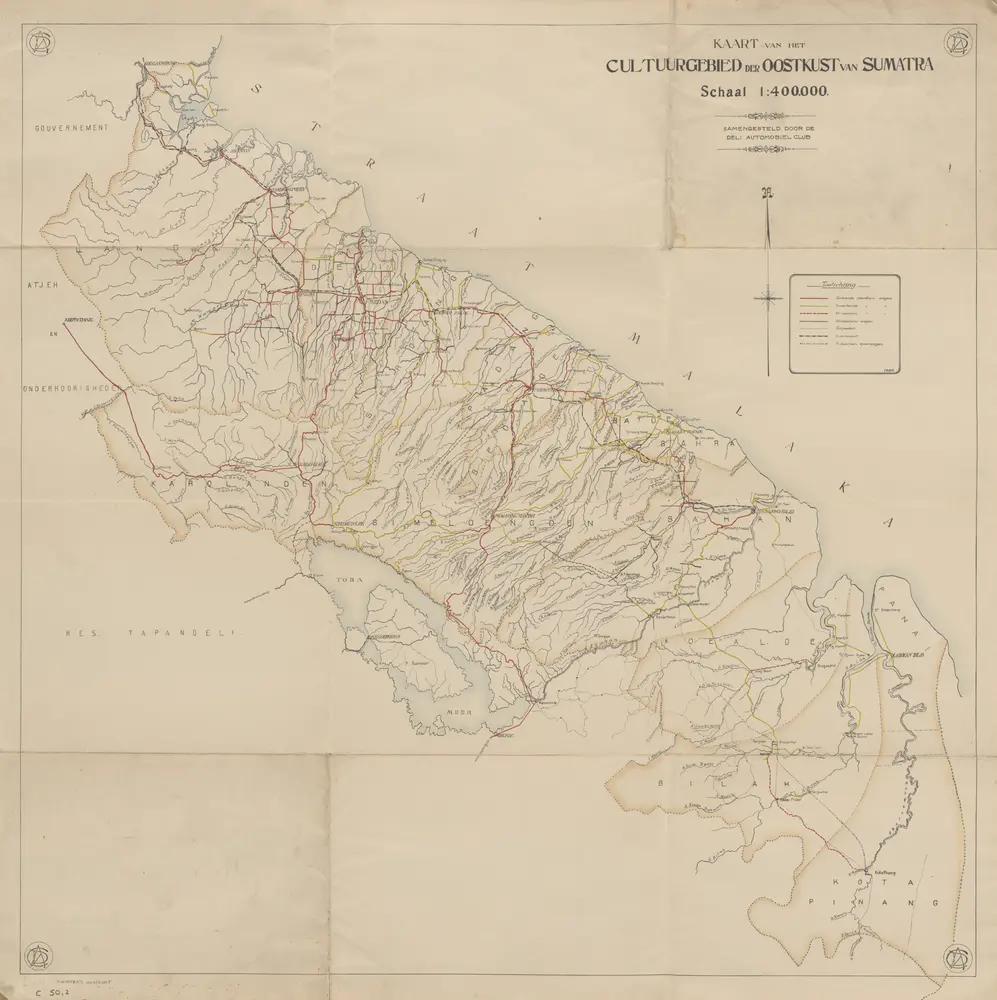
Kaart van de wegen naar de Asahan-Watervallen / samengesteld door de Deli Automobiel Club

Deli Automobiel Club (DAC) Medan [Medan] : Deli Automobiel Club
$title$

Situatie van het Toba Meer / Watersportvereeniging 'Prapat'

Watersportvereeniging 'Prapat' [Prapat] : Watersportvereeniging 'Prapat'
$title$

[Kaart van het gebied rond Si Manampang en Si Manggir]

$title$

[Wegen- en rivierenkaart van het gebied tussen Dolok Oetoes en Dolok Sipahoetoe]

$title$

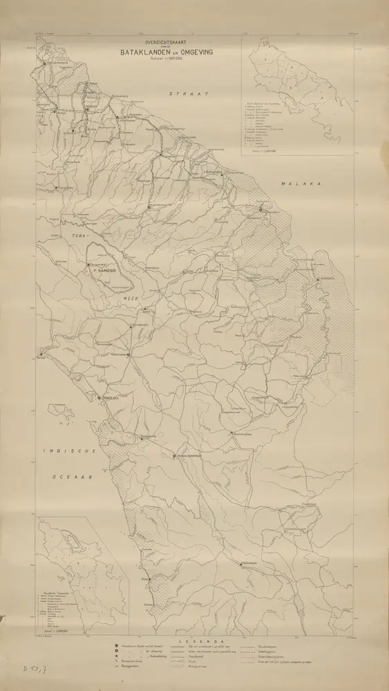
De omgeving van het Toba-Meer en de Onderafdeeling Samosir

[S.l. : s.n.]
$title$

Schetskaart van de Onderafdeeling Samosir / [Ch.F.H. Welter]

$title$

[D[olo]k Tindjolaoetan] : opgenomen door den Topografischen Dienst in 1926-1928

Topografische Dienst Weltevreden (Batavia) Weltevreden (Batavia) : Reproductiebedrijf Topografische Dienst
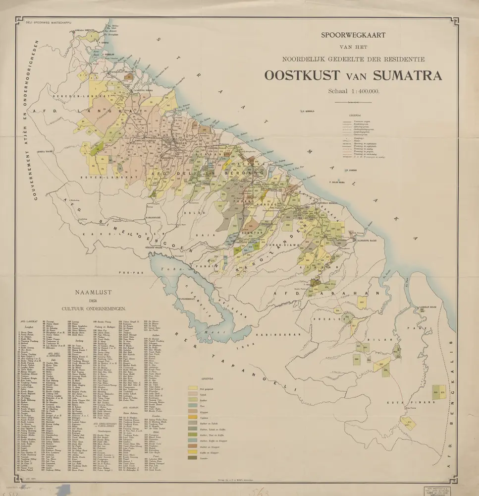
$title$

[Loendoet] : opgenomen door den Topografischen Dienst in 1921-1924

Topografische Dienst Weltevreden (Batavia) Weltevreden (Batavia) : Reproductiebedrijf Topografische Dienst
$title$

Dolok Saoet / prepared under the direction of the Chief of Engineers U.S. Army, 1943

Survey of India Offices Washington D.C. : Survey of India Offices (P.Z.O.)
$title$

[Balige] : opgenomen in 1904-1905 / Topographische Inrichting, Batavia 1907

Topographische Inrichting Batavia Batavia : Topographische Inrichting
$title$

Ranto Pandjang / prepared under the direction of the Chief of Engineers U.S. Army by the Army Map Service (NS), U.S. Army 1943 ; published by Survey Production Centre R.E.

Army Map Service U.S. Army Washington Washington D.C. : Survey Production Centre R.E.
$title$

Tapoes / prepared under the direction of the Chief of Engineers U.S. Army, 1943

Survey of India Offices [S.l.] : Survey of India Offices (P.Z.O.)
$title$

[D[olo]k Saoet] : opgenomen in 1902-1906 / Topographische Inrichting, Batavia 1909

Topographische Inrichting Batavia Batavia : Topographische Inrichting
$title$

Goenoeng Toea / prepared under the direction of the Chief of Engineers U.S. Army, 1943

Army Map Service U.S. Army Washington [S.l.] : Survey of India Offices
$title$

[Goenoeng Toea] : opgenomen in 1898-1904 / door het Topographisch Bureau te Batavia uitgegeven in het 1e semester 1906

Topographisch Bureau Batavia Batavia : Topographisch Bureau
$title$

[Tapoes] : opgenomen in 1903-1905 / Topographische Inrichting, Batavia 1906

Topographische Inrichting Batavia Batavia : Topographische Inrichting
$title$

Padang Sidimpoean / prepared under the direction of the Chief of Engineers U.S. Army by the Army Map Service (NS), U.S. Army, 1943

Army Map Service U.S. Army Washington [S.l.] : Survey of India Offices
$title$

Sibolga / prepared under the direction of the Chief of Engineers U.S. Army, by the Army Map Service (NS) U.S. Army, 1943 ; published by Survey Production Centre R.E.

Army Map Service U.S. Army Washington D.C. Washington D.C. : Survey Production Centre R.E.
$title$

[Sibolga] : opgenomen in 1900-1905 / Topographische Inrichting, Batavia 1909

Topographische Inrichting Batavia Batavia : Topographische Inrichting
© MapTiler © OpenStreetMap contributors
How does it work?
These instructions will show you how to find historical maps online.
Getting started
Type the place name in the search box to find the exact location. You can further adjust the search by zooming in and out.
Zoom
Zoom in and out with the buttons or use your mouse or touchpad natively.
Exact Area tool
Click here and draw a rectangle over the map to precisely define the search area.
Set filters
Narrow your search with advanced settings, such as Years (from/to), Fulltext, Publisher, etc.
Results
See the results of your search on the right side. You can scroll down to find more maps of this location.
?

Download OldMapsOnline Mobile