编目地图
[Pasarsorkam] / opgenomen door den Topografischen Dienst in 1933-1934
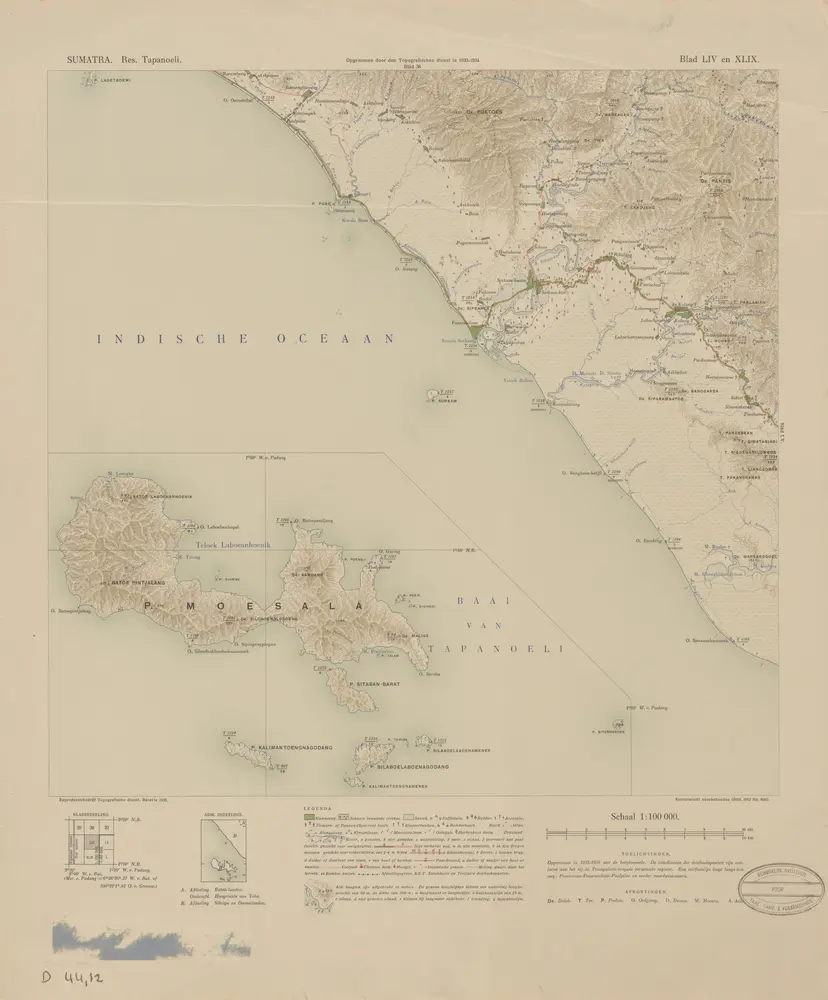

完整标题:[Pasarsorkam] / opgenomen door den Topografischen Dienst in 1933-1934
描述:1935
出版商:Batavia : Reproductiebedrijf Topografische Dienst
物理尺寸:20 x 30 cm
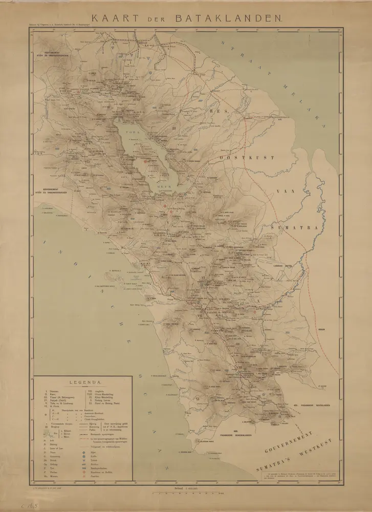
Kaart der Bataklanden
1910
Bataksch Instituut Leiden
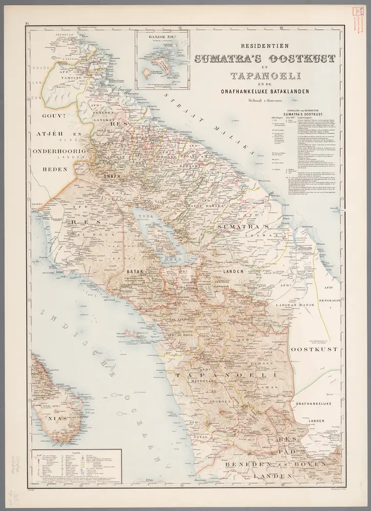
10. Residentiën Sumatra's Oostkust en Tapanoeli, uit: Atlas van Nederlandsch Oost-Indië / samengest. door Topographisch Bureau te Batavia van 1897-1904
1898
Topographisch Bureau, Batavia
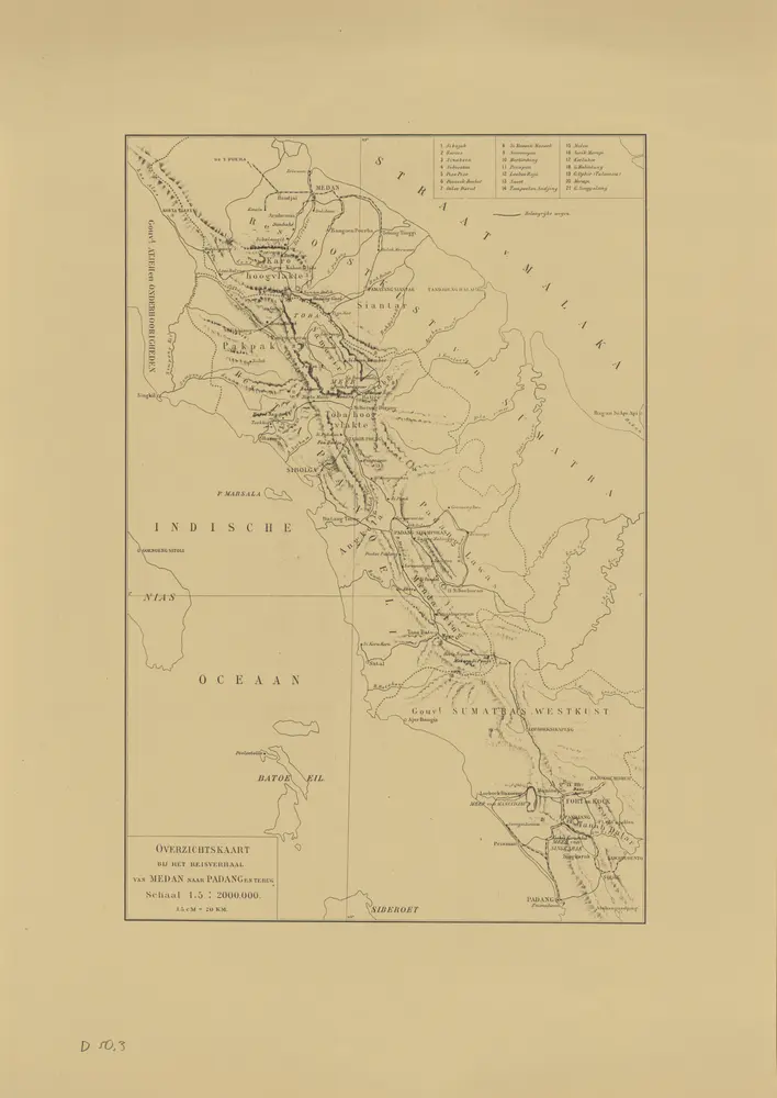
Overzichtskaart bij het reisverslag van Medan naar Padang en terug
1975
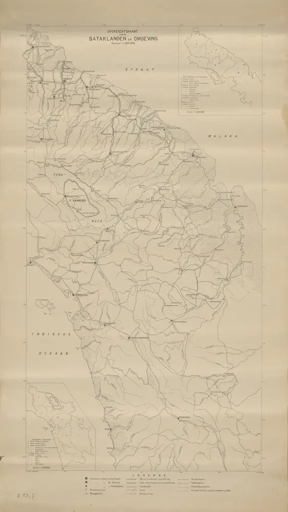
Overzichtskaart van de Bataklanden en omgeving
1925
[S.l. : s.n]
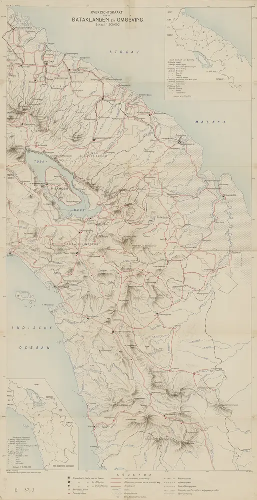
Overzichtskaart van de Bataklanden en omgeving / Topografische Dienst
1927
Topografische Dienst Weltevreden (Batavia)
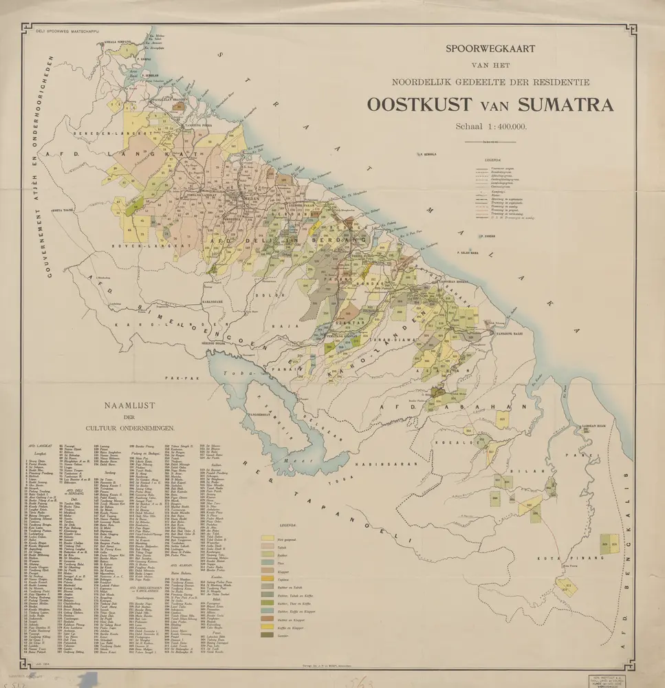
Spoorwegkaart van het noordelijk gedeelte der Residentie Oostkust van Sumatra / Deli Spoorweg Maatschappij
1914
Deli Spoorweg Maatschappij Medan
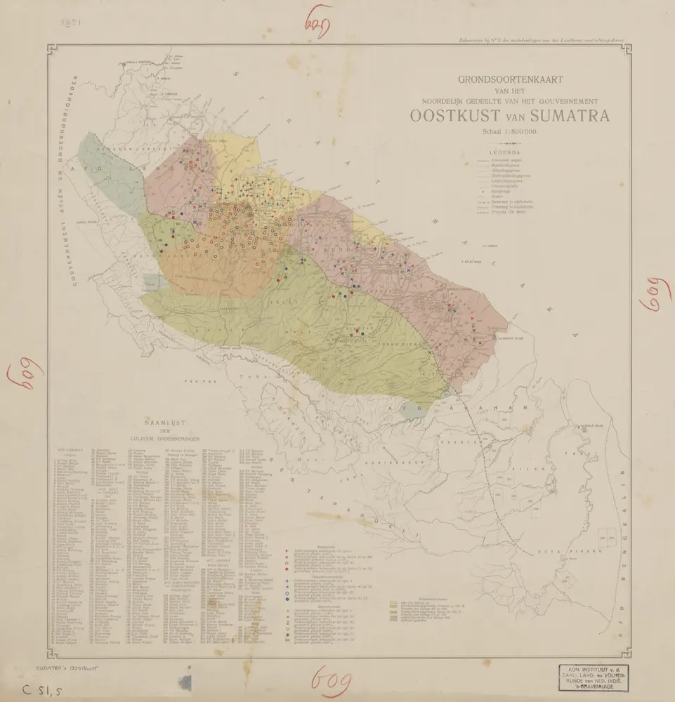
Grondsoortenkaart van het noordelijk gedeelte van het Gouvernement Oostkust van Sumatra / [Landbouwvoorlichtingsdienst, Departement van Landbouw Nijverheid en Handel]
1920
Departement van Landbouw Nijverheid en Handel Batavia . Landbouwvoorlichtingsdienst
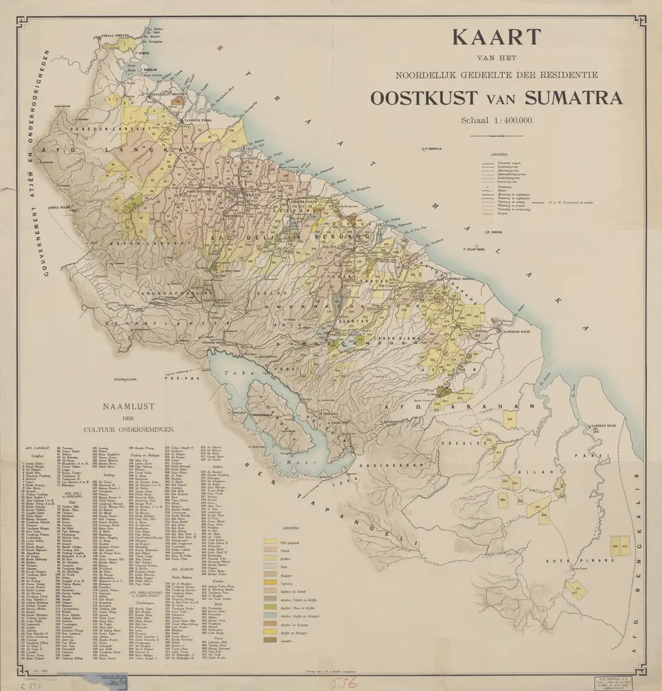
Kaart van het noordelijk gedeelte der Residentie Oostkust van Sumatra / Cartogr[aphische] Inr[ichting] J.H. de Bussy
1914
Cartogr[aphische] Inr[ichting] J.H. de Bussy Amsterdam
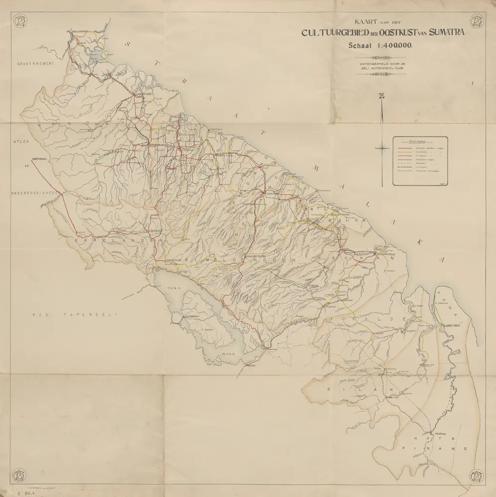
Kaart van het cultuurgebied der Oostkust van Sumatra / samengesteld door de Deli Automobiel Club
1922
Deli Automobiel Club Medan
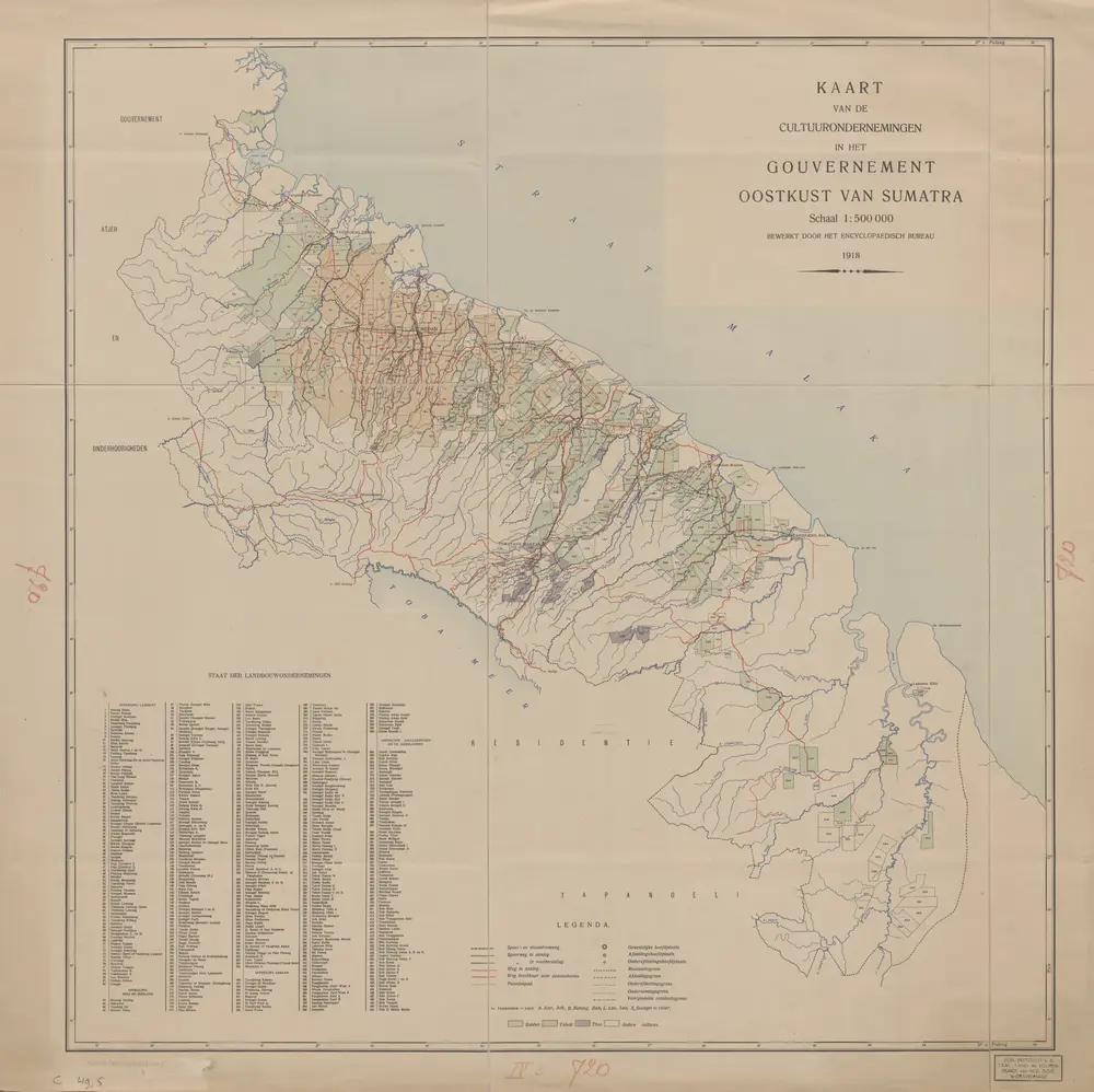
Kaart van de cultuurondernemingen in het Gouvernement Oostkust van Sumatra / bewerkt door het Encyclopaedisch Bureau
1918
Encyclopaedisch Bureau Batavia